Browse / United States / Wisconsin / Minocqua
Minocqua
WisconsinCDP

Minocqua
Total population
497
Median home value
$475,900
Bachelor's+
Median income
$41,436
Demographic figures from US Census Bureau · ACS 5-year estimates. Overview below cites Wikipedia and may reference a different year.
City facts
Facts from Wikidata (CC0).
Overview
Minocqua is a town in northwestern Oneida County, Wisconsin, United States. The population was 5,062 at 2025 estimates, representing no change from the 2020 census. The Minocqua census-designated place and the unincorporated community of Rantz are both located in the town. Minocqua is commonly referred to as "The Island City."
Read more on WikipediaHistory & geography
History
Minocqua was officially organized in the year 1889. Although there are varying explanations regarding the meaning of the word "Minocqua", most credit its origin to the Island's first inhabitants, the Ojibwe. The town Minocqua is named after "Ninocqua", the Ojibwe name that is defined as "noon-day-rest".. Landmarks on the Island include Torpy Park, the Belle-Isle building and the Minocqua Community Center. Town offices and the Minocqua Public Library are located in the Minocqua Community Center. Bosacki's Boat House burned to the ground in 1972. Although state regulations prohibited the structure being rebuilt over water, a public outcry convinced the DNR to allow it to be rebuilt where it had originally stood.
Geography
According to the United States Census Bureau, the town has a total area of 168.1 square miles (435.4 km), of which 150.8 square miles (390.6 km) is land and 17.3 square miles (44.8 km) is water for a total area of 10.29% water. Termed the "Island City," a portion of the town is situated on what was an actual island, which is accessible by bridge on Highway 51 and "the fill" to the north. Much of Minocqua has sandy soil, although areas of the far northwest and the northeast are clay. The majority of the soil is highly acidic, and many areas are covered by forests. The highest point in Minocqua is Squirrel Hill, located near Winter Park (1735 ft). The highest structure in Minocqua is the Lakeland Sanitary District water tower, a steel tank on Hwy 51 North put in place in the 1960s during the winter. The community of Bo-di-Lac (short for "Booth-Diamond-Lac du Flambeau) is located in the western portion of the town bordered by Squirrel Lake, Diamond Lake, Booth Lake, and the town of Lac du Flambeau. Minocqua has a humid continental climate (Köppen Dfb) with long, cold winters and mild, humid summers.
Excerpted from the corresponding Wikipedia article (CC BY-SA).
Demographics & economy
Race & ethnicity
Source: US Census Bureau — American Community Survey, 5-year estimates.
Geography
Coordinates & boundaries from the US Census TIGER/Line shapefiles.
Climate
Current forecast
Forecast for Minocqua, WI from NOAA NWS API.
Air quality
Industrial & pollution facilities
Natural hazard risk
Health (adults)
Walkability
Amenities nearby
Wildlife & biodiversity
Most-observed species
- Black-capped ChickadeePoecile atricapillus (Linnaeus, 1766) · Aves3,487
- Blue JayCyanocitta cristata (Linnaeus, 1758) · Aves3,211
- Red-breasted NuthatchSitta canadensis Linnaeus, 1766 · Aves2,626
- White-breasted NuthatchSitta carolinensis Latham, 1790 · Aves2,553
- Bald EagleHaliaeetus leucocephalus (Linnaeus, 1766) · Aves2,453
- American CrowCorvus brachyrhynchos C.L.Brehm, 1822 · Aves2,336
- Hairy WoodpeckerLeuconotopicus villosus (Linnaeus, 1766) · Aves2,251
- American GoldfinchSpinus tristis (Linnaeus, 1758) · Aves2,233
Citizen-science & research observations from the Global Biodiversity Information Facility (GBIF).
Schools
Earthquake history
Most recent
- M 2.5 — 2024-01-073 km NE of Mole Lake, Wisconsin
Events from the USGS Earthquake Catalog (global) (FDSN Event Web Service).
Photos
Sights & places nearby
Notable people from here


People born within ~10 km, from Wikidata (CC0). Click any name for their Wikipedia article.
Nearby places in Wisconsin
Geography & sun
Elevation, sunrise/sunset and daylight from Open-Meteo. Solar climatology from NASA POWER.
Nearby airports
Public attention
Pageview totals from the Wikimedia Pageviews API.
Books about Minocqua


Search results from Open Library.
Recent natural events nearby
Ground air-quality sensors
Recently spotted species
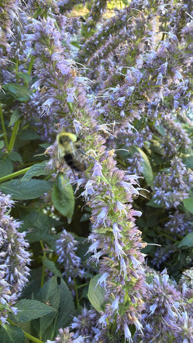
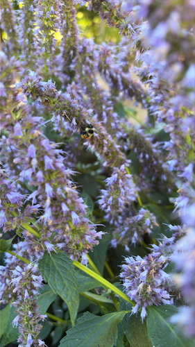
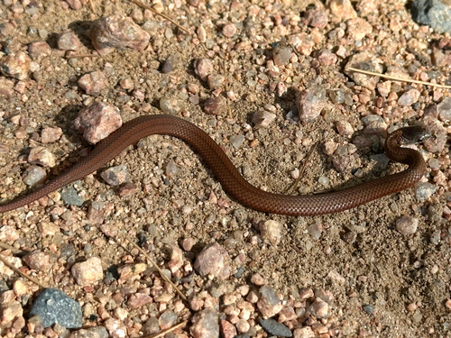
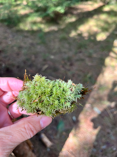
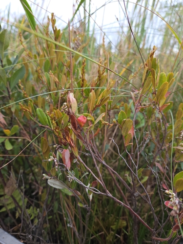
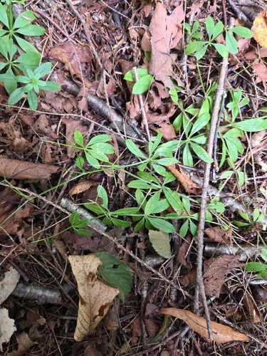
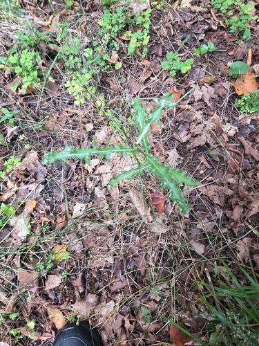
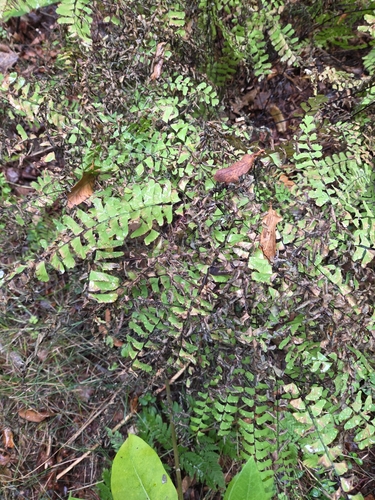
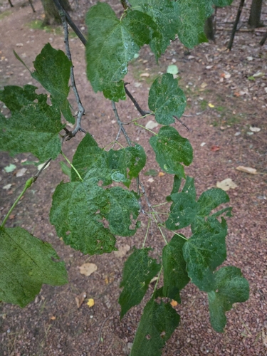
Research-grade observations from iNaturalist (within ~15 mi).
Nearest stream gauge
Events
Gallery
Sources
- • Wikipedia
- • US Census Bureau (ACS 5-year estimates)
- • NOAA National Weather Service
- • Wikidata
- • USGS Earthquake Catalog (global feed)
- • GBIF (Global Biodiversity Information Facility)
- • iNaturalist
- • Open-Meteo / sunrise-sunset.org
- • Wikipedia Pageviews API
- • Open Library