Browse / United States / Wisconsin / Pine River
Pine River
WisconsinCDP
Total population
106
Median home value
$197,900
Bachelor's+
Median income
$42,917
Demographic figures from US Census Bureau · ACS 5-year estimates. Overview below cites Wikipedia and may reference a different year.
City facts
Facts from Wikidata (CC0).
Overview
Pine River sits in Wisconsin, United States and is identified as a small census-designated community. Pine River maps to 44.149°, -89.076° — squarely within the temperate belt. Population sits at roughly 106 according to the open data we track. At 35 people per km², the census-designated community shows a very sparse settlement pattern. Climatically, locations at this latitude tend to experience four distinct seasons with warm summers and cold winters. Total area is recorded as a compact 3 km². Detailed open-data panels follow, covering demographics, climate, geography, wildlife and nearby settlements.
Summary composed automatically from structured open data on this page. See our Terms for details.
History & geography
Geography
The town of Pine River occupies the southeastern corner of Lincoln County. It is bordered to the east by Langlade County and to the south by Marathon County. Part of the town's western border is with the city of Merrill, the Lincoln county seat. The remainder of the western border follows the Wisconsin River. According to the United States Census Bureau, the town has a total area of , of which are land and , or 0.78%, are water. The Pine River crosses the town from northeast to southwest, joining the Wisconsin at the unincorporated community of Pine River.
Excerpted from the corresponding Wikipedia article (CC BY-SA).
Demographics & economy
Race & ethnicity
Source: US Census Bureau — American Community Survey, 5-year estimates.
Geography
Coordinates & boundaries from the US Census TIGER/Line shapefiles.
Climate
Air quality
Industrial & pollution facilities
Natural hazard risk
Health (adults)
Age-adjusted prevalence estimates from CDC PLACES (latest release).
Walkability
Amenities nearby
Wildlife & biodiversity
Most-observed species
- Red-winged BlackbirdAgelaius phoeniceus (Linnaeus, 1766) · Aves1,167
- American RobinTurdus migratorius Linnaeus, 1766 · Aves1,119
- Mourning DoveZenaida macroura (Linnaeus, 1758) · Aves1,048
- Northern CardinalCardinalis cardinalis (Linnaeus, 1758) · Aves1,006
- Black-capped ChickadeePoecile atricapillus (Linnaeus, 1766) · Aves979
- Canada Goose (canadensis Group)Branta canadensis (Linnaeus, 1758) · Aves924
- Blue JayCyanocitta cristata (Linnaeus, 1758) · Aves912
- American CrowCorvus brachyrhynchos C.L.Brehm, 1822 · Aves876
Citizen-science & research observations from the Global Biodiversity Information Facility (GBIF).
Schools
Largest nearby schools
- Wild Rose ElementaryElementary · Wild Rose · 283 students · 13.5:1 ratio
- Wild Rose HighHigh · Wild Rose · 273 students · 12.4:1 ratio
- Redgranite ElementaryElementary · Redgranite · 119 students · 11.9:1 ratio
- Redgranite Correctional InstituteHigh · Redgranite
Public K–12 schools within ~10 mi from Urban Institute Education Data Portal (NCES Common Core of Data, 2022).
Earthquake history
Events from the USGS Earthquake Catalog (global) (FDSN Event Web Service).
Photos
Sights & places nearby
Notable people from here
Nearby places in Wisconsin
Geography & sun
Nearby airports
Public attention
Books about this place
Recent natural events nearby
Ground air-quality sensors
Recently spotted species
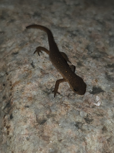
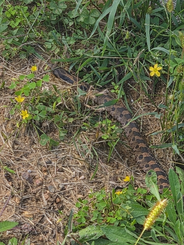
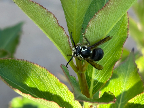
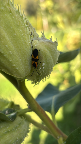
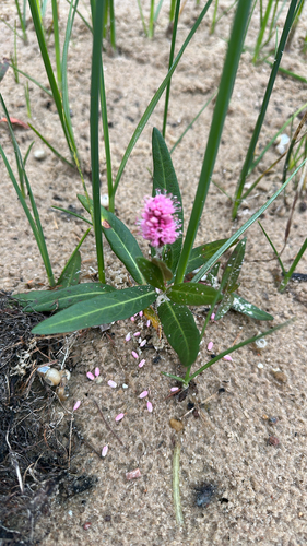
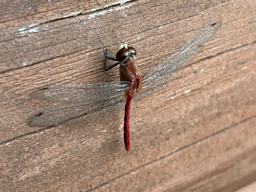
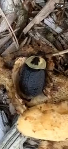
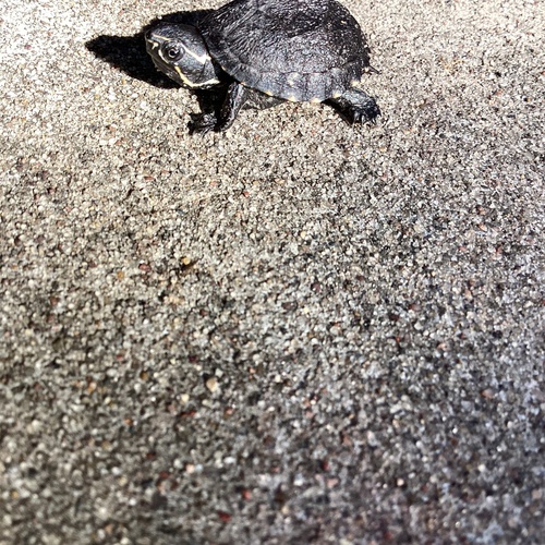
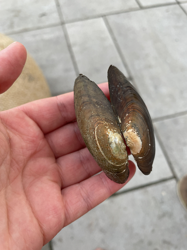
Research-grade observations from iNaturalist (within ~15 mi).
Nearest stream gauge
Events
Gallery
Sources
- • Wikipedia
- • US Census Bureau (ACS 5-year estimates)
- • Wikidata
- • USGS Earthquake Catalog (global feed)
- • NCES via Urban Institute Education Data Portal
- • GBIF (Global Biodiversity Information Facility)
- • iNaturalist
- • CDC PLACES