Browse / United States / Wisconsin / Plain
Plain
Wisconsinvillage

Plain
Total population
780
Median home value
$234,200
Bachelor's+
Median income
$96,000
Founded
1850
Demographic figures from US Census Bureau · ACS 5-year estimates. Overview below cites Wikipedia and may reference a different year.
- Flood Watch · SevereFlood Watch issued September 18 at 1:37PM CDT until September 19 at 1:00PM CDT by NWS Milwaukee/Sullivan WI
Source: NOAA National Weather Service.
City facts
Facts from Wikidata (CC0).
Overview
Plain is a village in Sauk County, Wisconsin, United States. The population was 749 at the 2020 census.
Read more on WikipediaHistory & geography
History
The village of Plain is located on Wisconsin Highway 23 and County Road B in the Township of Franklin. The area of Plain was originally known as Cramer's Corners after four Cramer brothers (John, Jeremiah, Adam and Solomon, Sr.) moved to the Plain area in the early 1850s. They came from Troy Township in Richland County, Ohio and Morrow County, Ohio. Joseph Cramer was originally from Letterkenny Township, Pennsylvania. The Cramers are listed as land owners in the 1859 Town of Franklin map. This Cramer family should not be confused with the Kraemer [Krämer] family from Irlach, Bavaria, Germany, who settled in Plain, Wisconsin, in 1867. Several rough buildings were erected and the area acquired the nickname of Logtown (also spelled Log Town). A post office was proposed to be established at Plain on March 31, 1858, with B. V. Bunnel as postmaster. The proposed mail route was Prairie du Sac, Sauk City, Harrisburg, Plain, Maqua to Sextonville in Richland County. Plain formally became a village in 1912. The origin of the village's name is widely rumored to have been selected as an homage to the Shrine of the Virgin Mary at Maria Plain on the hill known as Plainberg in the village of Bergheim, Austria outside Salzburg, Austria. There are, however, no known documents, newspaper articles or books of the time to support this claim, and writings of the time indicate a less colorful origin. Plain was "called Plain because the inhabitants were plain people". In September 1915, a subscriber of the local newspaper wrote of his desire to have Plain re-christened as the town had expanded and improved so much over the past three years that it had outgrown the "plain"-ness of its name. The unnamed author wrote: "Within a few weeks very strong efforts will be made at proper…
Geography
Plain is located at (43.277580, -90.044563). According to the United States Census Bureau, the village has a total area of , all land.
Excerpted from the corresponding Wikipedia article (CC BY-SA).
Demographics & economy
Race & ethnicity
Source: US Census Bureau — American Community Survey, 5-year estimates.
Geography
Coordinates & boundaries from the US Census TIGER/Line shapefiles.
Climate
Current forecast
Forecast for Plain, WI from NOAA NWS API.
Air quality
Industrial & pollution facilities
Natural hazard risk
Health (adults)
Age-adjusted prevalence estimates from CDC PLACES (latest release).
Walkability
Amenities nearby
Wildlife & biodiversity
Schools
Largest nearby schools
- River Valley HighHigh · Spring Green · 389 students · 13:1 ratio
- River Valley MiddleMiddle · Spring Green · 317 students · 11.3:1 ratio
- River Valley ElementaryElementary · Spring Green · 283 students · 12.3:1 ratio
- Tower Rock ElementaryElementary · Prairie du Sac · 228 students · 10.9:1 ratio
- River Valley Early Learning CenterElementary · Plain · 109 students · 12.1:1 ratio
Public K–12 schools within ~10 mi from Urban Institute Education Data Portal (NCES Common Core of Data, 2022).
Earthquake history
Photos
Sights & places nearby
Notable people from here
Nearby places in Wisconsin
Geography & sun
Elevation, sunrise/sunset and daylight from Open-Meteo. Solar climatology from NASA POWER.
Nearby airports
Public attention
Pageview totals from the Wikimedia Pageviews API.
Books about Plain

Search results from Open Library.
Recent natural events nearby
Ground air-quality sensors
Recently spotted species
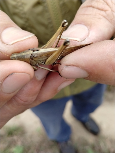
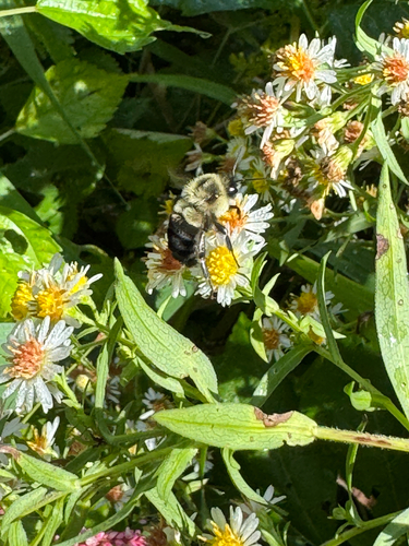
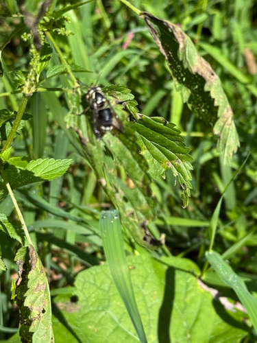
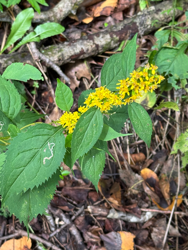
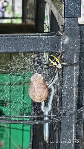
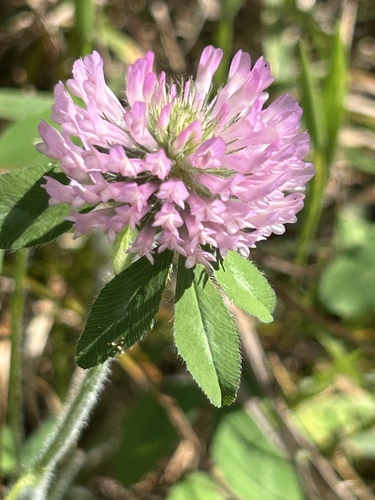
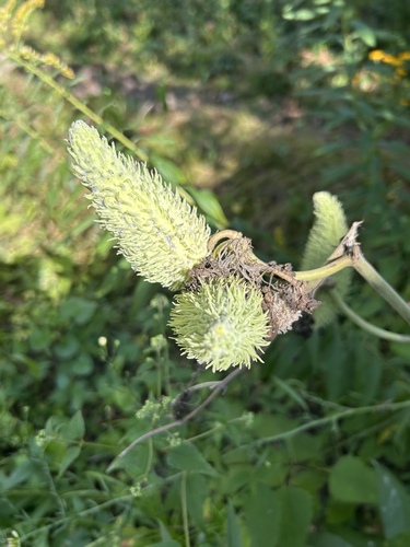
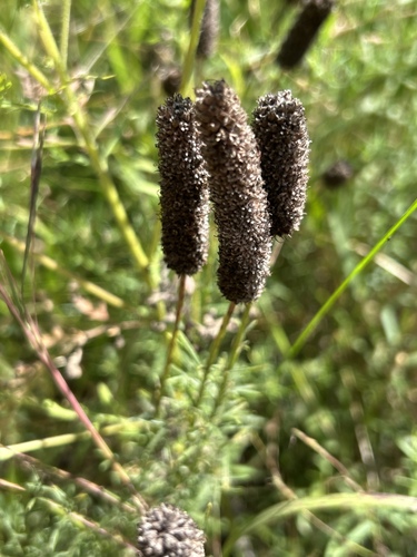
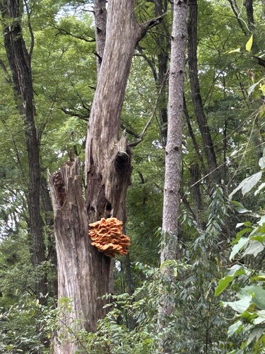
Research-grade observations from iNaturalist (within ~15 mi).
Nearest stream gauge
Live readings from USGS NWIS · measured 2026-09-18 15:00 UTC.
Events
Gallery
Sources
- • Wikipedia
- • US Census Bureau (ACS 5-year estimates)
- • NOAA National Weather Service
- • Wikidata
- • USGS NWIS (water data)
- • NCES via Urban Institute Education Data Portal
- • iNaturalist
- • CDC PLACES
- • Open-Meteo / sunrise-sunset.org
- • Wikipedia Pageviews API
- • Open Library