Browse / United States / Wisconsin / Pleasant Prairie
Pleasant Prairie
Wisconsinvillage

Pleasant Prairie
Total population
21,669
Median home value
$360,400
Bachelor's+
Median income
$103,902
Demographic figures from US Census Bureau · ACS 5-year estimates. Overview below cites Wikipedia and may reference a different year.
City facts
Facts from Wikidata (CC0).
Overview
Pleasant Prairie is a village in Kenosha County, Wisconsin, United States. Located along the southwestern shoreline of Lake Michigan, the village is south of the city of Kenosha and north of the Wisconsin-Illinois border. It is part of the Kenosha, WI Metropolitan Statistical Area and the Chicago–Naperville, IL–IN–WI Combined Statistical Area. Among its notable features are the RecPlex and Chiwaukee Prairie. Pleasant Prairie was home to 21,250 people at the 2020 census.
Read more on WikipediaHistory & geography
History
The Pleasant Prairie area was the center of Native American activity in pre-pioneer Wisconsin. The early Native American campsites were located along what was once the shoreline of Lake Michigan. Pleasant Prairie also saw pioneers arrive in Wisconsin on the Jambeau Trail, now known as Green Bay Road. In addition, several natural historic sites such as the Chiwaukee Prairie and the Kenosha Sand Dunes lie undisturbed in Pleasant Prairie. The area's first white settler was Horace Woodbridge, who arrived on June 4, 1833; Henry Miller arrived later that same month. Pleasant Prairie had its beginnings as a political entity in April 1842 when the first town meeting was held and the first election of town officials took place. The early town officials met in the Williams Congregational Church located at 93rd Street and Green Bay Road. Later the old church became the town hall. Pleasant Prairie originally was a town nearly in size. Over the next 150 years, the city of Kenosha began to annex lands south of 60th Street and west from Lake Michigan. The town of Pleasant Prairie was slowly reduced in size as Kenosha grew. There were nine separate settlement areas in the town that in some cases became the starting point for significant growth. Some no longer exist. The original unincorporated community of Pleasant Prairie was located at 104th Avenue and Bain Station Road. In the early 20th century, Pleasant Prairie was the site of a 190-acre DuPont blasting powder plant. The plant, including 40 buildings, had an ongoing record of accidents. In 1909, residents of Kenosha County brought suit against the company on the grounds that the plant was a public menace. The suit was won by the company. On March 9, 1911, most of the town was destroyed by the explosion of five magazines…
Geography
Pleasant Prairie is located at (42.538820, –87.870229). According to the United States Census Bureau, the village has a total area of , of which is land and is water. Carol Beach is a residential neighborhood located in Pleasant Prairie. It is generally bordered by Lake Michigan to the east, the Wisconsin-Illinois border to the south, Sheridan Road (Wisconsin State Highway 32) to the west, and the Kenosha Sand Dunes to the north. Carol Beach traces its roots to 1921, the year that J. H. Penny & Sons purchased land south of 116th Street. Their development was called "Chiwaukee On the Lake," named for being halfway between Chicago and Milwaukee. It included the mansion owned by Fred P. Fischer, which was leased by Joe Louis in 1937 while he trained at the Lakefront Stadium in Kenosha. In 1924, Edith Rockefeller McCormick of Chicago, the daughter of John D. Rockefeller and daughter-in-law of reaper inventor Cyrus McCormick, purchased a land parcel to found a new community which soon adopted the name "Chiwaukee" (the area is nearly equidistant between Chicago and Milwaukee, Wisconsin). Chiwaukee was to have its own business district, golf course and playground, and its homes were to be constructed in the Tudor style. Some locals recall a promotional arch constructed over Sheridan Road to inform passersby of the new, planned community. A street network was installed, with Lake Shore Drive as the main thoroughfare. A national contest was announced to select a permanent name for the new community. Elmer Huge of La Porte, Indiana won a $1,500 prize for his winning submission: "Edithton Beach". When the Great Depression struck, McCormick's debts mounted and the project collapsed. The curbs and streets leading nowhere were the only visible reminders of the failed…
Excerpted from the corresponding Wikipedia article (CC BY-SA).
Demographics & economy
Race & ethnicity
Source: US Census Bureau — American Community Survey, 5-year estimates.
Geography
Coordinates & boundaries from the US Census TIGER/Line shapefiles.
Climate
Air quality
Industrial & pollution facilities
Natural hazard risk
Health (adults)
Walkability
Amenities nearby
Wildlife & biodiversity
Schools
Earthquake history
Photos
Sights & places nearby
Notable people from here


People born within ~10 km, from Wikidata (CC0). Click any name for their Wikipedia article.
Nearby places in Wisconsin
- Bristol6.2 mi away · pop. 5,207
- Paddock Lake11.5 mi away · pop. 2,947
- Sturtevant11.9 mi away
- Racine14.2 mi away · pop. 78,063
- Yorkville14.5 mi away
- Twin Lakes18.5 mi away
- Wind Point18.5 mi away
- Burlington22 mi away · pop. 10,987
- Lake Ivanhoe23.1 mi away · pop. 558
- Waterford23.4 mi away
- Oak Creek24.3 mi away · pop. 36,497
- Wind Lake24.8 mi away
Geography & sun
Elevation, sunrise/sunset and daylight from Open-Meteo. Solar climatology from NASA POWER.
Nearby airports
Public attention
Pageview totals from the Wikimedia Pageviews API.
Books about Pleasant Prairie

Search results from Open Library.
Recent natural events nearby
Ground air-quality sensors
Recently spotted species

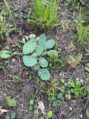
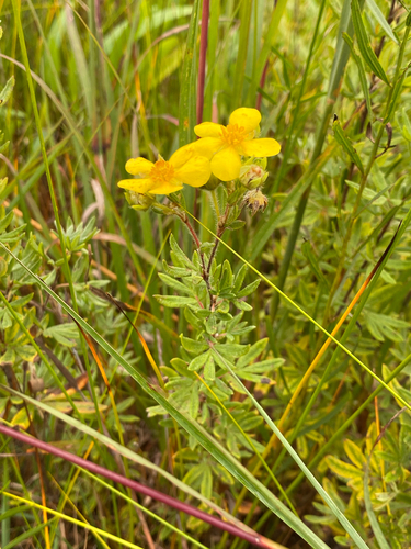
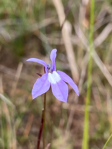

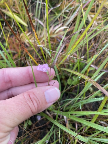
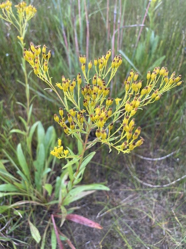
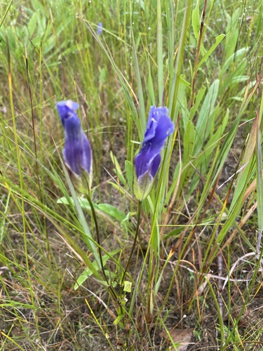
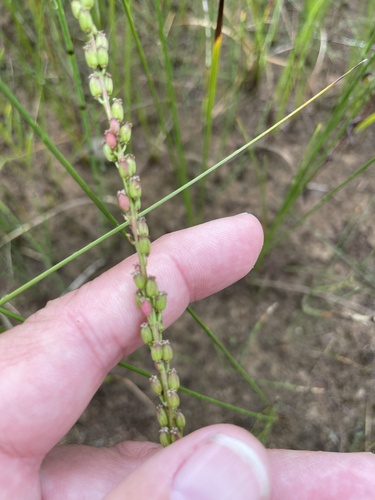
Research-grade observations from iNaturalist (within ~15 mi).
Nearest stream gauge
Events
Gallery
Sources
- • Wikipedia
- • US Census Bureau (ACS 5-year estimates)
- • Wikidata
- • iNaturalist
- • Open-Meteo / sunrise-sunset.org
- • Wikipedia Pageviews API
- • Open Library