Browse / United States / Wisconsin / Plymouth
Plymouth
Wisconsincity

Plymouth
Total population
8,890
Median home value
$213,300
Bachelor's+
Median income
$68,038
Demographic figures from US Census Bureau · ACS 5-year estimates. Overview below cites Wikipedia and may reference a different year.
City facts
Facts from Wikidata (CC0).
Overview
Plymouth is a city in Sheboygan County, Wisconsin, United States. The population was 8,932 at the 2020 census. It is part of the Sheboygan, Wisconsin, metropolitan area. Located along the Mullet River, it is surrounded by the Town of Plymouth. It is known as "Hub City" for its former role as a center of wooden wheelwrighting. Advertising itself as "The Cheese Capital of the World," it produces 14% of the cheese consumed in the United States. The mayor is Don Pohlman.
Read more on WikipediaHistory & geography
History
Plymouth was surveyed in 1835 by United States General Land Office surveyors. The Mullet river was named after one of the surveyors. The first land sold to a private party was sold on August 13, 1836 to Englishman John Law, who had emigrated from London. The next sale was to Thomas Margrave, also from London. Settlers continued arriving, leading to the Town of Plymouth being organized on April 3, 1849. The town was named Plymouth, after Plymouth, Massachusetts, where the Pilgrims had landed in 1620. Originally known by early Native Americans as Quit Qui Oc, or Crooked River, Plymouth was settled in 1845 by Isaac Thorp and others. It was incorporated in 1877. The city is nicknamed "Hub City", both for its central location within Sheboygan County and for its history of manufacturing hubs and spokes for wagons and bicycles.
Geography
According to the United States Census Bureau, the city has a total area of , of which is land and is water.
Excerpted from the corresponding Wikipedia article (CC BY-SA).
Demographics & economy
Race & ethnicity
Source: US Census Bureau — American Community Survey, 5-year estimates.
Geography
Coordinates & boundaries from the US Census TIGER/Line shapefiles.
Climate
Current forecast
Forecast for Plymouth, WI from NOAA NWS API.
Air quality
Industrial & pollution facilities
Natural hazard risk
Health (adults)
Age-adjusted prevalence estimates from CDC PLACES (latest release).
Walkability
Amenities nearby
Wildlife & biodiversity
Schools
Earthquake history
Photos
Sights & places nearby
Notable people from here


People born within ~10 km, from Wikidata (CC0). Click any name for their Wikipedia article.
Nearby places in Wisconsin
- Cascade6.2 mi away · pop. 620
- Hingham6.9 mi away · pop. 960
- Sheboygan Falls7 mi away
- Adell8.7 mi away · pop. 419
- Howards Grove9.3 mi away · pop. 3,223
- Gibbsville9.3 mi away · pop. 529
- Sheboygan11.7 mi away · pop. 49,645
- Cleveland16.1 mi away · pop. 1,676
- St. Nazianz18.2 mi away
- Waubeka19.1 mi away
- Kewaskum20.6 mi away · pop. 4,461
- Taycheedah21.6 mi away
Geography & sun
Elevation, sunrise/sunset and daylight from Open-Meteo. Solar climatology from NASA POWER.
Nearby airports
Public attention
Pageview totals from the Wikimedia Pageviews API.
Books about Plymouth



Search results from Open Library.
Recent natural events nearby
Ground air-quality sensors
Recently spotted species
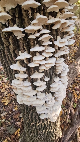
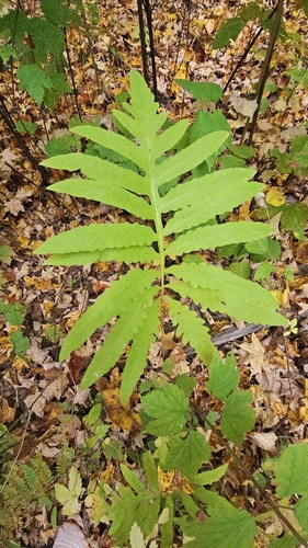


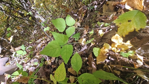
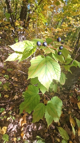
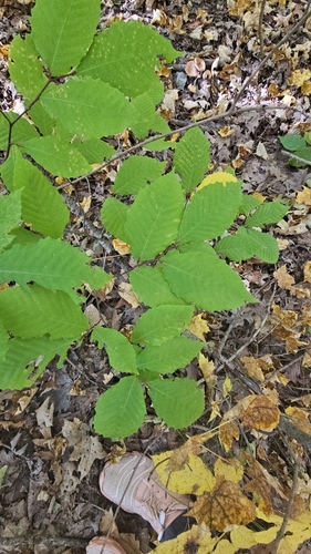

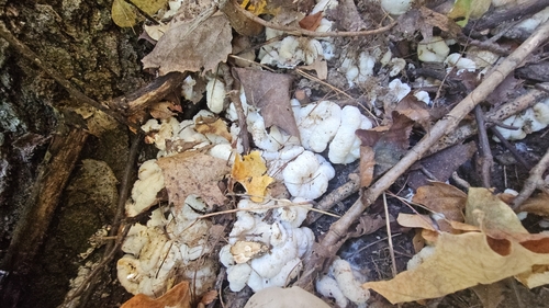
Research-grade observations from iNaturalist (within ~15 mi).
Nearest stream gauge
Events
Gallery
Sources
- • Wikipedia
- • US Census Bureau (ACS 5-year estimates)
- • NOAA National Weather Service
- • Wikidata
- • iNaturalist
- • CDC PLACES
- • Open-Meteo / sunrise-sunset.org
- • Wikipedia Pageviews API
- • Open Library