Browse / United States / Wisconsin / Sayner
Sayner
WisconsinCDP
Total population
213
Median home value
$244,600
Bachelor's+
Median income
$33,750
Demographic figures from US Census Bureau · ACS 5-year estimates. Overview below cites Wikipedia and may reference a different year.
City facts
Overview
Sayner is a census-designated place in the Town of Plum Lake in Vilas County, Wisconsin, United States. It is located at the intersection of Highway 155 and County N, about 15 miles northwest of Eagle River. As of the 2020 census, Sayner had a population of 231. Sayner has an area of 1.828 square miles (4.73 km2); 1.826 square miles (4.73 km2) of this is land, and 0.002 square miles (0.0052 km2) is water. Sayner got its name from Orrin W. Sayner, who settled the area in 1891, two years before any other settlers took up homes in the town. In 1895, the Milwaukee Road extended its Valley Line north from Woodruff to Star Lake, with a stop in Sayner. The line primarily carried lumber from area forests, later carried tourists and had been abandoned in the middle 20th century.
Read more on WikipediaHistory & geography
Demographics & economy
Race & ethnicity
Source: US Census Bureau — American Community Survey, 5-year estimates.
Geography
Coordinates & boundaries from the US Census TIGER/Line shapefiles.
Climate
Current forecast
Forecast for Sayner, WI from NOAA NWS API.
Air quality
Industrial & pollution facilities
Natural hazard risk
Health (adults)
Age-adjusted prevalence estimates from CDC PLACES (latest release).
Walkability
Amenities nearby
Wildlife & biodiversity
Most-observed species
- Black-capped ChickadeePoecile atricapillus (Linnaeus, 1766) · Aves3,807
- Blue JayCyanocitta cristata (Linnaeus, 1758) · Aves3,453
- Red-breasted NuthatchSitta canadensis Linnaeus, 1766 · Aves2,963
- Bald EagleHaliaeetus leucocephalus (Linnaeus, 1766) · Aves2,704
- White-breasted NuthatchSitta carolinensis Latham, 1790 · Aves2,637
- American CrowCorvus brachyrhynchos C.L.Brehm, 1822 · Aves2,486
- American GoldfinchSpinus tristis (Linnaeus, 1758) · Aves2,476
- Hairy WoodpeckerLeuconotopicus villosus (Linnaeus, 1766) · Aves2,393
Citizen-science & research observations from the Global Biodiversity Information Facility (GBIF).
Schools
Largest nearby schools
- Arbor Vitae-Woodruff ElementaryElementary · Arbor Vitae · 521 students · 11.6:1 ratio
- Northland Pines Elementary-St GermainElementary · Saint Germain · 90 students · 11.3:1 ratio
- Northland Pines Montessori Learning Center (NPMLC)Elementary · Saint Germain · 71 students · 17.8:1 ratio
Public K–12 schools within ~10 mi from Urban Institute Education Data Portal (NCES Common Core of Data, 2022).
Earthquake history
Most recent
- M 2.5 — 2024-01-073 km NE of Mole Lake, Wisconsin
Events from the USGS Earthquake Catalog (global) (FDSN Event Web Service).
Photos
Sights & places nearby
Notable people from here
Geography & sun
Elevation, sunrise/sunset and daylight from Open-Meteo. Solar climatology from NASA POWER.
Nearby airports
Public attention
Pageview totals from the Wikimedia Pageviews API.
Books about this place
Recent natural events nearby
Ground air-quality sensors
Recently spotted species
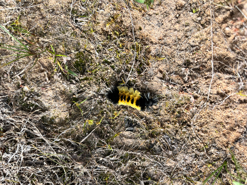
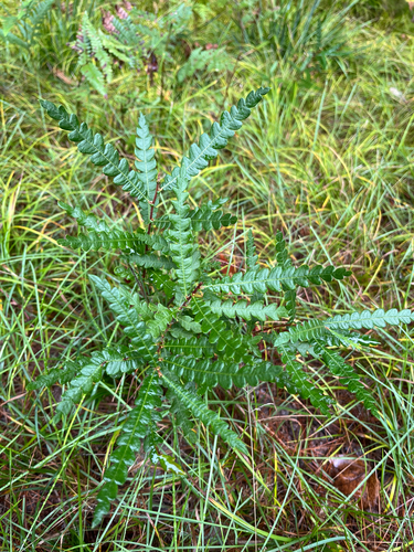
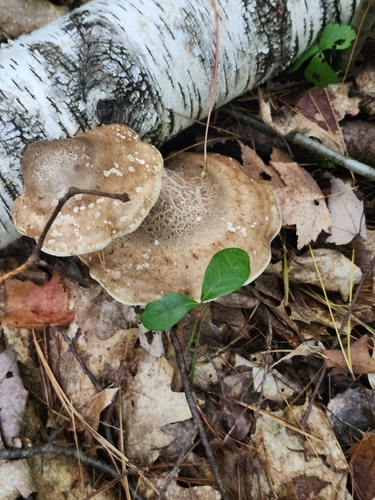
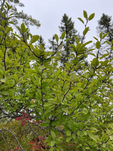
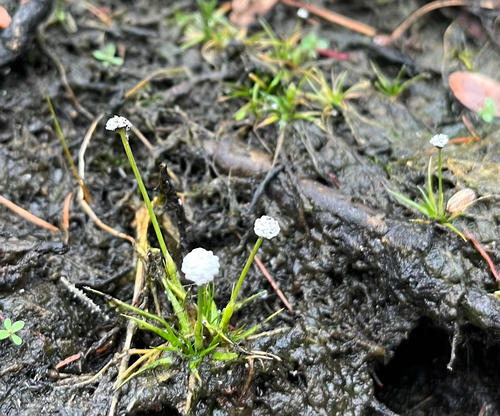
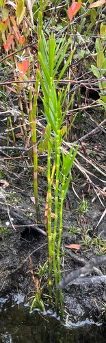
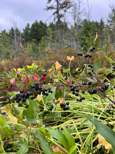
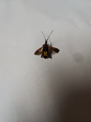
Research-grade observations from iNaturalist (within ~15 mi).
Nearest stream gauge
Events
Gallery
Sources
- • Wikipedia
- • US Census Bureau (ACS 5-year estimates)
- • NOAA National Weather Service
- • USGS Earthquake Catalog (global feed)
- • NCES via Urban Institute Education Data Portal
- • GBIF (Global Biodiversity Information Facility)
- • iNaturalist
- • CDC PLACES
- • Open-Meteo / sunrise-sunset.org
- • Wikipedia Pageviews API