Browse / United States / Wisconsin / Wausau
Wausau
Wisconsincity

Wausau
Total population
39,996
Median home value
$167,900
Bachelor's+
Median income
$64,389
Demographic figures from US Census Bureau · ACS 5-year estimates. Overview below cites Wikipedia and may reference a different year.
City facts
Facts from Wikidata (CC0).
Overview
Wausau is a city in Marathon County, Wisconsin, United States, and its county seat. It is located on the Wisconsin River in central Wisconsin and had a population of 39,994 at the 2020 census. The Wausau metropolitan statistical area, consisting solely of Marathon County, had a population of 138,013.
Read more on WikipediaHistory & geography
History
This area has for millennia changed hands between various indigenous peoples. The Ojibwe (also known in the United States as the Chippewa) occupied it in the period of European encounter. They had a lucrative fur trade for decades with French colonists and French Canadians. After the French and Indian War this trade was dominated by British-American trappers from the eastern seaboard. The Wisconsin River first drew European-American settlers to the area during the mid-19th century as they migrated west into the Great Lakes region following construction of the Erie Canal in New York State. This provided a route for products from the region to the large New York and other eastern markets. The area had been called "Big Bull Flats" or "Big Bull Falls" by French explorers, who were the first Europeans here. They named it for the long rapids in the river, which created many bubbles, called bulle in French. By an 1836 treaty with the United States, the Ojibwe ceded much of their lands in the area to federal ownership. It was sold to non-Native peoples. Wausau, from Ojibwe “waasa”, means "a faraway place". He made extensive additions, adding two sunrooms, arcaded windows, a tiled porch in the Mediterranean style, a formal classical entrance, and ornate custom-designed chimney crowns. The home is on the National Register of Historic Places as part of the Andrew Warren Historic District. When the railroad arrived in 1874, Wausau became more accessible to settlers and industry. This enabled the city to develop alternatives to the lumber industry, which was in decline since the clear-cutting of many forests. By 1906 the lumber was gone, but the city continued to grow and flourish. Other villages and towns in the area declined because of over-harvesting of the forests and lumber…
Geography
Wausau is located at . According to the United States Census Bureau, the city has an area of , of which is land and is water. The city is at an altitude of . Wausau is close to the center of the northern half of the Western Hemisphere. Just west of Wausau, 45°N meets 90°W (), which is exactly halfway between the equator and the north pole and a quarter of the way around the world from the prime meridian. Wausau's climate is classified as warm summer humid continental (Dfb). It is built on or around a hemiboreal forest, which has some of the characteristics of a boreal forest and shares some of the features of the temperate zone forests to the south. Coniferous trees predominate in the hemiboreal zone, but a significant number of deciduous species are found there, as well. ;Notes:
Excerpted from the corresponding Wikipedia article (CC BY-SA).
Demographics & economy
Race & ethnicity
Source: US Census Bureau — American Community Survey, 5-year estimates.
Geography
Coordinates & boundaries from the US Census TIGER/Line shapefiles.
Climate
Air quality
Industrial & pollution facilities
Natural hazard risk
Health (adults)
Age-adjusted prevalence estimates from CDC PLACES (latest release).
Walkability
Amenities nearby
Wildlife & biodiversity
Most-observed species
- American GoldfinchSpinus tristis (Linnaeus, 1758) · Aves11,968
- Black-capped ChickadeePoecile atricapillus (Linnaeus, 1766) · Aves11,032
- Downy WoodpeckerDryobates pubescens (Linnaeus, 1766) · Aves8,774
- Mourning DoveZenaida macroura (Linnaeus, 1758) · Aves8,580
- Blue JayCyanocitta cristata (Linnaeus, 1758) · Aves8,055
- American CrowCorvus brachyrhynchos C.L.Brehm, 1822 · Aves7,546
- White-breasted NuthatchSitta carolinensis Latham, 1790 · Aves6,738
- American RobinTurdus migratorius Linnaeus, 1766 · Aves6,647
Citizen-science & research observations from the Global Biodiversity Information Facility (GBIF).
Schools
Largest nearby schools
- West HighHigh · Wausau · 1,446 students · 14.6:1 ratio
- D C Everest HighHigh · Weston · 1,311 students · 17.5:1 ratio
- John Muir MiddleMiddle · Wausau · 1,006 students · 13.4:1 ratio
- East HighHigh · Wausau · 902 students · 13.1:1 ratio
- D C Everest Junior HighOther · Weston · 872 students · 15.9:1 ratio
- D C Everest MiddleMiddle · Weston · 833 students · 14.6:1 ratio
- Horace Mann MiddleMiddle · Wausau · 683 students · 12.6:1 ratio
- G D Jones ElementaryElementary · Wausau · 539 students · 15.4:1 ratio
Public K–12 schools within ~10 mi from Urban Institute Education Data Portal (NCES Common Core of Data, 2022).
Earthquake history
Most recent
- M 2.5 — 2024-01-073 km NE of Mole Lake, Wisconsin
Events from the USGS Earthquake Catalog (global) (FDSN Event Web Service).
Photos
Sights & places nearby
Notable people from here


People born within ~10 km, from Wikidata (CC0). Click any name for their Wikipedia article.
Nearby places in Wisconsin
Geography & sun
Elevation, sunrise/sunset and daylight from Open-Meteo. Solar climatology from NASA POWER.
Nearby airports
Public attention
Pageview totals from the Wikimedia Pageviews API.
Books about Wausau


Search results from Open Library.
Recent natural events nearby
Ground air-quality sensors
Recently spotted species
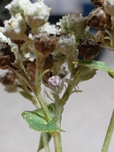
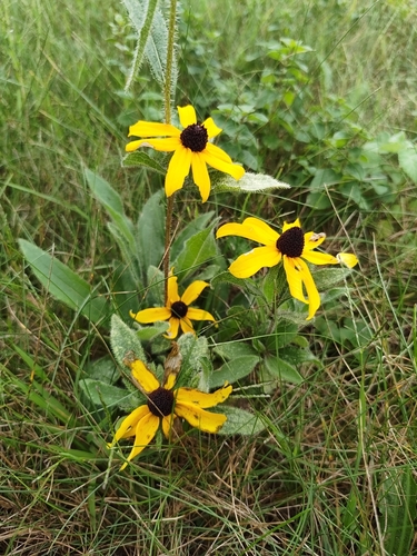
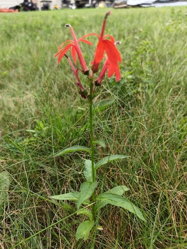
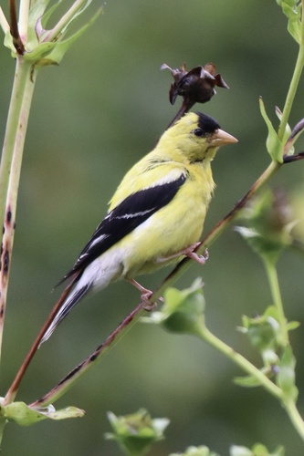
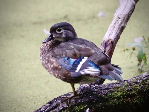
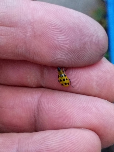
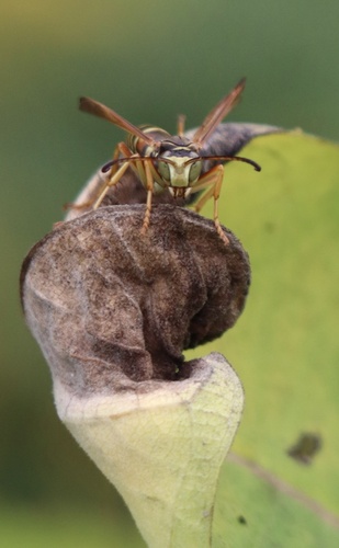
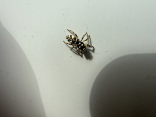
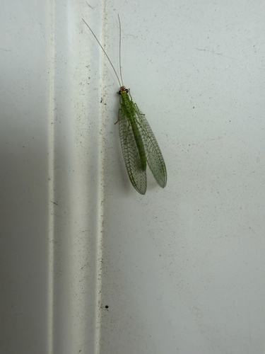
Research-grade observations from iNaturalist (within ~15 mi).
Nearest stream gauge
Live readings from USGS NWIS · measured 2026-09-04 13:05 UTC.
Events
Gallery
Sources
- • Wikipedia
- • US Census Bureau (ACS 5-year estimates)
- • Wikidata
- • USGS Earthquake Catalog (global feed)
- • USGS NWIS (water data)
- • NCES via Urban Institute Education Data Portal
- • GBIF (Global Biodiversity Information Facility)
- • iNaturalist
- • CDC PLACES
- • Open-Meteo / sunrise-sunset.org
- • Wikipedia Pageviews API
- • Open Library