Browse / United States / Wisconsin / Wisconsin Rapids
Wisconsin Rapids
Wisconsincity

Wisconsin Rapids
Total population
18,722
Median home value
$131,900
Bachelor's+
Median income
$55,253
Demographic figures from US Census Bureau · ACS 5-year estimates. Overview below cites Wikipedia and may reference a different year.
City facts
Facts from Wikidata (CC0).
Overview
Wisconsin Rapids is a city in and the county seat of Wood County, Wisconsin, United States, along the Wisconsin River. The population was 18,877 at the 2020 census. It is a principal city of the Marshfield–Wisconsin Rapids micropolitan statistical area, which includes all of Wood County and had a population of 74,207 in 2020.
Read more on WikipediaHistory & geography
History
The Menominee claimed the big rapids in the forest prior to European settlement, with Ojibwe and Ho-Chunk lands nearby. They called the place "Ah-dah-wah-gam" meaning "Two-sided Rapids" because the rapids were split by a large chunk of rock. In 1836, the Menominee ceded this land, along with more land to the east, to the U.S. in the Treaty of the Cedars. This particular land cession was a strip spanning three miles on either side of the Wisconsin River, starting at Point Basse and reaching upstream to Big Bull Falls – the future site of Wausau. The U.S. negotiators pressed the Menominee for this strip before the surrounding lands because it held prime pine timber and was within easy reach of the river. In 1832, Daniel Whitney had built a sawmill downstream, across from modern Nekoosa. Whitney's operation demonstrated the feasibility of rafting lumber to markets downstream. When the treaty of 1836 made the strip along the Wisconsin River available, lumbermen rushed in exploring for mill sites, Some of the boards went into drying piles for local use, but the majority were destined for distant markets like Portage, Dubuque, and St. Louis. These were stacked along the river, then bound into 16 by 16-foot "cribs" of boards. When the river was running well (generally spring) six or seven of these cribs were joined into a "rapids piece" - a 100-foot long, flexible raft suited to running the rocky rapids of the upper Wisconsin River. Of those rapids, Grand Rapids was one of the most dangerous. Before today's placid, flat reservoir, the river surged through a series of rapids a mile long, and rafts had to run when the water was high. In early years that passage was aided by wing dams to focus the current; in later years dams across the river provided chutes for the rafts to…
Geography
Wisconsin Rapids is located at (44.3835763, -89.8173466). According to the United States Census Bureau, the city has a total area of , of which is land and is water.
Excerpted from the corresponding Wikipedia article (CC BY-SA).
Demographics & economy
Race & ethnicity
Source: US Census Bureau — American Community Survey, 5-year estimates.
Geography
Coordinates & boundaries from the US Census TIGER/Line shapefiles.
Climate
Air quality
Industrial & pollution facilities
Natural hazard risk
Health (adults)
Age-adjusted prevalence estimates from CDC PLACES (latest release).
Walkability
Amenities nearby
Wildlife & biodiversity
Schools
Earthquake history
Photos
Sights & places nearby
Notable people from here


People born within ~10 km, from Wikidata (CC0). Click any name for their Wikipedia article.
Geography & sun
Elevation, sunrise/sunset and daylight from Open-Meteo. Solar climatology from NASA POWER.
Nearby airports
Public attention
Pageview totals from the Wikimedia Pageviews API.
Books about Wisconsin Rapids


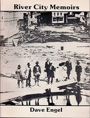
Search results from Open Library.
Recent natural events nearby
Ground air-quality sensors
Recently spotted species



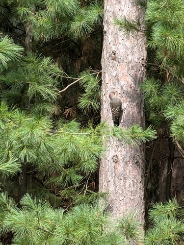
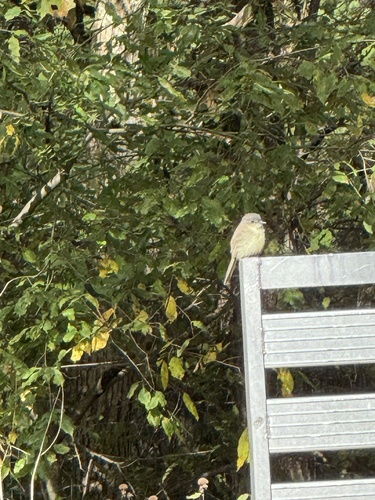

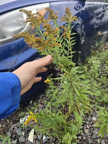
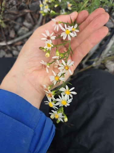

Research-grade observations from iNaturalist (within ~15 mi).
Nearest stream gauge
Events
Gallery
Sources
- • Wikipedia
- • US Census Bureau (ACS 5-year estimates)
- • Wikidata
- • iNaturalist
- • CDC PLACES
- • Open-Meteo / sunrise-sunset.org
- • Wikipedia Pageviews API
- • Open Library