Browse / United States / West Virginia / Lewisburg
Lewisburg
West Virginiacity

Lewisburg
Total population
3,835
Median home value
$334,900
Bachelor's+
Median income
$49,560
Founded
1782
Air quality index
Demographic figures from US Census Bureau · ACS 5-year estimates. Overview below cites Wikipedia and may reference a different year.
City facts
Facts from Wikidata (CC0).
Overview
Lewisburg is a city in and the county seat of Greenbrier County, West Virginia, United States. The population was 3,930 at the 2020 census.
Read more on WikipediaHistory & geography
History
Lewisburg is named after Andrew Lewis. In 1751 Lewis, as a young surveyor, established a camp near the spring behind the present courthouse. This spring has been known as the Lewis Spring since that time. During Pontiac's Rebellion in 1763, Native Americans completely destroyed two of the early European settlements in Greenbrier County, killing the men and carrying off the women and children. This raid virtually eliminated all of the earliest settlers in the county. The Native Americans were primarily Shawnees, and (according to undocumented tradition) were led by the famous leader Hokoleskwa, or Cornstalk. By 1770 a fortified encampment called Fort Savannah was established at the Lewis Spring. In 1774, Governor Dunmore of Virginia instructed then-Colonel Andrew Lewis to gather "willing and able men" to go to the great Kanawha River and stand against the Native American forces that were attacking the Greenbrier Valley. In what became known as Lord Dunmore's War, over 1,490 men were assembled, some at Fort Pitt at present-day Pittsburgh, and others at Fort Union, on the site of present-day Lewisburg. These recruits included Lewis's brother Charles, and others which history books refer to as one of the most remarkable assemblages of frontier leaders in American history. Thirteen were men of political and military distinction. Lewis's army marched down the New and Kanawha Rivers to the Ohio River, where they intended to cross over and invade the Ohio Country, which was the home of the Shawnees. The Native Americans, led by Cornstalk, attempted to cut them off at the mouth of the Kanawha, where they fought an inconclusive battle that came to be known as the Battle of Point Pleasant. When the town of Lewisburg was formally laid out in 1780, Matthew Arbuckle, Sr. was the…
Geography
Lewisburg is located approximately one mile north of the Greenbrier River. According to the United States Census Bureau, the city has a total area of , of which is land and is water. Much of it is within the karst belt and a sinkhole is gated over at an intersection. It is part of the Davis Spring subwatershed. Lewisburg is part of the Southern West Virginia region. The climate in this area is characterized by hot, humid summers and generally cold winters. According to the Köppen Climate Classification system, Lewisburg has a humid continental climate, abbreviated "Dfb" on climate maps.
Excerpted from the corresponding Wikipedia article (CC BY-SA).
Demographics & economy
Race & ethnicity
Source: US Census Bureau — American Community Survey, 5-year estimates.
Geography
Coordinates & boundaries from the US Census TIGER/Line shapefiles.
Climate
Current forecast
Forecast for Lewisburg, WV from NOAA NWS API.
Air quality
Current readings from Open-Meteo Air Quality API (Copernicus CAMS European reanalysis).
Industrial & pollution facilities
Natural hazard risk
Health (adults)
Age-adjusted prevalence estimates from CDC PLACES (latest release).
Walkability
Amenities nearby
Wildlife & biodiversity
Most-observed species
- American CrowCorvus brachyrhynchos C.L.Brehm, 1822 · Aves930
- Northern CardinalCardinalis cardinalis (Linnaeus, 1758) · Aves908
- American RobinTurdus migratorius Linnaeus, 1766 · Aves856
- Blue JayCyanocitta cristata (Linnaeus, 1758) · Aves797
- Mourning DoveZenaida macroura (Linnaeus, 1758) · Aves720
- Song SparrowMelospiza melodia (A.Wilson, 1810) · Aves706
- Tufted TitmouseBaeolophus bicolor (Linnaeus, 1766) · Aves703
- American GoldfinchSpinus tristis (Linnaeus, 1758) · Aves689
Citizen-science & research observations from the Global Biodiversity Information Facility (GBIF).
Schools
Largest nearby schools
- GREENBRIER EAST HIGH SCHOOLHigh · LEWISBURG · 1,014 students · 15.4:1 ratio
- EASTERN GREENBRIER MIDDLE SCHOOLMiddle · RONCEVERTE · 732 students · 14.1:1 ratio
- LEWISBURG ELEMENTARYElementary · LEWISBURG · 461 students · 15.4:1 ratio
- RONCEVERTE ELEMENTARYElementary · RONCEVERTE · 401 students · 14.9:1 ratio
- WHITE SULPHUR ELEMENTARYElementary · WHITE SULPHUR SPRINGS · 337 students · 13.5:1 ratio
- FRANKFORD ELEMENTARYElementary · FRANKFORD · 214 students · 11.9:1 ratio
- The Achievement CenterOther · Lewisburg · 29 students
- GREENBRIER SCHOOL OF PRACTICAL NURSINGOther · LEWISBURG
Public K–12 schools within ~10 mi from Urban Institute Education Data Portal (NCES Common Core of Data, 2022).
Earthquake history
Most recent
- M 2.55 — 2023-06-172 km N of Pembroke, Virginia
- M 2.56 — 2021-09-274 km N of Lafayette, Virginia
- M 2.76 — 2021-07-1510 km S of Narrows, Virginia
- M 2.54 — 2019-12-1121 km W of New Castle, Virginia
- M 2.61 — 2019-03-0413 km E of Meadow Bridge, West Virginia
- M 3.2 — 2017-09-1311 km NE of Peterstown, West Virginia
Events from the USGS Earthquake Catalog (global) (FDSN Event Web Service).
Photos
Sights & places nearby
Notable people from here


People born within ~10 km, from Wikidata (CC0). Click any name for their Wikipedia article.
Nearby places in West Virginia
Geography & sun
Elevation, sunrise/sunset and daylight from Open-Meteo. Solar climatology from NASA POWER.
Nearby airports
Public attention
Pageview totals from the Wikimedia Pageviews API.
Books about Lewisburg


Search results from Open Library.
Recent natural events nearby
- Little Schloss RX Prescribed Fire, Shenandoah, VirginiaWildfires · 2026-06-10 · 124 mi
Wildfires, storms and other events from NASA EONET (last 12 months, within 250 mi).
Ground air-quality sensors
Recently spotted species
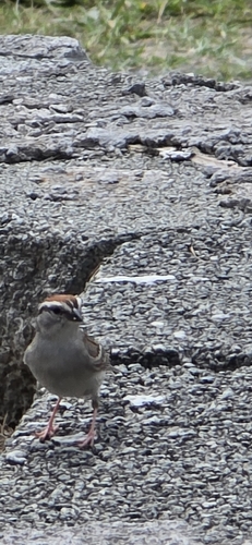
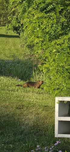
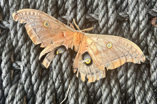
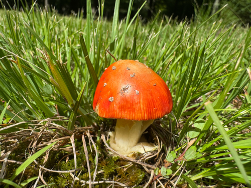
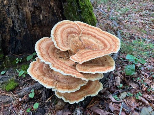
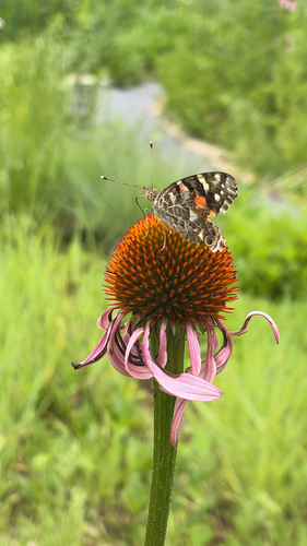
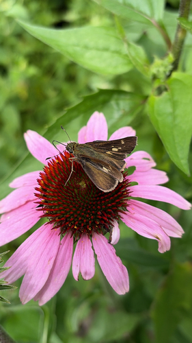
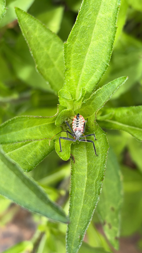
Research-grade observations from iNaturalist (within ~15 mi).
Nearest stream gauge
Live readings from USGS NWIS · measured 2026-06-27 12:35 UTC.
Events
Gallery
Geotagged photos within ~6 miles of Lewisburg, from Wikimedia Commons contributors.
 0.7 mi
 0.7 mi
.jpg) 0.7 mi
0.7 mi 0.8 mi
 0.9 mi
 0.9 mi
 0.9 mi
 0.9 mi
 0.9 mi
 1 mi
1 mi 1 mi
1 mi 1 mi
1 mi 1 mi
1 mi 1 mi
1 mi 1.1 mi
 1.7 mi
 1.7 mi
 1.7 mi
 1.8 mi
 1.8 mi
 1.8 mi
 1.8 mi
 1.8 mi
 1.8 mi
Photos via Wikimedia Commons — see each image page for license & attribution.
Sources
- • Wikipedia
- • US Census Bureau (ACS 5-year estimates)
- • NOAA National Weather Service
- • Wikimedia Commons
- • Wikidata
- • Open-Meteo Air Quality (CAMS)
- • USGS Earthquake Catalog (global feed)
- • USGS NWIS (water data)
- • NCES via Urban Institute Education Data Portal
- • GBIF (Global Biodiversity Information Facility)
- • iNaturalist
- • CDC PLACES
- • Open-Meteo / sunrise-sunset.org
- • Wikipedia Pageviews API
- • Open Library
- • NASA EONET