Browse / United States / West Virginia / Sutton
Sutton
West Virginiatown

Sutton
Total population
797
Median home value
$87,700
Bachelor's+
Median income
$42,817
Demographic figures from US Census Bureau · ACS 5-year estimates. Overview below cites Wikipedia and may reference a different year.
City facts
Facts from Wikidata (CC0).
Overview
Sutton is a town in Braxton County, West Virginia, United States. The population was 876 at the 2020 census. It is the county seat of Braxton County. Sutton is situated at a center of transportation in West Virginia. Interstate 79, a major north–south route, connects with Appalachian Corridor L, another significant north–south route, passes several miles south of town.
Read more on WikipediaHistory & geography
History
Sutton was settled in 1792 by Adam O'Brien, from Bath County, Virginia. In 1809, John D. Sutton settled at the confluence of Granny's Creek and the Elk River, at the edge of the present town. The town was established in 1826 as Suttonsville, Sutton was a transportation hub. In addition to the navigable Elk River, the Weston and Gauley Bridge Turnpike connected the Staunton and Parkersburg Turnpike to the James River and Kanawha Turnpike, via Sutton. A suspension bridge was constructed on the Weston and Gauley Bridge Turnpike across the Elk River at Sutton in 1853. connecting to the West Virginia and Pittsburgh Railroad at Flatwoods, West Virginia via McNutt (near the area now called Laurel Court), a path that would later be used by West Virginia State Route 4. Another branch that ran along the southeastern bank of the Elk River joined the Coal and Coke Railway six miles to the east at Gassaway. Due to its location, Sutton was embroiled in the American Civil War. On September 5, 1861, the town was occupied by 5,000 Union troops. Later in 1861, General William Rosecrans bivouacked 10,000 Union troops there, including future President William McKinley. On December 29, 1861, Confederate soldiers burned most of the downtown. Sutton slowly rebuilt but remained small until the local timber industry boomed. Sutton was incorporated in 1883.
Geography
Sutton is located at (38.664437, -80.710172), along the Elk River. According to the United States Census Bureau, the town has a total area of , of which is land and is water. The Sutton Lake project was authorized by Congress in the Flood Control Act of 1938. Construction began in October 1949, but was interrupted by the Korean War. Work resumed in 1956 and in the dam was finally completed in 1961. The Dam and lake provide opportunities for boating, picnicking, playgrounds, camping and pavilions available for rent. A handicap-access fishing area was also recently constructed at the Sutton Dam. The geographic center of West Virginia is located just four miles east of Sutton.
Excerpted from the corresponding Wikipedia article (CC BY-SA).
Demographics & economy
Race & ethnicity
Source: US Census Bureau — American Community Survey, 5-year estimates.
Geography
Coordinates & boundaries from the US Census TIGER/Line shapefiles.
Climate
Air quality
Industrial & pollution facilities
Natural hazard risk
Health (adults)
Age-adjusted prevalence estimates from CDC PLACES (latest release).
Walkability
Amenities nearby
Wildlife & biodiversity
Most-observed species
- American CrowCorvus brachyrhynchos C.L.Brehm, 1822 · Aves364
- Northern CardinalCardinalis cardinalis (Linnaeus, 1758) · Aves304
- Turkey VultureCathartes aura (Linnaeus, 1758) · Aves281
- American RobinTurdus migratorius Linnaeus, 1766 · Aves281
- Tufted TitmouseBaeolophus bicolor (Linnaeus, 1766) · Aves252
- Mourning DoveZenaida macroura (Linnaeus, 1758) · Aves236
- Blue JayCyanocitta cristata (Linnaeus, 1758) · Aves224
- Carolina WrenThryothorus ludovicianus (Latham, 1790) · Aves218
Citizen-science & research observations from the Global Biodiversity Information Facility (GBIF).
Schools
Earthquake history
Most recent
- M 2.8 — 2025-02-030 km NE of Reno, Ohio
- M 2.61 — 2019-03-0413 km E of Meadow Bridge, West Virginia
- M 2.7 — 2017-06-211 km SW of Pratt, West Virginia
- M 2.51 — 2016-12-0112 km WSW of Spencer, West Virginia
- M 2.6 — 2014-06-0613 km NNE of Sissonville, West Virginia
- M 2.6 — 2013-08-1613 km SW of Glenville, West Virginia
Events from the USGS Earthquake Catalog (global) (FDSN Event Web Service).
Photos
Sights & places nearby
Notable people from here
People born within ~10 km, from Wikidata (CC0). Click any name for their Wikipedia article.
Nearby places in West Virginia
- Gassaway3.1 mi away
- Flatwoods4.7 mi away · pop. 319
- Birch River12.1 mi away · pop. 7
- Burnsville13.4 mi away
- Sand Fork17.2 mi away
- Tioga17.3 mi away
- Cowen19.8 mi away · pop. 485
- Glenville19.9 mi away
- Addison (Webster Springs)21.2 mi away
- Camden-on-Gauley21.6 mi away
- Parcoal23.3 mi away
- Rock Cave23.5 mi away · pop. 276
Geography & sun
Elevation, sunrise/sunset and daylight from Open-Meteo. Solar climatology from NASA POWER.
Nearby airports
Public attention
Pageview totals from the Wikimedia Pageviews API.
Books about Sutton

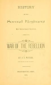
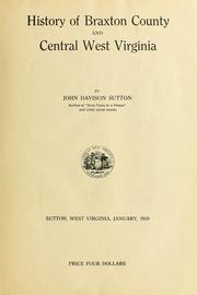
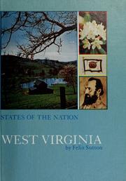
Search results from Open Library.
Recent natural events nearby
Ground air-quality sensors
Recently spotted species
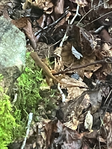







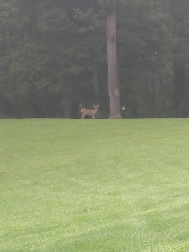
Research-grade observations from iNaturalist (within ~15 mi).
Nearest stream gauge
Events
Gallery
Sources
- • Wikipedia
- • US Census Bureau (ACS 5-year estimates)
- • Wikidata
- • USGS Earthquake Catalog (global feed)
- • GBIF (Global Biodiversity Information Facility)
- • iNaturalist
- • CDC PLACES
- • Open-Meteo / sunrise-sunset.org
- • Wikipedia Pageviews API
- • Open Library