Browse / United States / Wyoming / Casper
Casper
Wyomingcity

Casper
Total population
58,839
Median home value
$260,400
Bachelor's+
Median income
$70,218
Demographic figures from US Census Bureau · ACS 5-year estimates. Overview below cites Wikipedia and may reference a different year.
City facts
Facts from Wikidata (CC0).
Overview
Casper is a city in and the county seat of Natrona County, Wyoming, United States. It is the second-most populous city in the state after Cheyenne, with its population at 59,038 as of the 2020 census. Casper is nicknamed "The Oil City" and has a long history of oil boomtown and cowboy culture, dating back to the development of the nearby Salt Creek Oil Field.
Read more on WikipediaHistory & geography
History
The city was established east of the former site of Fort Caspar, in an area that grew for European settlers during the mid-19th century mass migration of land seekers along the Oregon, California, and Mormon trails, where several nearby ferries offered passage across the North Platte River in the early 1840s. In 1859, Louis Guinard built a bridge and trading post near the original ferry locations, allowing overland travel to continue through the area. The government also posted the military garrison to protect telegraph and mail service. It was under the command of Lieutenant Colonel William O. Collins. where homesteader Joshua Stroud lived prior to the actual construction of the train station for the Chicago and North Western Railway. The site was laid out by the Pioneer Town Site Company in 1888 and was known as Strouds, but the name Casper soon prevailed. While the name is derived from Fort Caspar and Lt. Caspar Collins, it is officially named "Casper" due to a typo occurring during the official registration. Casper was an early commercial rival to both Bessemer and Douglas, Wyoming. The absence of a railhead doomed Bessemer in favor of Casper, while Douglas, also a railhead, survives to the present day. This rail presence also made Casper the starting off point for the "invaders" in the Johnson County War, since the chartered train carrying the men from Texas stopped at Casper. In more recent history, the city received a significant influx of visitors during the solar eclipse of August 21, 2017, due to its position along the path of totality.
Geography
Interstate 25, which approaches Casper from the north and east, is the main avenue of transportation to and from the city. The towns immediately adjacent to Casper are Mills, Evansville, and Bar Nunn. Unincorporated areas include Allendale, Dempsey Acres, Red Buttes, Indian Springs, and several others. According to the United States Census Bureau, the city has a total area of , of which is land and is water. Casper, as with most of the rest of Wyoming, has a continental semi-arid climate (Köppen climate classification: BSk), with long, cold, but dry winters, hot but generally dry summers, mild springs, and short and crisp autumns. Normal daily maxima range from in January to in July. Snow can fall heavily during the winter and early to mid-spring months, and usually falls in May and October. Precipitation is greatest in spring and early summer, but even then it is not high. Highs reach on 37.8 days per year and fail to surpass freezing on 41.3. Lows drop to on an average of 14.6 nights annually. The highest temperature recorded in Casper was on July 12, 1954, July 16, 2005, and July 29, 2006, while the lowest temperature recorded was on December 22, 2022.
Excerpted from the corresponding Wikipedia article (CC BY-SA).
Demographics & economy
Race & ethnicity
Source: US Census Bureau — American Community Survey, 5-year estimates.
Geography
Coordinates & boundaries from the US Census TIGER/Line shapefiles.
Climate
Current forecast
Forecast for Casper, WY from NOAA NWS API.
Air quality
Industrial & pollution facilities
Natural hazard risk
Health (adults)
Age-adjusted prevalence estimates from CDC PLACES (latest release).
Walkability
Amenities nearby
Wildlife & biodiversity
Schools
Largest nearby schools
- Kelly Walsh High SchoolHigh · Casper · 2,051 students · 15.9:1 ratio
- Natrona County High SchoolHigh · Casper · 1,794 students · 15.3:1 ratio
- Centennial Middle SchoolMiddle · Casper · 796 students · 14.7:1 ratio
- C Y Middle SchoolMiddle · Casper · 795 students · 15.3:1 ratio
- Dean Morgan Middle SchoolMiddle · Casper · 711 students · 13.7:1 ratio
- Casper Classical AcademyMiddle · Casper · 466 students · 15:1 ratio
- Lincoln Elementary SchoolElementary · Casper · 459 students · 15.3:1 ratio
- Verda James ElementaryElementary · Casper · 444 students · 17.8:1 ratio
Public K–12 schools within ~10 mi from Urban Institute Education Data Portal (NCES Common Core of Data, 2022).
Earthquake history
Photos
Sights & places nearby
Notable people from here


People born within ~10 km, from Wikidata (CC0). Click any name for their Wikipedia article.
Nearby places in Wyoming
Geography & sun
Elevation, sunrise/sunset and daylight from Open-Meteo. Solar climatology from NASA POWER.
Nearby airports
Public attention
Pageview totals from the Wikimedia Pageviews API.
Books about Casper



Search results from Open Library.
Recent natural events nearby
- Wildfire Cold Springs, Converse, WyomingWildfires · 2026-08-10 · 43 mi
- Wildfire Moonshine, Albany, WyomingWildfires · 2026-09-07 · 80 mi
- Wildfire Montgomery Draw, Campbell, WyomingWildfires · 2026-08-06 · 108 mi
- Wildfire WEISER KNOLL, Fremont, WyomingWildfires · 2026-08-09 · 117 mi
- Wildfire PK, Sheridan, WyomingWildfires · 2026-10-09 · 139 mi
- Wildfire Harris, Rosebud, MontanaWildfires · 2026-08-09 · 163 mi
- Wildfire Davis Coulee, Big Horn, MontanaWildfires · 2026-09-14 · 197 mi
- Wildfire XU Hill, Oglala Lakota, South DakotaWildfires · 2026-08-11 · 203 mi
Wildfires, storms and other events from NASA EONET (last 12 months, within 250 mi).
Ground air-quality sensors
Recently spotted species
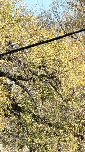
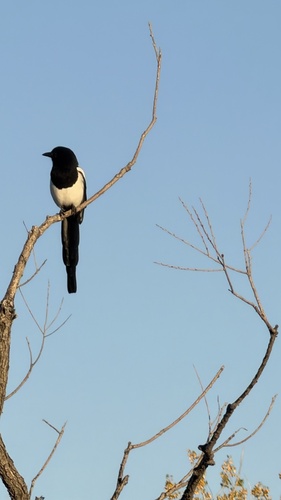
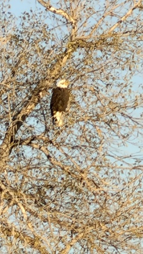
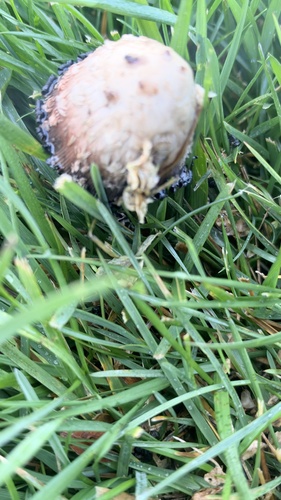
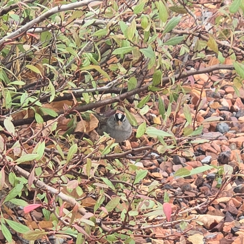
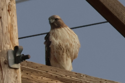
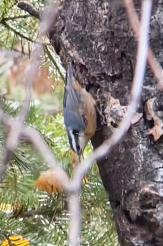
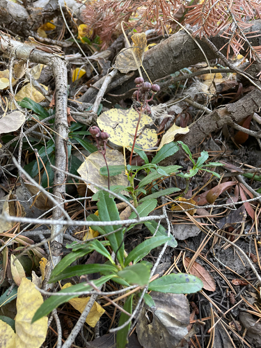
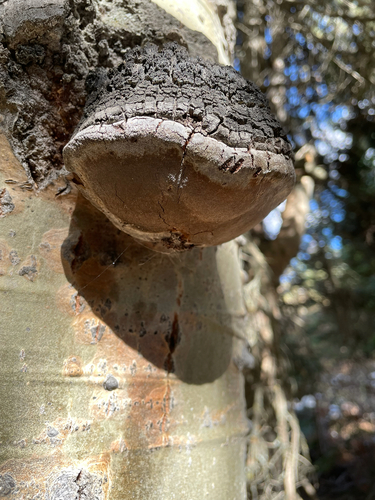
Research-grade observations from iNaturalist (within ~15 mi).
Nearest stream gauge
Live readings from USGS NWIS · measured 2026-10-05 13:45 UTC.
Events
Gallery
Sources
- • Wikipedia
- • US Census Bureau (ACS 5-year estimates)
- • NOAA National Weather Service
- • Wikidata
- • USGS NWIS (water data)
- • NCES via Urban Institute Education Data Portal
- • iNaturalist
- • CDC PLACES
- • Open-Meteo / sunrise-sunset.org
- • Wikipedia Pageviews API
- • Open Library
- • NASA EONET