Browse / United States / Wyoming / Fort Bridger
Fort Bridger
WyomingCDP

Fort Bridger
Total population
180
Median home value
$0
Bachelor's+
Median income
$0
Demographic figures from US Census Bureau · ACS 5-year estimates. Overview below cites Wikipedia and may reference a different year.
City facts
Facts from Wikidata (CC0).
Overview
Fort Bridger is a census-designated place (CDP) in eastern Uinta County, Wyoming, United States. The population was 354 at the 2020 census. The community takes its name from the eponymous Fort Bridger, established in 1842, which is located within the boundaries of the CDP.
Read more on WikipediaHistory & geography
History
Fort Bridger was established in 1843 by Jim Bridger and Louis Vasquez. It served as a trading post for those who were traveling westward along the Oregon Trail, as well as LDS Pioneers, the Pony Express, the Lincoln Highway, and the transcontinental railroad. The fort was also commonly used to trade with the local Native Americans. The fort was not very glamorous, it was even a disappointment to most travelers. It was simply two log cabins about in length connected by a fence to hold horses. Most visitors complained about insufficient supplies and it being overpriced. They did, however, have a blacksmith's shop that many travelers took advantage of. After 1857, Judge William A. Carter was given a 20 star American flag to fly over the fort. By 1858, Fort Bridger became a military outpost. Today, Fort Bridger is a historic site. Jim Bridger’s trading post is reconstructed, along with other historic buildings from the military. There is also a museum with gift shops available for visitors.
Geography
Fort Bridger is located at (41.318716, -110.386418). According to the United States Census Bureau, the CDP has a total area of 2.0 square miles (5.2 km2), all land.
Excerpted from the corresponding Wikipedia article (CC BY-SA).
Demographics & economy
Race & ethnicity
Source: US Census Bureau — American Community Survey, 5-year estimates.
Geography
Coordinates & boundaries from the US Census TIGER/Line shapefiles.
Climate
Current forecast
Forecast for Fort Bridger, WY from NOAA NWS API.
Air quality
Industrial & pollution facilities
Natural hazard risk
Health (adults)
Age-adjusted prevalence estimates from CDC PLACES (latest release).
Walkability
Amenities nearby
Wildlife & biodiversity
Most-observed species
- Black-billed MagpiePica hudsonia (Sabine, 1823) · Aves371
- Common RavenCorvus corax Linnaeus, 1758 · Aves289
- House SparrowPasser domesticus (Linnaeus, 1758) · Aves210
- European StarlingSturnus vulgaris Linnaeus, 1758 · Aves179
- Golden EagleAquila chrysaetos (Linnaeus, 1758) · Aves176
- Sandhill craneGrus canadensis (Linnaeus, 1758) · Aves166
- Eurasian Collared-DoveStreptopelia decaocto (Frivaldszky, 1838) · Aves155
- Brewer's BlackbirdEuphagus cyanocephalus (Wagler, 1829) · Aves148
Citizen-science & research observations from the Global Biodiversity Information Facility (GBIF).
Schools
Largest nearby schools
- Mountain View K-8Elementary · Mountain View · 504 students · 10.5:1 ratio
- Urie ElementaryElementary · Lyman · 247 students · 13:1 ratio
- Mountain View High SchoolHigh · Mountain View · 244 students · 12.8:1 ratio
- Lyman Intermediate SchoolMiddle · Lyman · 243 students · 14.3:1 ratio
- Lyman High SchoolHigh · Lyman · 235 students · 16.8:1 ratio
Public K–12 schools within ~10 mi from Urban Institute Education Data Portal (NCES Common Core of Data, 2022).
Earthquake history
Most recent
- M 3.39 — 2026-09-153 km NNW of Little America, Wyoming
- M 3.79 — 2026-09-1222 km NE of Granger, Wyoming
- M 3 — 2026-09-032 km NNW of Little America, Wyoming
- M 2.98 — 2026-08-283 km NW of Little America, Wyoming
- M 3.12 — 2026-08-212 km NNW of Little America, Wyoming
- M 3.29 — 2026-08-112 km NW of Little America, Wyoming
Events from the USGS Earthquake Catalog (global) (FDSN Event Web Service).
Photos
Sights & places nearby
Notable people from here

People born within ~10 km, from Wikidata (CC0). Click any name for their Wikipedia article.
Nearby places in Wyoming
Geography & sun
Elevation, sunrise/sunset and daylight from Open-Meteo. Solar climatology from NASA POWER.
Nearby airports
Public attention
Pageview totals from the Wikimedia Pageviews API.
Books about Fort Bridger
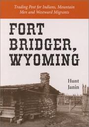
Search results from Open Library.
Recent natural events nearby
- Wildfire Rocky Canyon, Morgan, UtahWildfires · 2026-08-07 · 70 mi
- Prescribed Fire Bear River MBR Unit 2c RX, Box Elder, UtahWildfires · 2026-09-18 · 100 mi
- Wildfire Bare, Sublette, WyomingWildfires · 2026-08-04 · 100 mi
- Wildfire Johnson Canyon, Box Elder, UtahWildfires · 2026-08-01 · 106 mi
- Wildfire Brushy Canyon, Box Elder, UtahWildfires · 2026-08-27 · 109 mi
- Wildfire Salt Wells, Box Elder, UtahWildfires · 2026-08-21 · 123 mi
- Wildfire WEISER KNOLL, Fremont, WyomingWildfires · 2026-08-09 · 129 mi
- Wildfire Slough Canyon, Grand, UtahWildfires · 2026-08-15 · 137 mi
Wildfires, storms and other events from NASA EONET (last 12 months, within 250 mi).
Ground air-quality sensors
Recently spotted species
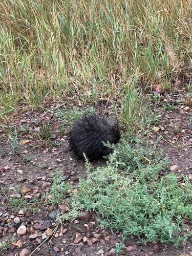
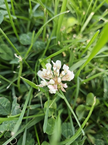
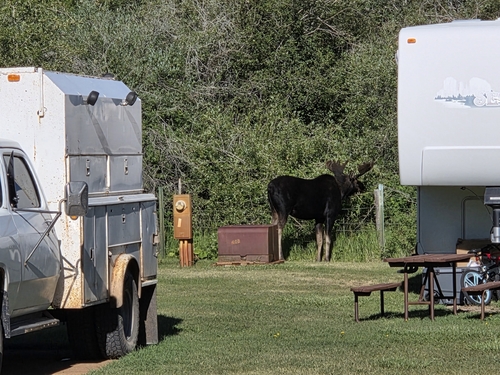
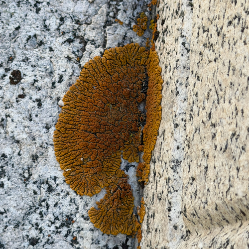
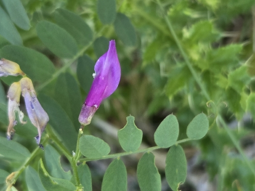
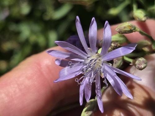
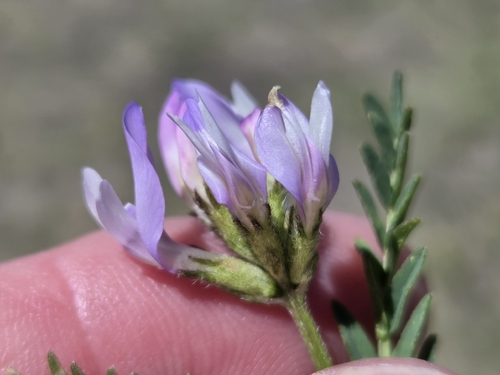
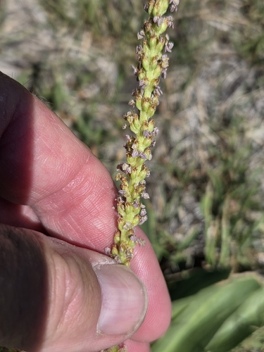
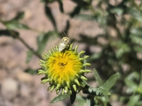
Research-grade observations from iNaturalist (within ~15 mi).
Nearest stream gauge
Live readings from USGS NWIS · measured 2026-09-18 04:00 UTC.
Events
Gallery
Sources
- • Wikipedia
- • US Census Bureau (ACS 5-year estimates)
- • NOAA National Weather Service
- • Wikidata
- • USGS Earthquake Catalog (global feed)
- • USGS NWIS (water data)
- • NCES via Urban Institute Education Data Portal
- • GBIF (Global Biodiversity Information Facility)
- • iNaturalist
- • CDC PLACES
- • Open-Meteo / sunrise-sunset.org
- • Wikipedia Pageviews API
- • Open Library
- • NASA EONET