Browse / United States / Wyoming / Fox Park
Fox Park
WyomingCDP

Fox Park
Total population
0
Median home value
$0
Median income
$0
Demographic figures from US Census Bureau · ACS 5-year estimates. Overview below cites Wikipedia and may reference a different year.
City facts
Facts from Wikidata (CC0).
Overview
Fox Park is a census-designated place (CDP) in Albany County, Wyoming, United States. The population was 22 at the 2010 census.
Read more on WikipediaHistory & geography
Geography
According to the United States Census Bureau, the CDP has a total area of 1.0 square mile (28.5 km), all land. The CDP is located entirely within the Medicine Bow National Forest. Fox Park experiences a subarctic climate (Köppen climate classification Dfc) due to its elevation. Winters are long and cold, with highs usually remaining at or below freezing, and lows often dropping below zero. Summers are refreshingly warm, but with lows still dropping to freezing. Snowfall is very heavy, averaging 180 inches per year, mostly falling between October and May, but snow during the months of September and June is not rare, and usually happens every couple of years. Usually no month of the year is frost free. Fox Park is the highest community in the state of Wyoming, at an elevation of 9,062 ft, as well as one of the coldest settlements.
Excerpted from the corresponding Wikipedia article (CC BY-SA).
Demographics & economy
Source: US Census Bureau — American Community Survey, 5-year estimates.
Geography
Coordinates & boundaries from the US Census TIGER/Line shapefiles.
Climate
Air quality
Industrial & pollution facilities
Natural hazard risk
Health (adults)
Walkability
Amenities nearby
Wildlife & biodiversity
Most-observed species
- American RobinTurdus migratorius Linnaeus, 1766 · Aves277
- Black-billed MagpiePica hudsonia (Sabine, 1823) · Aves260
- Common RavenCorvus corax Linnaeus, 1758 · Aves237
- Northern FlickerColaptes auratus (Linnaeus, 1758) · Aves217
- Mountain ChickadeePoecile gambeli (Ridgway, 1886) · Aves176
- Canada Goose (canadensis Group)Branta canadensis (Linnaeus, 1758) · Aves149
- Bald EagleHaliaeetus leucocephalus (Linnaeus, 1766) · Aves143
- MallardAnas platyrhynchos Linnaeus, 1758 · Aves136
Citizen-science & research observations from the Global Biodiversity Information Facility (GBIF).
Schools
Earthquake history
Most recent
- M 2.7 — 2025-11-3015 km SSW of Walden, Colorado
- M 3.4 — 2024-09-149 km SSE of Saratoga, Wyoming
- M 3.1 — 2024-09-0221 km NW of Steamboat Springs, Colorado
- M 3.3 — 2023-06-038 km SSE of Saratoga, Wyoming
- M 3.6 — 2023-06-029 km SSE of Saratoga, Wyoming
- M 2.5 — 2023-04-293 km NE of Saratoga, Wyoming
Events from the USGS Earthquake Catalog (global) (FDSN Event Web Service).
Photos
Sights & places nearby
Notable people from here
Geography & sun
Nearby airports
Public attention
Books about this place
Recent natural events nearby
- Wildfire Moonshine, Albany, WyomingWildfires · 2026-09-07 · 74 mi
- Wildfire Cold Springs, Converse, WyomingWildfires · 2026-08-10 · 119 mi
- Wildfire 310, Garfield, ColoradoWildfires · 2026-08-06 · 149 mi
- Wildfire WEISER KNOLL, Fremont, WyomingWildfires · 2026-08-09 · 166 mi
- Wildfire Montgomery Draw, Campbell, WyomingWildfires · 2026-08-06 · 228 mi
- Wildfire Slough Canyon, Grand, UtahWildfires · 2026-08-15 · 231 mi
- Wildfire Rancher fire, Oglala Lakota, South DakotaWildfires · 2026-08-11 · 249 mi
- Wildfire Needles, Oglala Lakota, South DakotaWildfires · 2026-09-04 · 250 mi
Wildfires, storms and other events from NASA EONET (last 12 months, within 250 mi).
Ground air-quality sensors
Recently spotted species
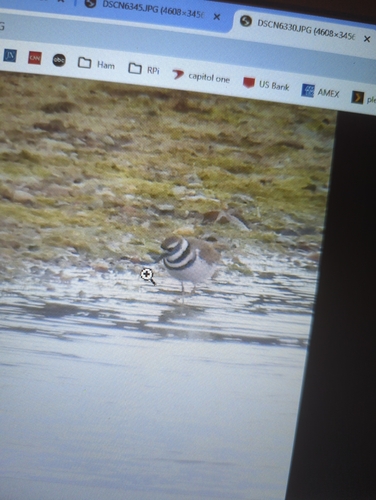
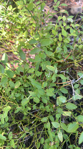
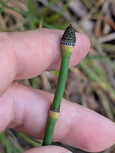
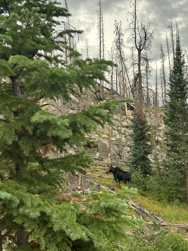
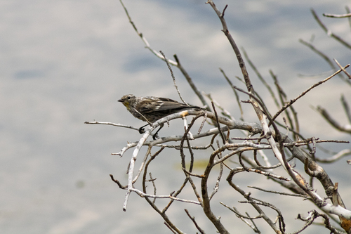
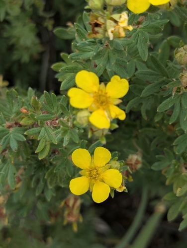
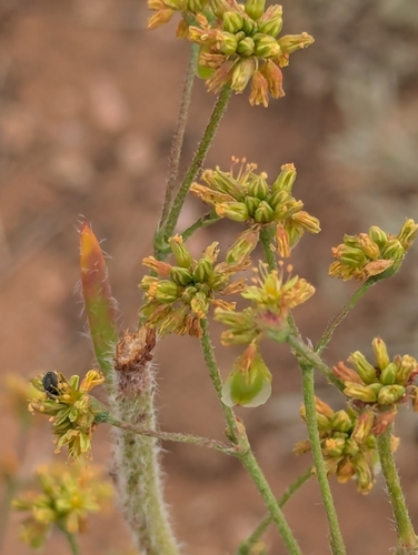
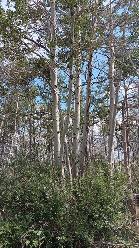
Research-grade observations from iNaturalist (within ~15 mi).
Nearest stream gauge
Events
Gallery
Sources
- • Wikipedia
- • US Census Bureau (ACS 5-year estimates)
- • Wikidata
- • USGS Earthquake Catalog (global feed)
- • GBIF (Global Biodiversity Information Facility)
- • iNaturalist
- • NASA EONET