Browse / United States / Wyoming / Medicine Bow
Medicine Bow
Wyomingtown

Medicine Bow
Total population
442
Median home value
$74,600
Bachelor's+
Median income
$72,500
Demographic figures from US Census Bureau · ACS 5-year estimates. Overview below cites Wikipedia and may reference a different year.
- Red Flag Warning · SevereRed Flag Warning issued October 4 at 11:31PM MDT until October 5 at 6:00PM MDT by NWS Cheyenne WY
Source: NOAA National Weather Service.
City facts
Facts from Wikidata (CC0).
Overview
Medicine Bow is a town in Carbon County, Wyoming, United States. As of the 2020 census, Medicine Bow had a population of 245.
Read more on WikipediaHistory & geography
History
The community largely owes its existence to the first transcontinental railroad, built through the area in 1868. A post office called Medicine Bow has been in operation since 1869. The community was named after the Medicine Bow River. Dippy, a well-known dinosaur skeleton, was found in a quarry nearby around 1898. In 1899, fossil hunters for the American Museum of Natural History and the Field Museum stayed in or near the town during their search for large dinosaur skeletons. The town had a railroad and was near the fossiliferous sedimentary hills from the Jurassic Morrison Formation, making it an important stopping location for paleontologists, with fossils of Diplodocus and Brontosaurus found nearby at Como Bluff by the two institutions during the late 19th and early 20th centuries. In the 1910s, part of the Lincoln Highway was routed through Medicine Bow. That highway, now U.S. Route 30, was the main route through southern Wyoming until Interstate 80 replaced it in 1970.
Geography
According to the United States Census Bureau, the town has a total area of , all land.
Excerpted from the corresponding Wikipedia article (CC BY-SA).
Demographics & economy
Race & ethnicity
Source: US Census Bureau — American Community Survey, 5-year estimates.
Geography
Coordinates & boundaries from the US Census TIGER/Line shapefiles.
Climate
Current forecast
Forecast for Medicine Bow, WY from NOAA NWS API.
Air quality
Industrial & pollution facilities
Natural hazard risk
Health (adults)
Walkability
Amenities nearby
Wildlife & biodiversity
Most-observed species
- Golden EagleAquila chrysaetos (Linnaeus, 1758) · Aves104
- Bald EagleHaliaeetus leucocephalus (Linnaeus, 1766) · Aves61
- Horned LarkEremophila alpestris (Linnaeus, 1758) · Aves44
- Common RavenCorvus corax Linnaeus, 1758 · Aves39
- Ferruginous HawkButeo regalis (G.R.Gray, 1844) · Aves29
- Red-winged BlackbirdAgelaius phoeniceus (Linnaeus, 1766) · Aves29
- KilldeerCharadrius vociferus Linnaeus, 1758 · Aves28
- MallardAnas platyrhynchos Linnaeus, 1758 · Aves28
Citizen-science & research observations from the Global Biodiversity Information Facility (GBIF).
Schools
Earthquake history
Most recent
- M 3.4 — 2024-09-149 km SSE of Saratoga, Wyoming
- M 3.3 — 2023-06-038 km SSE of Saratoga, Wyoming
- M 3.6 — 2023-06-029 km SSE of Saratoga, Wyoming
- M 2.5 — 2023-04-293 km NE of Saratoga, Wyoming
- M 2.8 — 2022-09-2620 km WNW of Encampment, Wyoming
- M 3.3 — 2022-08-2627 km E of Bairoil, Wyoming
Events from the USGS Earthquake Catalog (global) (FDSN Event Web Service).
Photos
Sights & places nearby
Notable people from here
Nearby places in Wyoming
- Rock River16.5 mi away · pop. 219
- Elk Mountain18.2 mi away · pop. 99
- Hanna18.5 mi away · pop. 789
- Arlington20.3 mi away · pop. 29
- Centennial41.1 mi away · pop. 521
- Ryan Park43.2 mi away · pop. 13
- Saratoga44.1 mi away · pop. 1,740
- Sinclair48 mi away · pop. 362
- Albany49.4 mi away
- Laramie51.2 mi away · pop. 32,234
- Alcova52.6 mi away · pop. 99
- Rawlins53.2 mi away · pop. 8,129
Geography & sun
Elevation, sunrise/sunset and daylight from Open-Meteo. Solar climatology from NASA POWER.
Nearby airports
Public attention
Pageview totals from the Wikimedia Pageviews API.
Books about Medicine Bow

Search results from Open Library.
Recent natural events nearby
- Wildfire Moonshine, Albany, WyomingWildfires · 2026-09-07 · 45 mi
- Wildfire Cold Springs, Converse, WyomingWildfires · 2026-08-10 · 68 mi
- Wildfire WEISER KNOLL, Fremont, WyomingWildfires · 2026-08-09 · 133 mi
- Wildfire Montgomery Draw, Campbell, WyomingWildfires · 2026-08-06 · 171 mi
- Wildfire 310, Garfield, ColoradoWildfires · 2026-08-06 · 194 mi
- Wildfire Lumin, Sheridan, WyomingWildfires · 2026-07-31 · 202 mi
- Wildfire Needles, Oglala Lakota, South DakotaWildfires · 2026-09-04 · 220 mi
- Wildfire Rancher fire, Oglala Lakota, South DakotaWildfires · 2026-08-11 · 220 mi
Wildfires, storms and other events from NASA EONET (last 12 months, within 250 mi).
Ground air-quality sensors
Recently spotted species
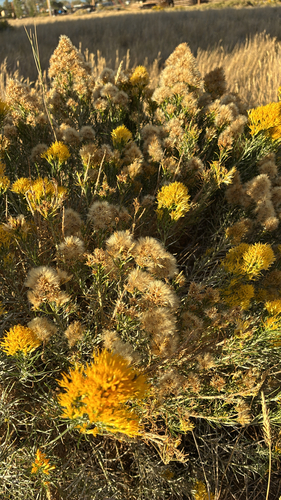
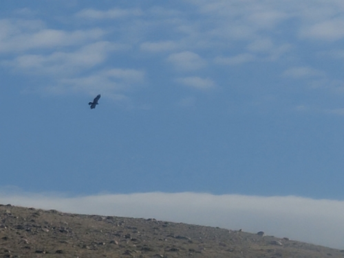
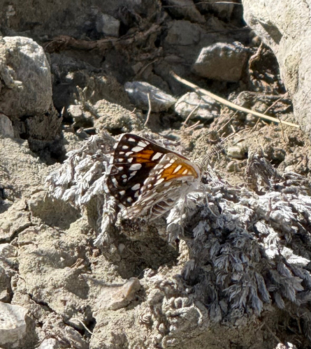
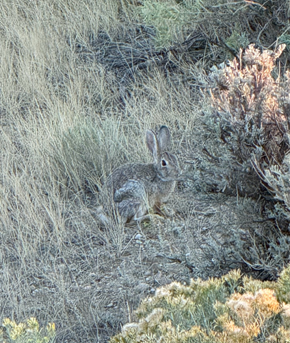
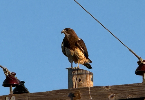
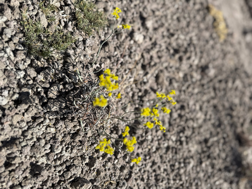
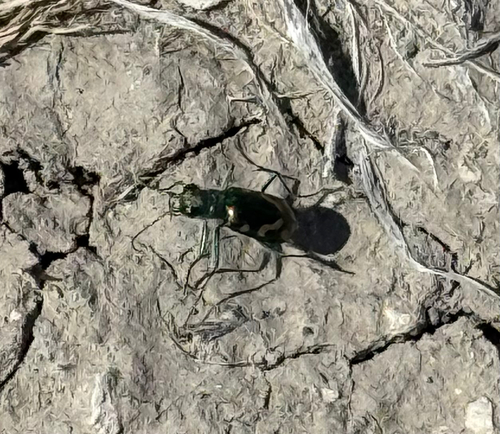
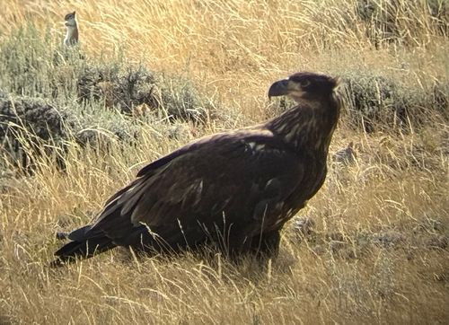
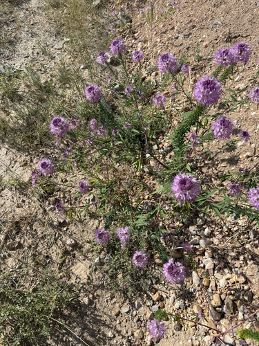
Research-grade observations from iNaturalist (within ~15 mi).
Nearest stream gauge
Events
Gallery
Sources
- • Wikipedia
- • US Census Bureau (ACS 5-year estimates)
- • NOAA National Weather Service
- • Wikidata
- • USGS Earthquake Catalog (global feed)
- • GBIF (Global Biodiversity Information Facility)
- • iNaturalist
- • Open-Meteo / sunrise-sunset.org
- • Wikipedia Pageviews API
- • Open Library
- • NASA EONET