Browse / United States / Wyoming / Rock Springs
Rock Springs
Wyomingcity

Rock Springs
Total population
23,127
Median home value
$256,200
Bachelor's+
Median income
$69,168
Founded
1888
Demographic figures from US Census Bureau · ACS 5-year estimates. Overview below cites Wikipedia and may reference a different year.
- Red Flag Warning · SevereRed Flag Warning issued October 5 at 5:28AM MDT until October 5 at 6:00PM MDT by NWS Riverton WY
Source: NOAA National Weather Service.
City facts
Sister cities
Facts from Wikidata (CC0).
Overview
Rock Springs is a city in Sweetwater County, Wyoming, United States. The population was 23,526 at the 2020 census, making it the fifth-most populous city in the U.S. state of Wyoming, and the most populous city in Sweetwater County. Rock Springs is the principal city of the Rock Springs micropolitan statistical area, which has a population of 37,975.
Read more on WikipediaHistory & geography
History
Rock Springs derives its name from a rock spring which flowed in the Number 6 district in the northern part of town. An account said that the spring was found by a lost Pony Express rider, but the spring station was known to Jim Bridger before 1860; the Overland Stage station was located nearby. The spring disappeared when the coal mine operations interrupted the underground flow. In the early days, Ed Cleg hauled domestic water from the sulfur spring north of Rock Springs and charged $.25 a barrel. With the mining operations, the water flow was interrupted and water was hauled from Green River and Point of Rocks. Beginning in 1887, a water main was started from the Green River and completed in 1888 to bring a continuous supply of water to Rock Springs. Rock Springs has a multi-ethnic heritage; locals called it the 57 Variety Town. The first immigrants were brought in by the railroad and coal mining companies. The Welsh and British people were initially most populous. Later, Irish, Black people, and refugees from the Southern part of the United States also came. The Scandinavian people were represented with a heavy Mormon recruitment. One of the worst incidents of anti-immigrant violence in American history, known as the Rock Springs massacre, occurred on September 2, 1885, when White miners slaughtered their Chinese counterparts due to anti-Chinese sentiment. There are still remains of the old coal mining towns outside of Rock Springs. On June 10, 1892, Rock Springs National Bank opened on 515 S Main St, across from the Union Pacific depot. The original sandstone building was designed by Mayor H.H. Edgar who chose an Italianate style. In 1907, when John Hay Sr. assumed control of the business, the location moved to C Street. RSNB owned the original building until…
Geography
According to the United States Census Bureau, the city has a total area of , all land. Rock Springs has a semi-arid climate (Köppen BSk) with cold, snowy winters and warm summers. Precipitation is usually light but has two peaks in mid spring and in early fall. Summer and winter are both drier. The average December temperatures are a maximum of and a minimum of . The average July temperatures are a maximum of and a minimum of . There an average of 14.7 days annually with highs of or higher. There are an average of 183.6 nights with lows of or lower and 11.5 nights with lows of or lower. The record high temperature was on July 13, 2002, and the record low temperature was on January 12, 1963. The average annual precipitation is . There is an average of 61.7 days with measurable precipitation. The wettest calendar year was 1965 with and the driest 2012 with . The most precipitation in one month was in September 1965, July 1973, and May 1995. The most snowfall in one year was in 1995. The most snowfall in one month was in February 2001.
Excerpted from the corresponding Wikipedia article (CC BY-SA).
Demographics & economy
Race & ethnicity
Source: US Census Bureau — American Community Survey, 5-year estimates.
Geography
Coordinates & boundaries from the US Census TIGER/Line shapefiles.
Climate
Current forecast
Forecast for Rock Springs, WY from NOAA NWS API.
Air quality
Industrial & pollution facilities
Natural hazard risk
Health (adults)
Age-adjusted prevalence estimates from CDC PLACES (latest release).
Walkability
Amenities nearby
Wildlife & biodiversity
Most-observed species
- House SparrowPasser domesticus (Linnaeus, 1758) · Aves835
- Eurasian Collared-DoveStreptopelia decaocto (Frivaldszky, 1838) · Aves749
- American RobinTurdus migratorius Linnaeus, 1766 · Aves546
- European StarlingSturnus vulgaris Linnaeus, 1758 · Aves538
- House FinchHaemorhous mexicanus (P.L.Statius Müller, 1776) · Aves480
- Rock PigeonColumba livia J.F.Gmelin, 1789 · Aves433
- Common RavenCorvus corax Linnaeus, 1758 · Aves279
- Black-billed MagpiePica hudsonia (Sabine, 1823) · Aves251
Citizen-science & research observations from the Global Biodiversity Information Facility (GBIF).
Schools
Largest nearby schools
- Rock Springs High SchoolHigh · Rock Springs · 1,502 students · 17.3:1 ratio
- Rock Springs Junior HighMiddle · Rock Springs · 769 students · 17.1:1 ratio
- Pilot Butte ElementaryMiddle · Rock Springs · 586 students · 16.7:1 ratio
- Eastside ElementaryMiddle · Rock Springs · 525 students · 15.9:1 ratio
- Stagecoach ElementaryElementary · Rock Springs · 433 students · 12.4:1 ratio
- Sage ElementaryElementary · Rock Springs · 384 students · 12:1 ratio
- Walnut ElementaryElementary · Rock Springs · 212 students · 12.5:1 ratio
- Desert View ElementaryElementary · Rock Springs · 197 students · 9.8:1 ratio
Public K–12 schools within ~10 mi from Urban Institute Education Data Portal (NCES Common Core of Data, 2022).
Earthquake history
Most recent
- M 3.39 — 2026-09-153 km NNW of Little America, Wyoming
- M 3.79 — 2026-09-1222 km NE of Granger, Wyoming
- M 3 — 2026-09-032 km NNW of Little America, Wyoming
- M 2.98 — 2026-08-283 km NW of Little America, Wyoming
- M 3.12 — 2026-08-212 km NNW of Little America, Wyoming
- M 3.29 — 2026-08-112 km NW of Little America, Wyoming
Events from the USGS Earthquake Catalog (global) (FDSN Event Web Service).
Photos
Sights & places nearby
Notable people from here
Nearby places in Wyoming
- Clearview Acres3.1 mi away · pop. 273
- Reliance5.2 mi away · pop. 572
- Purple Sage5.9 mi away
- North Rock Springs6.2 mi away · pop. 2,277
- Arrowhead Springs6.9 mi away · pop. 43
- Green River14.1 mi away
- James Town16.4 mi away · pop. 431
- Superior17.5 mi away
- Point of Rocks23.8 mi away · pop. 9
- Eden34.1 mi away · pop. 472
- Little America34.5 mi away
- Granger38.5 mi away
Geography & sun
Elevation, sunrise/sunset and daylight from Open-Meteo. Solar climatology from NASA POWER.
Nearby airports
Public attention
Pageview totals from the Wikimedia Pageviews API.
Books about Rock Springs


Search results from Open Library.
Recent natural events nearby
- Wildfire WEISER KNOLL, Fremont, WyomingWildfires · 2026-08-09 · 79 mi
- Wildfire Bare, Sublette, WyomingWildfires · 2026-08-04 · 103 mi
- Wildfire Rocky Canyon, Morgan, UtahWildfires · 2026-08-07 · 134 mi
- Wildfire Slough Canyon, Grand, UtahWildfires · 2026-08-15 · 158 mi
- Prescribed Fire Bear River MBR Unit 2c RX, Box Elder, UtahWildfires · 2026-09-18 · 160 mi
- Wildfire Johnson Canyon, Box Elder, UtahWildfires · 2026-08-01 · 160 mi
- Wildfire 310, Garfield, ColoradoWildfires · 2026-08-06 · 162 mi
- Wildfire Brushy Canyon, Box Elder, UtahWildfires · 2026-08-27 · 170 mi
Wildfires, storms and other events from NASA EONET (last 12 months, within 250 mi).
Ground air-quality sensors
Recently spotted species
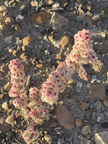
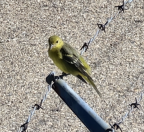

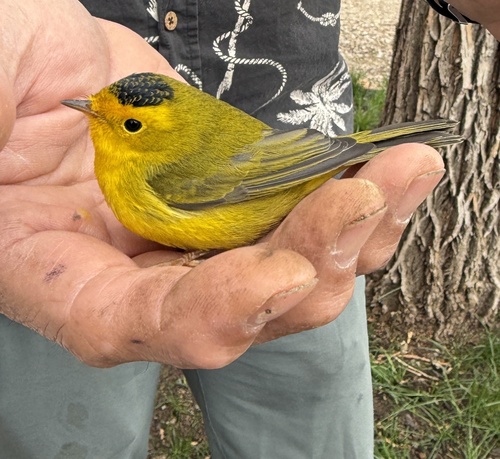
Research-grade observations from iNaturalist (within ~15 mi).
Nearest stream gauge
Events
Gallery
Sources
- • Wikipedia
- • US Census Bureau (ACS 5-year estimates)
- • NOAA National Weather Service
- • Wikidata
- • USGS Earthquake Catalog (global feed)
- • NCES via Urban Institute Education Data Portal
- • GBIF (Global Biodiversity Information Facility)
- • iNaturalist
- • CDC PLACES
- • Open-Meteo / sunrise-sunset.org
- • Wikipedia Pageviews API
- • Open Library
- • NASA EONET