Browse / United States / Wyoming / Ten Sleep
Ten Sleep
Wyomingtown

Ten Sleep
Total population
239
Median home value
$255,000
Bachelor's+
Median income
$46,875
Demographic figures from US Census Bureau · ACS 5-year estimates. Overview below cites Wikipedia and may reference a different year.
City facts
Facts from Wikidata (CC0).
Overview
Ten Sleep is a town in Washakie County, Wyoming, United States. It is located in the Bighorn Basin in the western foothills of the Bighorn Mountains, approximately 26 miles (42 km) east of Worland and 59 miles (95 km) west of Buffalo.
Read more on WikipediaHistory & geography
History
Ten Sleep was an American Indian rest stop, so called because it was 10 days' travel, or “10 sleeps,” from Fort Laramie (southeast), Yellowstone National Park (west-northwest), and the Indian Agency on the Stillwater River in Montana (northwest). The archeological sites in the area feature artifacts such as arrowheads, pictographs and petroglyphs. Ten Sleep was also the site of the Spring Creek Raid, one of the last feuds of the West's Sheep and Cattlemen's War. It was there in March 1909 that cattlemen attacked sheep herders and their flock, killing three men and shooting hundreds of the sheep. The region contains fossil specimens of dinosaurs, plants and sea-life. One such local area, Big Cedar Ridge, is open to the public for exploration and collection for personal use. The Tensleep Formation is the yellowish-gray to white sandstone which features in much of Ten Sleep Canyon. Formed during the Pennsylvanian geological period, it features in the western slope of the Bighorn Mountains. Red sandstone such as Signal Cliff west of Ten Sleep, as well as the dirt hills of Bighorn's western slope compose the Chugwater Formation from the Triassic period. Above Chugwater is the marine Jurassic Sundance Formation and the terrestrial Late Jurassic Morrison Formation with dinosaurs. Called the "Painted Desert" or "Colored Hills" by locals, the Cloverly Formation is finely granulated sandstone and clay. The multicolor Cloverly formations are closely associated with strata containing dinosaur fossils. Numerous signs along U.S. 16 from Buffalo, through Ten Sleep and west to Worland identify the various geologic formations and their millennia.
Geography
According to the United States Census Bureau, the town has a total area of , all land. According to the Köppen Climate Classification system, Ten Sleep has a hot-summer humid continental climate, abbreviated "Dfa" on climate maps. The hottest temperature recorded in Ten Sleep was on July 13, 2005, while the coldest temperature recorded was on December 22, 1990. |source 2 = National Weather Service }}
Excerpted from the corresponding Wikipedia article (CC BY-SA).
Demographics & economy
Race & ethnicity
Source: US Census Bureau — American Community Survey, 5-year estimates.
Geography
Coordinates & boundaries from the US Census TIGER/Line shapefiles.
Climate
Current forecast
Forecast for Ten Sleep, WY from NOAA NWS API.
Air quality
Industrial & pollution facilities
Natural hazard risk
Health (adults)
Age-adjusted prevalence estimates from CDC PLACES (latest release).
Walkability
Amenities nearby
Wildlife & biodiversity
Schools
Largest nearby schools
- Ten Sleep K-12Other · Ten Sleep · 105 students · 7.5:1 ratio
Public K–12 schools within ~10 mi from Urban Institute Education Data Portal (NCES Common Core of Data, 2022).
Earthquake history
Photos
Sights & places nearby
Notable people from here

People born within ~10 km, from Wikidata (CC0). Click any name for their Wikipedia article.
Nearby places in Wyoming
- Hyattville17 mi away · pop. 47
- Worland25.5 mi away
- Manderson30.3 mi away · pop. 113
- Basin38.1 mi away · pop. 1,290
- Shell38.3 mi away · pop. 36
- Kirby39.8 mi away · pop. 60
- Buffalo41.9 mi away · pop. 4,572
- Lucerne42.7 mi away · pop. 567
- Greybull43.3 mi away · pop. 2,091
- Story45.6 mi away · pop. 1,054
- East Thermopolis46.1 mi away · pop. 192
- Kaycee46.2 mi away
Geography & sun
Elevation, sunrise/sunset and daylight from Open-Meteo. Solar climatology from NASA POWER.
Nearby airports
Public attention
Pageview totals from the Wikimedia Pageviews API.
Books about Ten Sleep
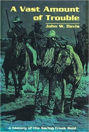
Search results from Open Library.
Recent natural events nearby
- Wildfire Lumin, Sheridan, WyomingWildfires · 2026-07-31 · 75 mi
- Wildfire Montgomery Draw, Campbell, WyomingWildfires · 2026-08-06 · 82 mi
- Wildfire Harris, Rosebud, MontanaWildfires · 2026-08-09 · 90 mi
- Wildfire Davis Coulee, Big Horn, MontanaWildfires · 2026-09-14 · 104 mi
- Wildfire WEISER KNOLL, Fremont, WyomingWildfires · 2026-08-09 · 113 mi
- Wildfire Sarpy, Big Horn, MontanaWildfires · 2026-08-17 · 116 mi
- Wildfire Cold Springs, Converse, WyomingWildfires · 2026-08-10 · 134 mi
- Wildfire Windmill, Stillwater, MontanaWildfires · 2026-08-19 · 161 mi
Wildfires, storms and other events from NASA EONET (last 12 months, within 250 mi).
Ground air-quality sensors
Recently spotted species
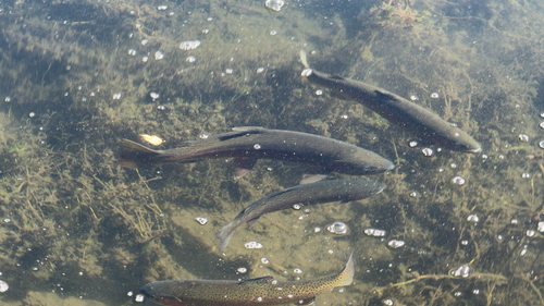
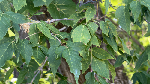
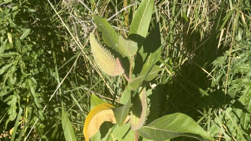
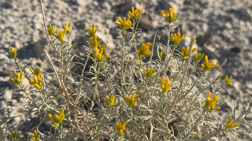
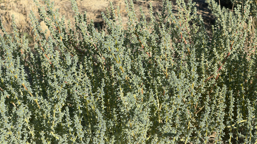
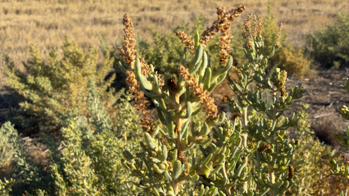
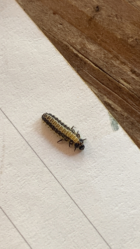
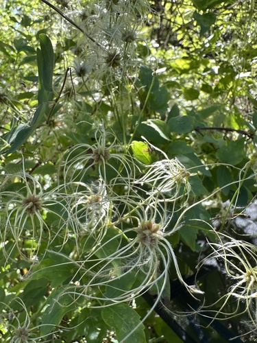
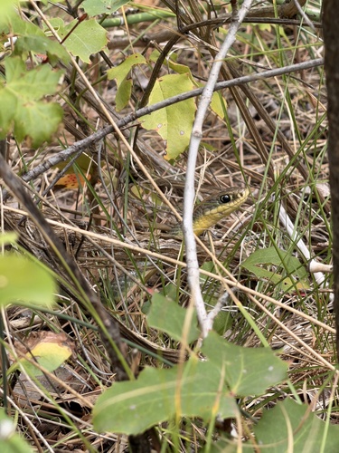
Research-grade observations from iNaturalist (within ~15 mi).
Nearest stream gauge
Events
Gallery
Sources
- • Wikipedia
- • US Census Bureau (ACS 5-year estimates)
- • NOAA National Weather Service
- • Wikidata
- • NCES via Urban Institute Education Data Portal
- • iNaturalist
- • CDC PLACES
- • Open-Meteo / sunrise-sunset.org
- • Wikipedia Pageviews API
- • Open Library
- • NASA EONET