Browse / United States / Wyoming / Wamsutter
Wamsutter
Wyomingtown

Wamsutter
Total population
269
Median home value
$98,700
Bachelor's+
Median income
$57,298
Demographic figures from US Census Bureau · ACS 5-year estimates. Overview below cites Wikipedia and may reference a different year.
City facts
Facts from Wikidata (CC0).
Overview
Wamsutter is a town in Sweetwater County, Wyoming, United States. The population was 203 at the 2020 census.
Read more on WikipediaHistory & geography
History
The town was founded in 1868 as a vital service stop for the Union Pacific Railroad. During the construction of the Transcontinental railroad, steam locomotives required regular stops for water and coal, and Wamsutter provided an essential oasis in the water-scarce Red Desert. Initially, the settlement was named Washakie, in honor of the prominent Shoshone Chief Washakie. However, this caused significant logistical confusion for the railroad and the government, as freight intended for the nearby Fort Washakie was often misdirected to the rail stop. To resolve this, the town was renamed Wamsutter in 1884. Wamsutter was incorporated in 1914. In the latter half of the 20th century, Wamsutter’s economy shifted toward resource extraction. Natural gas was discovered in the Wamsutter Arch in 1946, with major reserves found at Desert Springs in 1958. This sparked several boom-and-bust cycles. By the early 2000s, the "Wamsutter Field" became one of the largest tight gas reservoirs in Wyoming, attracting major energy companies and causing the population to peak at 451 in 2010 before declining again during industry downturns. The town was a stop on the Lincoln highway, U.S. Route 30, largely superseded by Interstate 80.
Geography
Wamsutter is located at (41.670839, –107.977457). According to the United States Census Bureau, the town has a total area of , all land.
Excerpted from the corresponding Wikipedia article (CC BY-SA).
Demographics & economy
Race & ethnicity
Source: US Census Bureau — American Community Survey, 5-year estimates.
Geography
Coordinates & boundaries from the US Census TIGER/Line shapefiles.
Climate
Current forecast
Forecast for Wamsutter, WY from NOAA NWS API.
Air quality
Industrial & pollution facilities
Natural hazard risk
Health (adults)
Walkability
Amenities nearby
Wildlife & biodiversity
Most-observed species
- Common RavenCorvus corax Linnaeus, 1758 · Aves103
- Horned LarkEremophila alpestris (Linnaeus, 1758) · Aves35
- Mourning DoveZenaida macroura (Linnaeus, 1758) · Aves27
- Ferruginous HawkButeo regalis (G.R.Gray, 1844) · Aves26
- Sage ThrasherOreoscoptes montanus (J.K.Townsend, 1837) · Aves26
- Golden EagleAquila chrysaetos (Linnaeus, 1758) · Aves23
- Loggerhead ShrikeLanius ludovicianus Linnaeus, 1766 · Aves17
- Brewer's BlackbirdEuphagus cyanocephalus (Wagler, 1829) · Aves16
Citizen-science & research observations from the Global Biodiversity Information Facility (GBIF).
Schools
Earthquake history
Most recent
- M 2.9 — 2026-09-245 km NNE of Point of Rocks, Wyoming
- M 3.1 — 2025-11-1110 km NNE of Point of Rocks, Wyoming
- M 2.7 — 2025-05-0832 km E of Atlantic City, Wyoming
- M 3 — 2024-02-179 km E of Point of Rocks, Wyoming
- M 3.2 — 2024-02-0212 km ENE of Point of Rocks, Wyoming
- M 3.1 — 2024-01-3013 km NNE of Point of Rocks, Wyoming
Events from the USGS Earthquake Catalog (global) (FDSN Event Web Service).
Photos
Sights & places nearby
Notable people from here
People born within ~10 km, from Wikidata (CC0). Click any name for their Wikipedia article.
Nearby places in Wyoming
- Table Rock22.2 mi away
- Rawlins39.7 mi away · pop. 8,129
- Point of Rocks41.1 mi away · pop. 9
- Bairoil44.8 mi away · pop. 149
- Sinclair44.9 mi away · pop. 362
- Baggs46.8 mi away · pop. 443
- Dixon49.4 mi away · pop. 267
- Superior51.2 mi away · pop. 177
- Jeffrey City56.8 mi away
- Arrowhead Springs61.8 mi away · pop. 43
- Saratoga62.2 mi away · pop. 1,740
- Reliance62.9 mi away · pop. 572
Geography & sun
Elevation, sunrise/sunset and daylight from Open-Meteo. Solar climatology from NASA POWER.
Nearby airports
Public attention
Pageview totals from the Wikimedia Pageviews API.
Books about Wamsutter


Search results from Open Library.
Recent natural events nearby
- Wildfire WEISER KNOLL, Fremont, WyomingWildfires · 2026-08-09 · 74 mi
- Wildfire Moonshine, Albany, WyomingWildfires · 2026-09-07 · 138 mi
- Wildfire Cold Springs, Converse, WyomingWildfires · 2026-08-10 · 147 mi
- Wildfire Bare, Sublette, WyomingWildfires · 2026-08-04 · 149 mi
- Wildfire 310, Garfield, ColoradoWildfires · 2026-08-06 · 154 mi
- Wildfire Slough Canyon, Grand, UtahWildfires · 2026-08-15 · 189 mi
- Wildfire Rocky Canyon, Morgan, UtahWildfires · 2026-08-07 · 197 mi
- Wildfire Montgomery Draw, Campbell, WyomingWildfires · 2026-08-06 · 215 mi
Wildfires, storms and other events from NASA EONET (last 12 months, within 250 mi).
Ground air-quality sensors
Recently spotted species
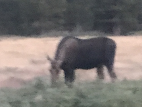
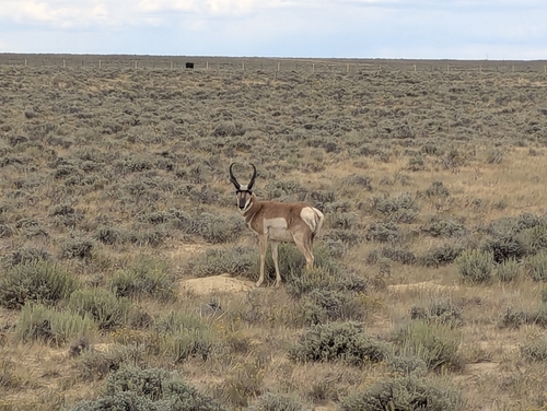
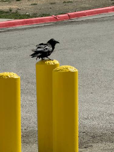
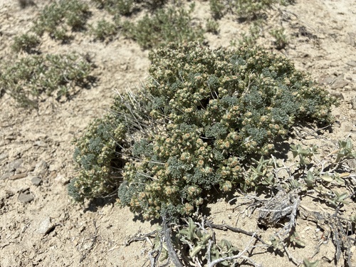
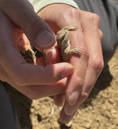
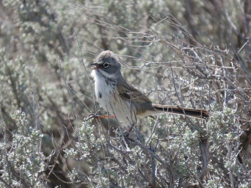
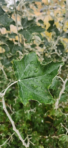
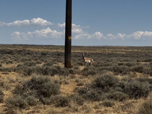
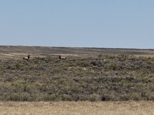
Research-grade observations from iNaturalist (within ~15 mi).
Nearest stream gauge
Events
Gallery
Sources
- • Wikipedia
- • US Census Bureau (ACS 5-year estimates)
- • NOAA National Weather Service
- • Wikidata
- • USGS Earthquake Catalog (global feed)
- • GBIF (Global Biodiversity Information Facility)
- • iNaturalist
- • Open-Meteo / sunrise-sunset.org
- • Wikipedia Pageviews API
- • Open Library
- • NASA EONET