Browse / South Africa / Western Cape / Baardskeerdersbos
Baardskeerdersbos
Western Capevillage

Baardskeerdersbos
Total population
103
Demographic figures from Statistics South Africa. Overview below cites Wikipedia and may reference a different year.
City facts
Facts from Wikidata (CC0).
Overview
Baardskeerdersbos, also Baardscheerders Bosch in Dutch and locally known as B'bos, is a village in the Overberg region of the Western Cape province of South Africa. According to the 2011 census it has a population of 103 residents.
Read more on WikipediaHistory & geography
History
The first reference to this area by Europeans dates to 1660, when Jan van Riebeek sent an expedition to explore the Overberg. The farm "Baarscheerders Bosch" number 213 in the Bredasdorp registration district, which included the village and the surrounding farmland and hillside, was surveyed for a Phillip Fourie Senior in 1831; that original farm has since been subdivided considerably into separate farms, smallholdings and plots. The current church in Baardskeerdersbos was built in 1921 and is a National Monument. For a long time the village remained rural and undisturbed, but recently it has been discovered as a quiet getaway particularly for residents of Cape Town; several new houses have been built, and several more renovated.
Geography
Baardskeerdersbos is located east of Gansbaai on the Gansbaai–Elim–Bredasdorp road. It lies on the southern slopes of a mountain called Perdekop ("Horse Hill"), at the base of the Boskloof ("Forest Gorge") through which a small river flows south off the mountain. Just south of the village the Boesmansrivier ("Bushman's River") flows from east to west; the Boskloof stream flows into this river.
Excerpted from the corresponding Wikipedia article (CC BY-SA).
Geography
Coordinates & boundaries from the US Census TIGER/Line shapefiles.
Climate
Air quality
Walkability
Amenities nearby
Wildlife & biodiversity
Most-observed species
- Cape WeaverPloceus capensis (Linnaeus, 1766) · Aves1,151
- Cape BulbulPycnonotus capensis (Linnaeus, 1766) · Aves1,142
- Kelp GullLarus dominicanus M.H.K.Lichtenstein, 1823 · Aves1,065
- Karoo PriniaPrinia maculosa (Boddaert, 1783) · Aves1,051
- Red-eyed DoveStreptopelia semitorquata (Rüppell, 1837) · Aves1,018
- Cape WagtailMotacilla capensis Linnaeus, 1766 · Aves1,004
- Southern Double-collared SunbirdCinnyris chalybeus (Linnaeus, 1766) · Aves975
- Hartlaub's GullChroicocephalus hartlaubii (Bruch, 1855) · Aves973
Citizen-science & research observations from the Global Biodiversity Information Facility (GBIF).
Earthquake history
Events from the USGS Earthquake Catalog (global) (FDSN Event Web Service).
Photos
Sights & places nearby
Notable people from here
Nearby places in Western Cape
- Pearly Beach6.6 mi away
- Wolvengat9.2 mi away
- Uilenkraalsmond9.3 mi away
- Franskraalstrand10.5 mi away
- Elim10.8 mi away · pop. 1,412
- Stanford12.2 mi away · pop. 4,797
- Van Dyksbaai12.2 mi away
- Gansbaai12.4 mi away · pop. 11,598
- Kleinbaai12.7 mi away
- Tesselaarsdal15 mi away · pop. 1,395
- Napier20.2 mi away · pop. 4,214
- Hermanus22.4 mi away · pop. 32,769
Geography & sun
Elevation, sunrise/sunset and daylight from Open-Meteo. Solar climatology from NASA POWER.
Nearby airports
Public attention
Pageview totals from the Wikimedia Pageviews API.
Books about this place
Recent natural events nearby
Ground air-quality sensors
Recently spotted species
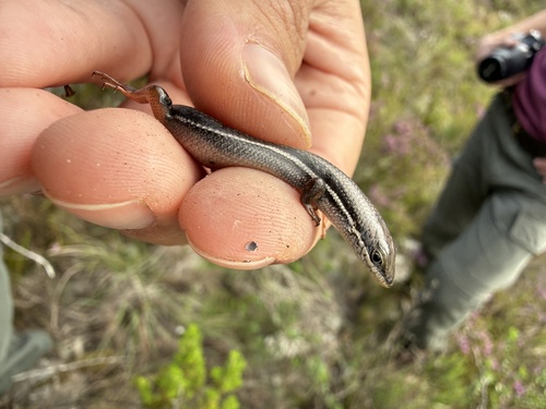
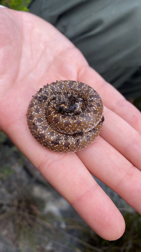
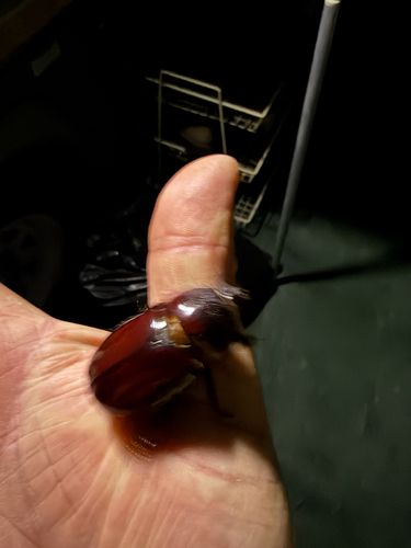
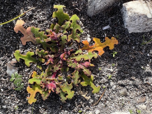
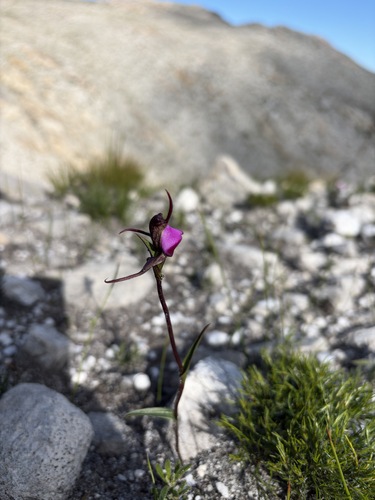
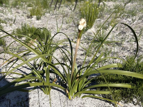
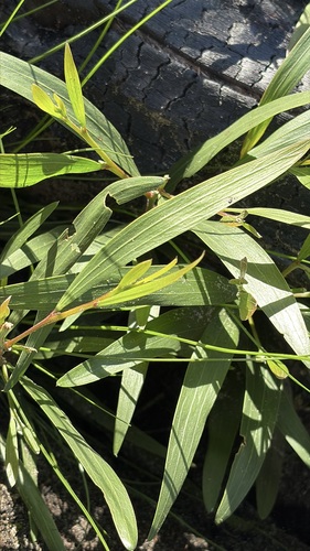
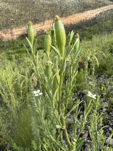
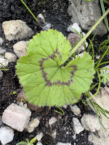
Research-grade observations from iNaturalist (within ~15 mi).
Events
Gallery
Geotagged photos within ~6 miles of Baardskeerdersbos, from Wikimedia Commons contributors.
 0.2 mi
 0.6 mi
 1.5 mi
 1.6 mi
 1.7 mi
 1.9 mi
 1.9 mi
 2.4 mi
 2.7 mi
 3.3 mi
 3.3 mi
 3.4 mi
 3.6 mi
 3.7 mi
.jpg) 3.8 mi
3.8 mi 3.9 mi
 4 mi
4 mi 4 mi
4 mi 4.1 mi
 4.1 mi
 4.1 mi
.jpg) 4.6 mi
4.6 mi.jpg) 4.6 mi
4.6 mi.jpg) 4.6 mi
4.6 miPhotos via Wikimedia Commons — see each image page for license & attribution.
Sources
- • Wikipedia
- • Wikimedia Commons
- • Wikidata
- • USGS Earthquake Catalog (global feed)
- • GBIF (Global Biodiversity Information Facility)
- • iNaturalist
- • Open-Meteo / sunrise-sunset.org
- • Wikipedia Pageviews API