Browse / South Africa / Eastern Cape / Bhisho
Bhisho
Eastern Capetown

Bhisho
Air quality index
Demographic figures from Statistics South Africa. Overview below cites Wikipedia and may reference a different year.
City facts
Facts from Wikidata (CC0).
Overview
Bhisho, formerly Bisho, is the capital of the Eastern Cape province of South Africa. The Office of the Premier, Provincial Legislature and many other government departments are headquartered in the town. The town, three kilometres from Qonce and 70 kilometres from East London, is also part of Buffalo City.
Read more on WikipediaHistory & geography
History
Bhisho derives its name from the Xhosa word for buffalo, which is also the name of the river (Buffalo River) that runs near this town. Bhisho was named after the song by Ben Tyazashe, who wrote of his longing for his home, Bisho, his name for King William's Town. However, it has also been claimed that the name was invented by Ciskei leader Lennox Sebe, after his unsuccessful bid to incorporate King William's Town into Ciskei, as Qonce (the Xhosa version of the Khoikhoi name for the Buffalo River; it means “buffalo”) was already used as the native name for King William's Town. who united across political lines against incorporation into the homeland, in the face of a 1979 recommendation by the South African government. In 1983 Bisho signed a sister-city agreement with the settlement of Ariel in the Israeli-occupied West Bank. This saw the construction of two hospitals (one on a floodplain) On 7 September 1992, Bisho became the scene of what is known as the Bisho massacre, when about 80–100,000 people marched on Bisho calling for the dismantling of Ciskei, which still maintained a measure of independence, and removal of the homeland's leader Brigadier Oupa Gqozo. The Ciskei Defence Force opened fire, shooting dead 28 or 29 people, and wounding 100. The massacre came at a critical time when negotiations towards democracy were underway. Bisho was reincorporated into South Africa on 12 August 1994, following the first democratic elections in the country in April the same year. In October 1994, the then Eastern Cape Premier Raymond Mhlaba announced that Bisho had been selected as the capital city of the Eastern Cape due to its infrastructure, accessibility to major roads and space for further development. The department of Arts and Culture published a correction of…
Excerpted from the corresponding Wikipedia article (CC BY-SA).
Geography
Coordinates & boundaries from the US Census TIGER/Line shapefiles.
Climate
10-year averages from ERA5 reanalysis (Open-Meteo).
Air quality
Current readings from Open-Meteo Air Quality API (Copernicus CAMS European reanalysis).
Walkability
Amenities nearby
Wildlife & biodiversity
Most-observed species
- Hadada IbisBostrychia hagedash (Latham, 1790) · Aves311
- Red-winged StarlingOnychognathus morio (Linnaeus, 1766) · Aves256
- Sombre GreenbulAndropadus importunus (Vieillot, 1818) · Aves239
- Common BulbulPycnonotus barbatus (Desfontaines, 1789) · Aves233
- Red-eyed DoveStreptopelia semitorquata (Rüppell, 1837) · Aves225
- Cape WeaverPloceus capensis (Linnaeus, 1766) · Aves202
- KarroothornVachellia karroo (Hayne) Banfi & Galasso · Magnoliopsida199
- African Black-headed OrioleOriolus larvatus Lichtenstein, 1823 · Aves197
Citizen-science & research observations from the Global Biodiversity Information Facility (GBIF).
Earthquake history
Events from the USGS Earthquake Catalog (global) (FDSN Event Web Service).
Photos
Sights & places nearby
Notable people from here


People born within ~10 km, from Wikidata (CC0). Click any name for their Wikipedia article.
Nearby places in Eastern Cape
Geography & sun
Elevation, sunrise/sunset and daylight from Open-Meteo. Solar climatology from NASA POWER.
Nearby airports
Public attention
Pageview totals from the Wikimedia Pageviews API.
Books about this place
Recent natural events nearby
Ground air-quality sensors
Recently spotted species

Research-grade observations from iNaturalist (within ~15 mi).
Events
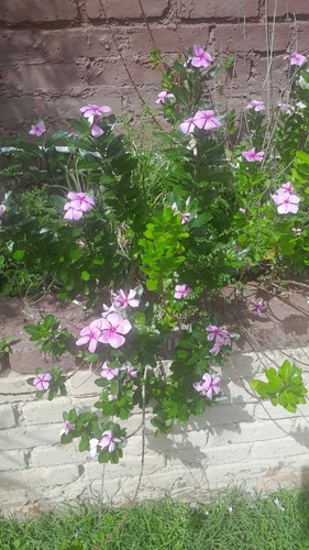
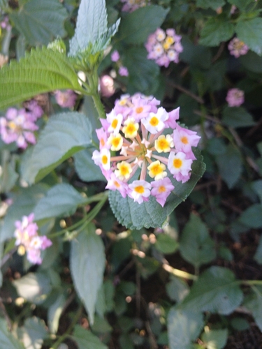
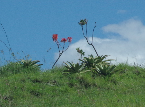
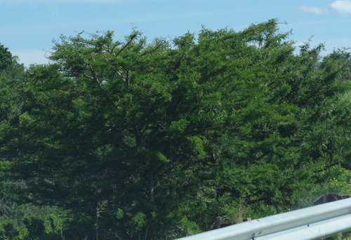
Gallery
Geotagged photos within ~6 miles of Bhisho, from Wikimedia Commons contributors.


Photos via Wikimedia Commons — see each image page for license & attribution.
Sources
- • Wikipedia
- • Open-Meteo (ERA5 reanalysis)
- • Wikimedia Commons
- • Wikidata
- • Open-Meteo Air Quality (CAMS)
- • USGS Earthquake Catalog (global feed)
- • GBIF (Global Biodiversity Information Facility)
- • iNaturalist
- • Open-Meteo / sunrise-sunset.org
- • Wikipedia Pageviews API