Browse / South Africa / Mpumalanga / Bushbuckridge
Bushbuckridge
Mpumalangatown

Bushbuckridge
Total population
2,109
Air quality index
Demographic figures from Statistics South Africa. Overview below cites Wikipedia and may reference a different year.
City facts
Facts from Wikidata (CC0).
Overview
Bushbuckridge is the main town in Bushbuckridge Local Municipality, Ehlanzeni District, Mpumalanga, South Africa. It grew around a trading store that opened in 1884, and is named after the large herds of bushbuck found here in the 1880s, and the prominent ridge in the southeastern part of the municipality.
Read more on WikipediaHistory & geography
Geography
Bushbuckridge is located in the Ehlanzeni District Municipality in Mpumalanga, South Africa, with coordinates 24°28′S 31°32′E. The Bushbuckridge Local Municipality, of which the town is the seat, is the largest local municipality in Mpumalanga by land size, covering an area of 10,250 km² (3,960 sq mi). It is bordered by the Mopani District Municipality of Limpopo Province to the north, Mozambique to the east, Mbombela and Nkomazi Local Municipalities to the south, and Thaba Chweu and Maruleng Local Municipalities to the west. The municipality comprises 135 settlements and is divided into 37 wards.
Excerpted from the corresponding Wikipedia article (CC BY-SA).
Geography
Coordinates & boundaries from the US Census TIGER/Line shapefiles.
Climate
10-year averages from ERA5 reanalysis (Open-Meteo).
Air quality
Current readings from Open-Meteo Air Quality API (Copernicus CAMS European reanalysis).
Walkability
Amenities nearby
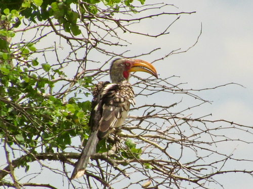
Wildlife & biodiversity
Most-observed species
- Red-winged StarlingOnychognathus morio (Linnaeus, 1766) · Aves247
- Cape White-eyeZosterops virens Sundevall, 1850 · Aves204
- Dark-capped BulbulPycnonotus tricolor (Hartlaub, 1862) · Aves192
- Greater Double-collared SunbirdCinnyris afer (Linnaeus, 1766) · Aves185
- Bar-throated ApalisApalis thoracica (Shaw, 1811) · Aves180
- Southern Double-collared SunbirdCinnyris chalybeus (Linnaeus, 1766) · Aves171
- Hadada IbisBostrychia hagedash (Latham, 1790) · Aves170
- Cape Robin-ChatCossypha caffra (Linnaeus, 1771) · Aves164
Citizen-science & research observations from the Global Biodiversity Information Facility (GBIF).
Earthquake history
Most recent
- M 4.1 — 2016-06-1225 km WSW of Phalaborwa, South Africa
Events from the USGS Earthquake Catalog (global) (FDSN Event Web Service).
Photos
Sights & places nearby
Notable people from here


People born within ~10 km, from Wikidata (CC0). Click any name for their Wikipedia article.
Nearby places in Mpumalanga
- Tswafeng7.2 mi away
- Morolaneng7.8 mi away
- Morolaneng8.3 mi away
- Boiketlo8.6 mi away
- Motlamogale10.6 mi away · pop. 4,702
- Croquet Lawn13.6 mi away
- Mkhuhlu14.9 mi away · pop. 35,864
- Hazyview15 mi away · pop. 4,236
- Ireagh15.3 mi away
- Graskop15.7 mi away · pop. 3,996
- Numbi park16.3 mi away
- Mokhololine16.6 mi away · pop. 1,569
Geography & sun
Elevation, sunrise/sunset and daylight from Open-Meteo. Solar climatology from NASA POWER.
Nearby airports
Public attention
Pageview totals from the Wikimedia Pageviews API.
Books about this place
Recent natural events nearby
Ground air-quality sensors
Recently spotted species

Research-grade observations from iNaturalist (within ~15 mi).
Events
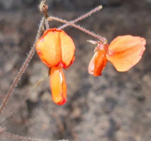
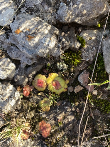
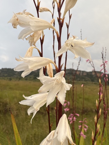
Gallery
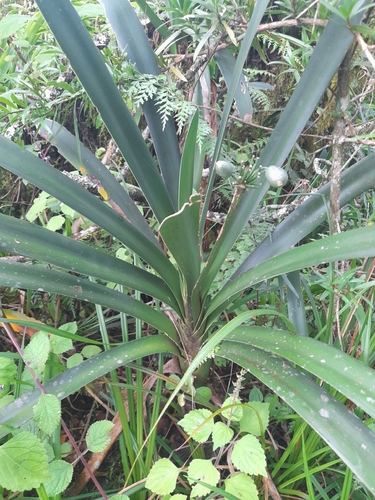
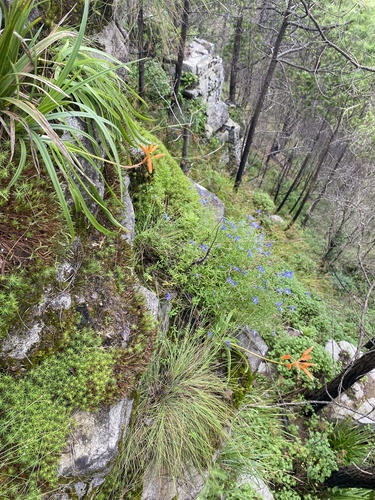
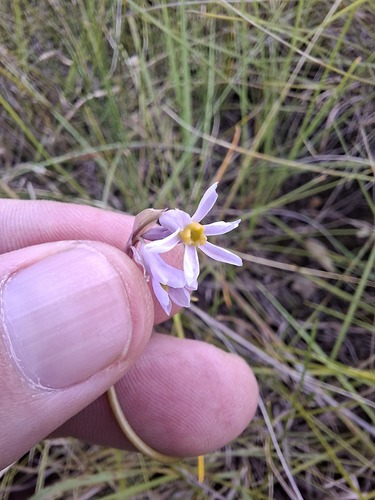
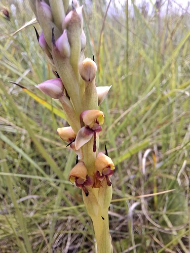
Geotagged photos within ~6 miles of Bushbuckridge, from Wikimedia Commons contributors.


Photos via Wikimedia Commons — see each image page for license & attribution.
Sources
- • Wikipedia
- • Open-Meteo (ERA5 reanalysis)
- • Wikimedia Commons
- • Wikidata
- • Open-Meteo Air Quality (CAMS)
- • USGS Earthquake Catalog (global feed)
- • GBIF (Global Biodiversity Information Facility)
- • iNaturalist
- • Open-Meteo / sunrise-sunset.org
- • Wikipedia Pageviews API