Browse / South Africa / Free State / De Brug
De Brug
Free Statevillage
Demographic figures from Statistics South Africa. Overview below cites Wikipedia and may reference a different year.
City facts
Overview
De Brug is a village located in Free State, South Africa. No reliable population estimate is published for this entry in the open data we rely on. On the world map it falls within the Eastern Hemisphere, specifically at -29.148°, 25.806°. Climatically, locations at this latitude tend to experience hot summers and mild winters typical of the subtropics. Open solar datasets indicate about 2,148 kWh/m² of solar irradiance per year, combined with sunshine for roughly 84% of daylight hours. Meteorological summaries report average highs near 77.1°F and lows near 50°F, together with about 17.7 in of annual precipitation (a relatively dry total). Open-data panels below dive into population trends, climate normals, environmental indicators and nearby places.
Summary composed automatically from structured open data on this page. See our Terms for details.
History & geography
Geography
Coordinates & boundaries from the US Census TIGER/Line shapefiles.
Climate
10-year averages from ERA5 reanalysis (Open-Meteo).
Air quality
Walkability
Amenities nearby
Wildlife & biodiversity
Most-observed species
- Southern Anteater-ChatMyrmecocichla formicivora (Wilkes, 1817) · Aves229
- White-browed Sparrow-WeaverPlocepasser mahali A.Smith, 1836 · Aves209
- Pied CrowCorvus albus Statius Muller, 1776 · Aves207
- Cape WagtailMotacilla capensis Linnaeus, 1766 · Aves194
- Cape SparrowPasser melanurus (Statius Muller, 1776) · Aves178
- Black-chested PriniaPrinia flavicans (Vieillot, 1821) · Aves177
- Southern FiscalLanius collaris Linnaeus, 1766 · Aves177
- Southern Masked-WeaverPloceus velatus Vieillot, 1819 · Aves160
Citizen-science & research observations from the Global Biodiversity Information Facility (GBIF).
Earthquake history
Most recent
- M 4.4 — 2017-09-1558 km S of Bloemfontein, South Africa
Events from the USGS Earthquake Catalog (global) (FDSN Event Web Service).
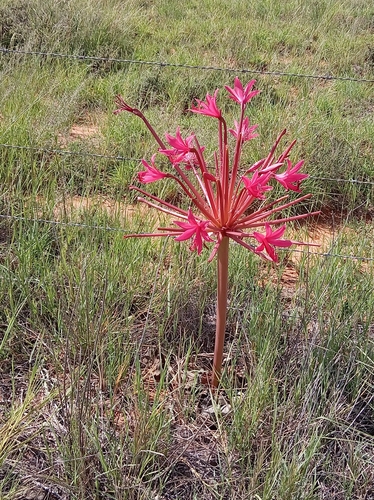
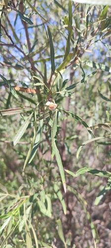
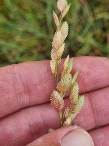
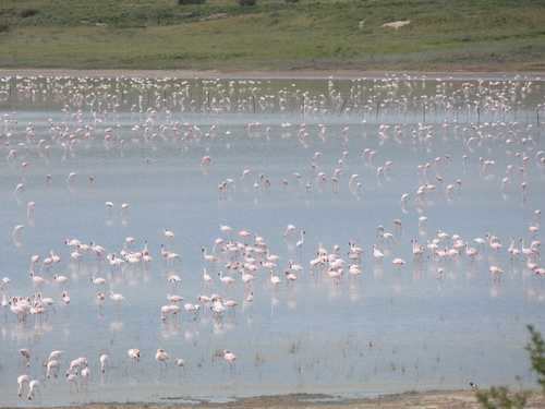
Photos
Sights & places nearby
Notable people from here
Nearby places in Free State
- Petrusburg23.8 mi away
- Bloemfontein24.8 mi away · pop. 370,000
- Grasslands30.3 mi away
- Dealesville32.7 mi away
- Martindale Kleinplase33.1 mi away
- Glen34.8 mi away
- Bloemdustria35.8 mi away
- Reddersburg41.3 mi away
- Edenburg41.3 mi away
- Jagersfontein48.1 mi away
- Winnie Mandela (Brandfort)50.4 mi away
- Fauresmith51 mi away · pop. 3,628
Geography & sun
Elevation, sunrise/sunset and daylight from Open-Meteo. Solar climatology from NASA POWER.
Nearby airports
Public attention
Books about this place
Recent natural events nearby
Ground air-quality sensors
Recently spotted species
Research-grade observations from iNaturalist (within ~15 mi).
Events
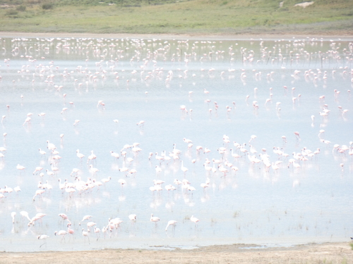
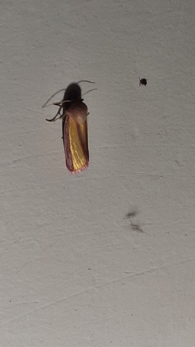
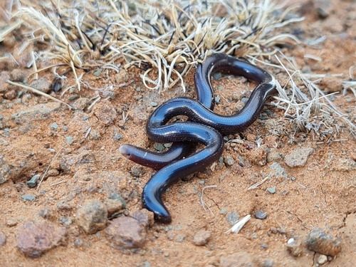
Gallery
Geotagged photos within ~6 miles of De Brug, from Wikimedia Commons contributors.

Photos via Wikimedia Commons — see each image page for license & attribution.
Sources
- • Open-Meteo (ERA5 reanalysis)
- • Wikimedia Commons
- • Wikidata
- • USGS Earthquake Catalog (global feed)
- • GBIF (Global Biodiversity Information Facility)
- • iNaturalist
- • Open-Meteo / sunrise-sunset.org