Browse / South Africa / Mpumalanga / Dullstroom
Dullstroom
Mpumalangavillage

Dullstroom
Total population
558
Founded
1883
Air quality index
Demographic figures from Statistics South Africa. Overview below cites Wikipedia and may reference a different year.
City facts
Facts from Wikidata (CC0).
Overview
Dullstroom, also known as Emnothweni, is a small town in Mpumalanga province, South Africa. The town lies 35 kilometres north of Belfast and some 53 kilometres south-west of Lydenburg on the R540 road.
Read more on WikipediaHistory & geography
History
The area was occupied in the mid-19th century by the Southern Ndebele people under the rule of King Mabhoko (called Mapoch by white settlers). Like his son Nyabêla, Mabhoko used Mapoch's Caves as a hideout during conflict with troops of the South African Republic (ZAR). The most violent fighting took place from 1882 to 1883. The nearby Fort Mapoch and a statue of Nyabêla are major attractions in Dullstroom. Dullstroom was established as the work of a settlement company founded in 1883 by its namesake Dutchman Wolterus Dull, at the invitation of State President of the South African Republic Paul Kruger, to settle Dutch immigrants. Dull, a merchant from Amsterdam, chairman of a committee which rendered assistance to families who had suffered losses during the First Anglo-Boer War. The element stroom, ‘stream’, refers to the Crocodile River nearby. The company purchased the farms Groot Suikerboschkop and Elandslaagte as the nucleus of the fledgling settlement, including housing for the settlers on the former. The village was proclaimed a town by Kruger in Dull's honor on October 9, 1893. Settlers continued to immigrate from 1884 to 1887. By 1893, the population had reached 48 people in eight houses, served by three stables, ten cattle pens, and a small trading company and store. While many of the men joined the rebels in the Second Boer War, the women and children were held in the British concentration camp in Belfast. After the Battle of Bergendal, guerrilla fighting continued in the area for a while. During the war, the town was destroyed and most of the settlers returned to the Netherlands. Only two buildings were left standing after the war, but some of the residents returned to rebuild the town, however. The church was rebuilt in 1905. In 1921, the first city…
Excerpted from the corresponding Wikipedia article (CC BY-SA).
Geography
Coordinates & boundaries from the US Census TIGER/Line shapefiles.
Climate
10-year averages from ERA5 reanalysis (Open-Meteo).
Air quality
Current readings from Open-Meteo Air Quality API (Copernicus CAMS European reanalysis).
Walkability
Amenities nearby
Wildlife & biodiversity
Most-observed species
- Southern FiscalLanius collaris Linnaeus, 1766 · Aves1,227
- Cape WagtailMotacilla capensis Linnaeus, 1766 · Aves1,205
- Hadada IbisBostrychia hagedash (Latham, 1790) · Aves1,115
- African StonechatSaxicola torquatus (Linnaeus, 1766) · Aves989
- Egyptian GooseAlopochen aegyptiaca (Linnaeus, 1766) · Aves897
- Cape CrowCorvus capensis Lichtenstein, 1823 · Aves838
- Cape WeaverPloceus capensis (Linnaeus, 1766) · Aves800
- Cape CanarySerinus canicollis (Swainson, 1838) · Aves737
Citizen-science & research observations from the Global Biodiversity Information Facility (GBIF).
Earthquake history
Most recent
- M 4.3 — 2018-07-195 km ENE of Carolina, South Africa
- M 4.6 — 2013-07-0743 km WSW of Nelspruit, South Africa
Events from the USGS Earthquake Catalog (global) (FDSN Event Web Service).
Photos
Sights & places nearby
Notable people from here
Nearby places in Mpumalanga
- Draaikraal15.1 mi away
- Stoffberg17 mi away
- eMakhazeni (Belfast)19.1 mi away · pop. 4,466
- Waterval Boven20.9 mi away · pop. 6,178
- Lydenburg31.2 mi away
- Ngodwana37.4 mi away
- Arnot40.8 mi away
- Kaapsehoop43 mi away
- Piet Tlou44 mi away
- Carolina45 mi away · pop. 16,846
- Mount Anderson46.6 mi away
- Mondi Village46.9 mi away
Geography & sun
Elevation, sunrise/sunset and daylight from Open-Meteo. Solar climatology from NASA POWER.
Nearby airports
Public attention
Pageview totals from the Wikimedia Pageviews API.
Books about this place
Recent natural events nearby
Ground air-quality sensors
Recently spotted species
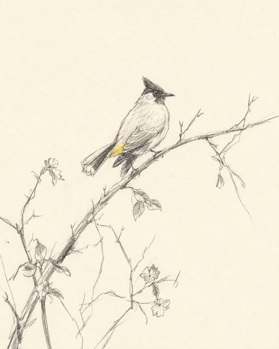
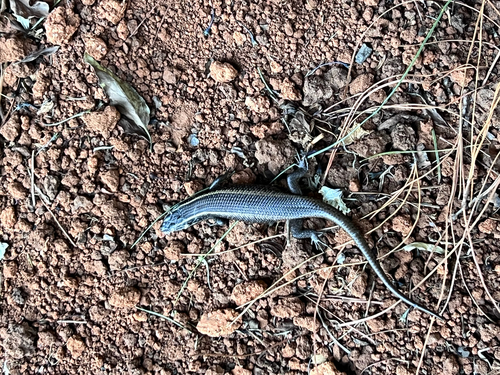
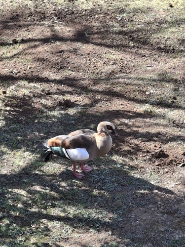
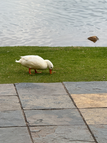
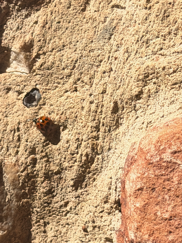
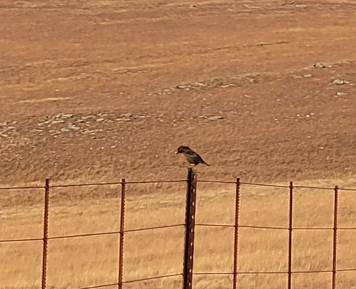
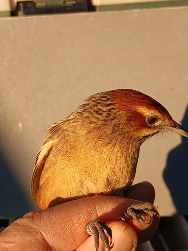
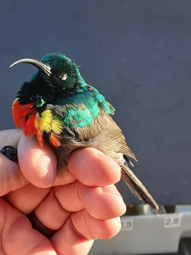
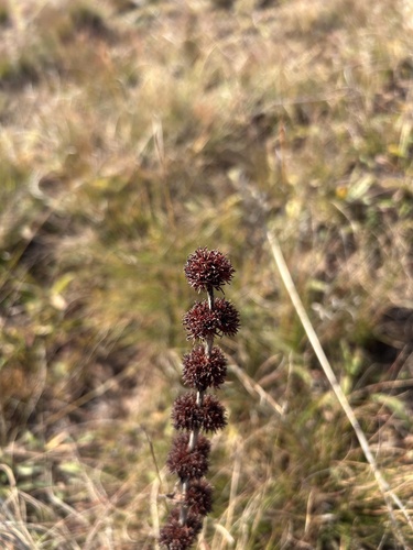
Research-grade observations from iNaturalist (within ~15 mi).
Events
Gallery
Geotagged photos within ~6 miles of Dullstroom, from Wikimedia Commons contributors.
 0.1 mi
._(48439877282).jpg) 1.5 mi
1.5 mi._(48421655416).jpg) 1.5 mi
1.5 mi._(48421806077).jpg) 1.5 mi
1.5 mi._(48421655966).jpg) 1.5 mi
1.5 mi._(48421656321).jpg) 1.5 mi
1.5 mi._(48421656566).jpg) 1.5 mi
1.5 mi._(48421807342).jpg) 1.5 mi
1.5 mi.jpg) 1.5 mi
1.5 mi._(48439877422).jpg) 1.6 mi
1.6 mi._(48439733431).jpg) 1.6 mi
1.6 mi._(48439877097).jpg) 1.6 mi
1.6 mi._(48439878012).jpg) 1.6 mi
1.6 mi._(48432117487).jpg) 1.6 mi
1.6 mi._(48432119787).jpg) 1.6 mi
1.6 mi._(48432120032).jpg) 1.6 mi
1.6 mi._(48421808007).jpg) 1.6 mi
1.6 mi._(48421808597).jpg) 1.6 mi
1.6 mi._(48421808277).jpg) 1.6 mi
1.6 mi._(48421657296).jpg) 1.6 mi
1.6 mi._(48421808372).jpg) 1.6 mi
1.6 mi._(48421808802).jpg) 1.6 mi
1.6 mi._(48421658541).jpg) 1.6 mi
1.6 mi._(48421809532).jpg) 1.6 mi
1.6 miPhotos via Wikimedia Commons — see each image page for license & attribution.
Sources
- • Wikipedia
- • Open-Meteo (ERA5 reanalysis)
- • Wikimedia Commons
- • Wikidata
- • Open-Meteo Air Quality (CAMS)
- • USGS Earthquake Catalog (global feed)
- • GBIF (Global Biodiversity Information Facility)
- • iNaturalist
- • Open-Meteo / sunrise-sunset.org
- • Wikipedia Pageviews API