Browse / South Africa / Mpumalanga / Ermelo
Ermelo
Mpumalangatown

Ermelo
Total population
83,865
Founded
1880
Air quality index
Demographic figures from Statistics South Africa. Overview below cites Wikipedia and may reference a different year.
City facts
Facts from Wikidata (CC0).
Overview
Ermelo is the educational, industrial and commercial town of the 7,750 km2 (2,990 sq mi) Gert Sibande District Municipality in Mpumalanga province, Republic of South Africa. It is both a mixed agriculture and mining region. It is located 210 km (130 mi) east of Johannesburg.
Read more on WikipediaHistory & geography
History
Some of the earliest inhabitants of the area were the Leghoya people. Not much is known about them, but ruins of their settlements dating back to c.1400 can be found in the area. During the mid-1800s, the area was an outspan area for resting teams of draw animals transporting goods across the region mainly due to the small lakes dotting the area. The town was formed on the farm Nooitgedacht purchased from P.J. Fourie in 1879 and proclaimed on 12 February 1880. Cachet had met and been influenced by Hermanus Willem Witteveen from Ermelo in the Netherlands as a young man, and named the settlement in honour of Witteveen. In 1901, the town was reduced to a single standing home by the British during the Second Boer War. The town would be rebuilt in 1903.
Excerpted from the corresponding Wikipedia article (CC BY-SA).
Geography
Coordinates & boundaries from the US Census TIGER/Line shapefiles.
Climate
Air quality
Current readings from Open-Meteo Air Quality API (Copernicus CAMS European reanalysis).
Walkability
Amenities nearby
Wildlife & biodiversity
Most-observed species
- Cape WagtailMotacilla capensis Linnaeus, 1766 · Aves574
- Ring-necked DoveStreptopelia capicola (Sundevall, 1857) · Aves400
- Southern FiscalLanius collaris Linnaeus, 1766 · Aves373
- Hadada IbisBostrychia hagedash (Latham, 1790) · Aves365
- Southern Red BishopEuplectes orix (Linnaeus, 1758) · Aves352
- Southern Masked-WeaverPloceus velatus Vieillot, 1819 · Aves349
- Long-tailed WidowbirdEuplectes progne (Boddaert, 1783) · Aves345
- African StonechatSaxicola torquatus (Linnaeus, 1766) · Aves342
Citizen-science & research observations from the Global Biodiversity Information Facility (GBIF).
Earthquake history
Most recent
- M 3.7 — 2019-07-0136 km W of Mhlambanyatsi, Eswatini
- M 4.6 — 2018-11-256 km WNW of eMbalenhle, South Africa
- M 4.3 — 2018-07-195 km ENE of Carolina, South Africa
- M 3.6 — 2008-05-3018 km NNE of Kriel, South Africa
- M 4.7 — 2002-07-1214 km NNW of eMbalenhle, South Africa
Events from the USGS Earthquake Catalog (global) (FDSN Event Web Service).
Photos
Sights & places nearby
Notable people from here


People born within ~10 km, from Wikidata (CC0). Click any name for their Wikipedia article.
Nearby places in Mpumalanga
Geography & sun
Elevation, sunrise/sunset and daylight from Open-Meteo. Solar climatology from NASA POWER.
Nearby airports
Public attention
Pageview totals from the Wikimedia Pageviews API.
Books about this place
Recent natural events nearby
Ground air-quality sensors
Recently spotted species
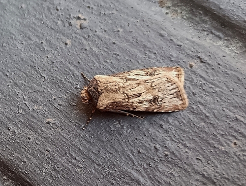
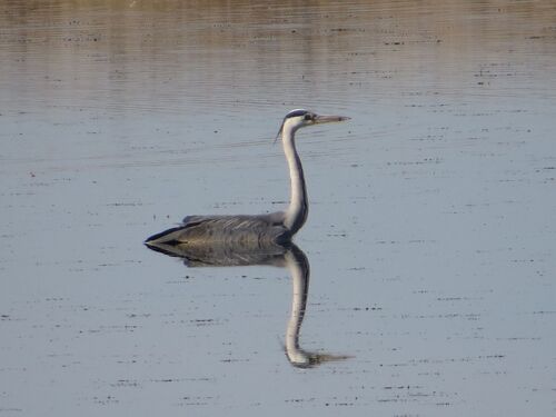
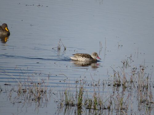
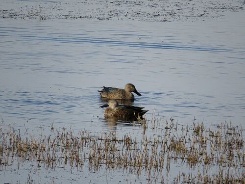
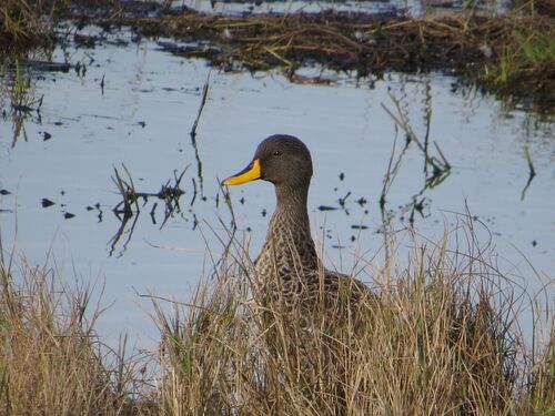
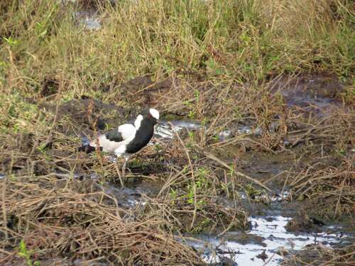
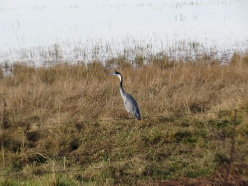
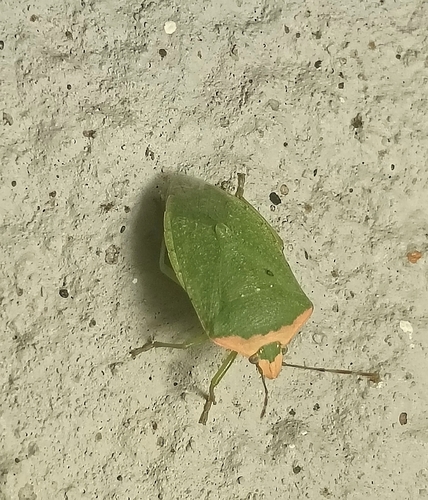
Research-grade observations from iNaturalist (within ~15 mi).
Events
Gallery
Geotagged photos within ~6 miles of Ermelo, from Wikimedia Commons contributors.
 0.1 mi
 0.4 mi
 0.8 mi
 0.8 mi
 0.8 mi
 0.8 mi
 0.8 mi
 0.8 mi
 0.8 mi
 0.8 mi
 0.8 mi
 0.8 mi
 0.8 mi
 0.8 mi
 2.1 mi
.jpg) 2.5 mi
2.5 mi 5.5 mi
 5.5 mi
 5.5 mi
 5.5 mi
 5.6 mi
 5.6 mi
Photos via Wikimedia Commons — see each image page for license & attribution.
Sources
- • Wikipedia
- • Wikimedia Commons
- • Wikidata
- • Open-Meteo Air Quality (CAMS)
- • USGS Earthquake Catalog (global feed)
- • GBIF (Global Biodiversity Information Facility)
- • iNaturalist
- • Open-Meteo / sunrise-sunset.org
- • Wikipedia Pageviews API