Browse / South Africa / Free State / Hlohlolwane (Clocolan)
Hlohlolwane (Clocolan)
Free Statetown

Hlohlolwane (Clocolan)
Founded
1907
Air quality index
Demographic figures from Statistics South Africa. Overview below cites Wikipedia and may reference a different year.
City facts
Facts from Wikidata (CC0).
Overview
Clocolan, officially renamed Hlohlolwane, was established in 1906, is a small town in the Free State Province of South Africa. The Basotho called the place Hlohlolwane. New inhabitants mispronounced the name and called it Clocolan.
Read more on WikipediaHistory & geography
History
The first to inhabit the area were the ancient Kwena people from Botswana. Soon the Basotho followed. The Bakwena, a Sotho tribe, gave Hlohloloane its name in 1800. The Bakwena Chief Motebang lived in the Northern part of Clocolan, in an area known as ‘Betang’, today a private farm. Motebang invited the neighbouring Baphuthi Zulu clan to assist his people stacking corn baskets after a successful harvest. An argument erupted when one Bakwena elder charged at the Baphuti's. The argument brought forth the slogan ‘Hlohla-o-loane’ or ‘Hlohloloane’, that translates as “Get/stand up and fight” and this may explain how the town earned its name. Boer Settlers, displaced by British administrative policies in the Cape in the early 1800s drove the Basotho out of the area. As the Boers engaged in settled agriculture the formal town of Clocolan was built as a consequence of the social and economic systems coming to the area. By the late 1800s increasing western civilization was making its mark and trading posts , schools and churches were built with a railway line laid to the town in 1907.
Geography
The town is in the Thabo Mofutsanyana region of the Free State Province in South Africa. It is located along the Maloti route main road, 20 kilometers from the Caledon river, alongside the Lesotho border. Due to its location, the town trades with Lesotho, Southern parts of the Free State, Kwa-Zulu Natal and the Cape.
Excerpted from the corresponding Wikipedia article (CC BY-SA).
Geography
Coordinates & boundaries from the US Census TIGER/Line shapefiles.
Climate
10-year averages from ERA5 reanalysis (Open-Meteo).
Air quality
Current readings from Open-Meteo Air Quality API (Copernicus CAMS European reanalysis).
Walkability
Amenities nearby
Wildlife & biodiversity
Most-observed species
- Cape WagtailMotacilla capensis Linnaeus, 1766 · Aves53
- Southern FiscalLanius collaris Linnaeus, 1766 · Aves40
- Red-knobbed CootFulica cristata Gmelin, 1789 · Aves38
- White-browed Sparrow-WeaverPlocepasser mahali A.Smith, 1836 · Aves36
- Black-shouldered KiteElanus caeruleus (Desfontaines, 1789) · Aves34
- BokmakierieTelophorus zeylonus (Linnaeus, 1766) · Aves34
- Hadada IbisBostrychia hagedash (Latham, 1790) · Aves33
- Egyptian GooseAlopochen aegyptiaca (Linnaeus, 1766) · Aves32
Citizen-science & research observations from the Global Biodiversity Information Facility (GBIF).
Earthquake history
Most recent
- M 4.3 — 2016-09-054 km SSW of Nako, Lesotho
- M 4.2 — 2015-03-2025 km ESE of Ventersburg, South Africa
Events from the USGS Earthquake Catalog (global) (FDSN Event Web Service).
Photos
Sights & places nearby
Notable people from here

People born within ~10 km, from Wikidata (CC0). Click any name for their Wikipedia article.
Nearby places in Free State
Geography & sun
Elevation, sunrise/sunset and daylight from Open-Meteo. Solar climatology from NASA POWER.
Nearby airports
Public attention
Pageview totals from the Wikimedia Pageviews API.
Books about this place
Recent natural events nearby
Ground air-quality sensors
Recently spotted species
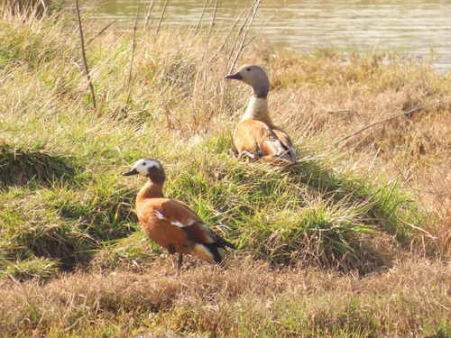
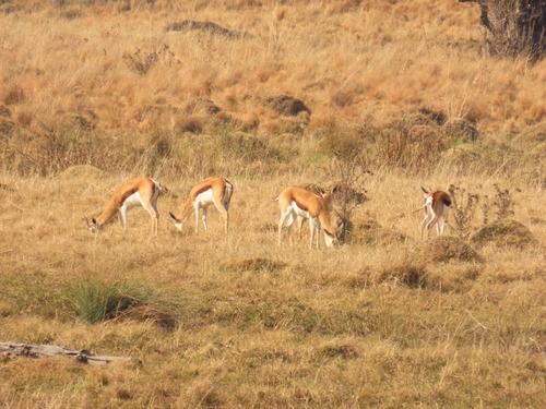
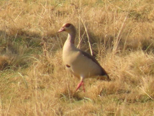
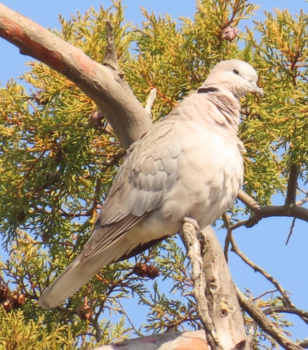
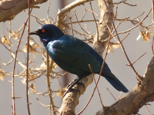
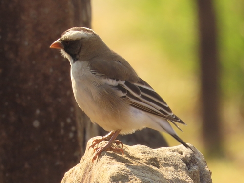
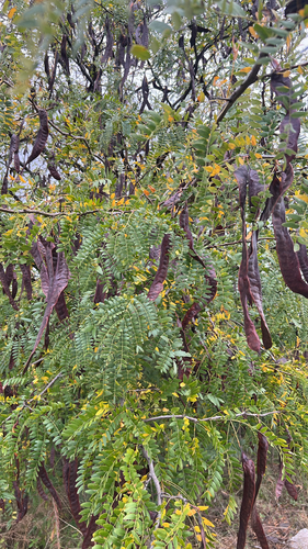
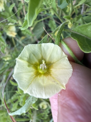
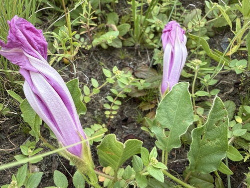
Research-grade observations from iNaturalist (within ~15 mi).
Events
Gallery
Geotagged photos within ~6 miles of Hlohlolwane (Clocolan), from Wikimedia Commons contributors.


Photos via Wikimedia Commons — see each image page for license & attribution.
Sources
- • Wikipedia
- • Open-Meteo (ERA5 reanalysis)
- • Wikimedia Commons
- • Wikidata
- • Open-Meteo Air Quality (CAMS)
- • USGS Earthquake Catalog (global feed)
- • GBIF (Global Biodiversity Information Facility)
- • iNaturalist
- • Open-Elevation
- • Open-Meteo / sunrise-sunset.org
- • Wikipedia Pageviews API