Browse / South Africa / Eastern Cape / Hogsback
Hogsback
Eastern Capevillage

Hogsback
Founded
1883
Demographic figures from Statistics South Africa. Overview below cites Wikipedia and may reference a different year.
City facts
Facts from Wikidata (CC0).
Overview
Hogsback is a mountain retreat in the Amathole Mountains in the Eastern Cape Province, South Africa.
Read more on WikipediaHistory & geography
History
The earliest known written reference to 'Hogsback' was found in the journal of the painter Thomas Baines, who passed the 'Hogs Back' while on his travels deeper inside South Africa in 1848. Besides the 'Hogsback', the highest peak in the area is the 1 954 m Gaika's Kop. The nearby Xhosa tribes called the surrounding area Qabimbola (meaning 'red clay on the face') as the surrounding clay was used for face painting. Gaika's Kop was one of the Xhosa strongholds. British troops were later stationed here and a number of forts were built to guard the border with the Xhosa. One of these forts was Fort Michell, named after Colonel Michell of the Warwickshire regiment, who was at one point in charge of troops in the area. The name has since changed to Fort Mitchell. The outline of Fort Michell, and the first road from Fort Hare can still be seen. The conflict between the British and Xhosa continued further north and a small settlement began to grow. Some of the first inhabitants of Hogsback were Summerton, Odendaal and Booysens. Thomas Summerton, a gardener from Oxford, has a legacy that survives in the local gardens and his attempts to re-create the English countryside. This can be seen in apple orchards, avenues lined with hazelnut trees, berry fruits and the flowering plants that have spread throughout the surrounding area. European flowers, bushes and trees include rhododendrons, azaleas, fruits and berries. He named his farm Cherrie Orchard and also built a furrow – Summerton's furrow – to carry water from a stream on Tor Doone. In the 1880s, Collins built a small hotel, called the Hogsback Hydro, of which later became the Hogsback Inn. Hunterstoun, the private estate of David Hunter, was built in 1910. Hunter was the honorary secretary and treasurer of the Lovedale…
Excerpted from the corresponding Wikipedia article (CC BY-SA).
Geography
Coordinates & boundaries from the US Census TIGER/Line shapefiles.
Climate
Air quality
Walkability
Amenities nearby
Wildlife & biodiversity
Earthquake history
Photos
Sights & places nearby
Notable people from here
Nearby places in Eastern Cape
Geography & sun
Elevation, sunrise/sunset and daylight from Open-Meteo. Solar climatology from NASA POWER.
Nearby airports
Public attention
Pageview totals from the Wikimedia Pageviews API.
Books about this place
Recent natural events nearby
Ground air-quality sensors
Recently spotted species
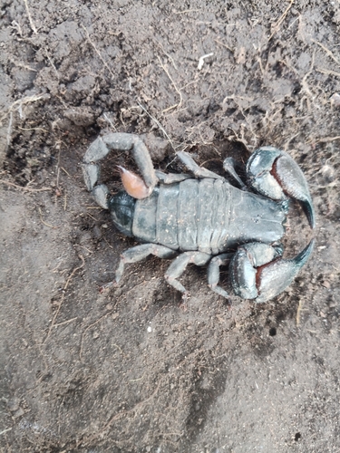
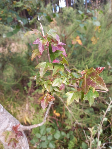
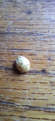
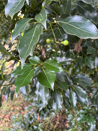
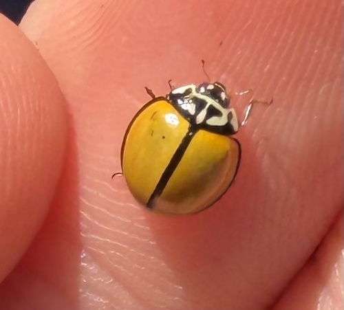
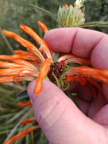
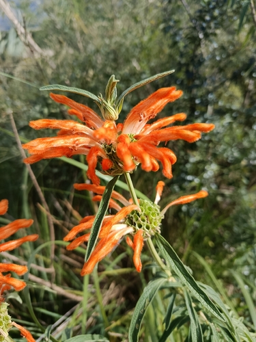
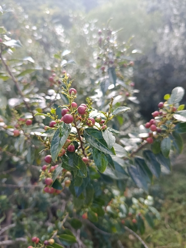
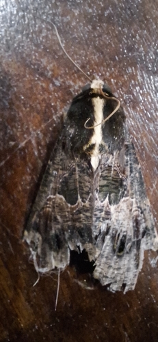
Research-grade observations from iNaturalist (within ~15 mi).
Events
Gallery
Sources
- • Wikipedia
- • Wikidata
- • iNaturalist
- • Open-Meteo / sunrise-sunset.org
- • Wikipedia Pageviews API