Browse / South Africa / KwaZulu-Natal / Inanda
Inanda
KwaZulu-Nataltown
Air quality index
Demographic figures from Statistics South Africa. Overview below cites Wikipedia and may reference a different year.
City facts
Facts from Wikidata (CC0).
Overview
Inanda or eNanda is a township in Durban KwaZulu-Natal, South Africa that is situated 21 km north-west of Durban. It forms part of eThekwini, the Greater Durban Metropolitan Municipality. Populated primarily by Zulu-speaking Black Africans, Inanda is the home of John Langalibalele Dube, first President of the African National Congress (ANC), a former residence and base of operations of Mahatma Gandhi, and the birthplace of the syncretic Nazareth Baptist Church
Read more on WikipediaHistory & geography
History
Inanda Township, situated within the eThekwini Metropolitan Municipality, holds historical significance as one of the original townships in the region. Initially, during the 17th century, it served as a vital oasis for local Indigenous farmers. The landscape transformed with the arrival of white settlers in the late 1700s, and by the 1800s, Inanda Township became designated as a 'Reserve' for Black and less educated individuals. Indian farmers became part of the community in 1936, further enriching its cultural fabric. The year 1951 marked a pivotal shift with the introduction of the Group Areas Act by the government. This legislation led to an influx of Black residents into Inanda Township, accompanied by challenges arising from inadequate infrastructure encompassing housing, schools, clinics, roads, sanitation, and water systems. The lack of proper planning detrimentally impacted the quality of life for the township's inhabitants. Tensions escalated between the Indian and African communities between 1984-1987, resulting in significant political and racial clashes. As a consequence, many Indian residents relocated to nearby areas such as Verulam, KwaZulu-Natal, Phoenix, Durban, and Ottawa, KwaZulu-Natal. Despite South Africa's first democratic elections in 1994, Inanda Township continued to experience relative neglect from the eThekwini Metropolitan Municipality in terms of developmental initiatives. Notably, on April 27, 1994, Inanda Township gained recognition as the location where Nelson Mandela cast his vote, marking a momentous occasion in the country's history. This event coincided with his election as the first Black President of the Republic later that same year. John Langalibalele Dube, affectionately known as "Mafukuzela," alongside his wife Nokutela…
Geography
Adjacent communities within the KwaZulu-Natal province, including the prominent city of Durban, encompass KwaMashu and Ntuzuma. Inanda Township occupies an extensive geographical area and is segmented into multiple sections. Unlike neighboring KwaMashu, these divisions are denoted by actual names rather than letters. Among these sections are Inanda Newtowns A, B, and C (locally referred to as Ematendeni), Dube Village, Ezimangweni, White City, Langalibalele, Ohlange, Amaoti, Lindley, Congo (D.R), Amatikwe, Phola, Ngoqokazi, Tafuleni, Ntanda, Emachobeni, Ngcungcwini, Soweto, and Glebe. Although there exists ongoing discourse concerning whether the area extending from Umzinyathi to Manyaseni falls within Inanda's boundaries, it is situated within the Qadi Area. However, the Qadi Area lacks official standalone recognition, necessitating its residents to employ Inanda for postal addresses and commercial purposes. Notably, the Inanda section of Ohlange has evolved into a notable tourist destination due to its significant historical association with the esteemed late Dr. John Langalibalele Dube.
Excerpted from the corresponding Wikipedia article (CC BY-SA).
Geography
Coordinates & boundaries from the US Census TIGER/Line shapefiles.
Climate
Air quality
Current readings from Open-Meteo Air Quality API (Copernicus CAMS European reanalysis).
Walkability
Amenities nearby
Wildlife & biodiversity
Most-observed species
- Hadada IbisBostrychia hagedash (Latham, 1790) · Aves6,399
- Red-eyed DoveStreptopelia semitorquata (Rüppell, 1837) · Aves5,693
- Red-winged StarlingOnychognathus morio (Linnaeus, 1766) · Aves4,898
- Bronze mannikinLonchura cucullata (Swainson, 1837) · Aves4,338
- Cape White-eyeZosterops virens Sundevall, 1850 · Aves4,216
- Black-collared BarbetLybius torquatus (Dumont, 1805) · Aves4,091
- Egyptian GooseAlopochen aegyptiaca (Linnaeus, 1766) · Aves3,758
- Village WeaverPloceus cucullatus (Statius Muller, 1776) · Aves3,642
Citizen-science & research observations from the Global Biodiversity Information Facility (GBIF).
Earthquake history
Most recent
- M 3.7 — 2016-02-06South Africa
- M 4.3 — 2015-06-1619 km ESE of Sundumbili, South Africa
Events from the USGS Earthquake Catalog (global) (FDSN Event Web Service).
Photos
Sights & places nearby
Notable people from here


People born within ~10 km, from Wikidata (CC0). Click any name for their Wikipedia article.
Nearby places in KwaZulu-Natal
- Pinetown8.8 mi away
- Umdloti / eMdloti10.5 mi away
- Hillcrest11.8 mi away
- Chatsworth14.4 mi away
- Ballito19.8 mi away
- Shaka's Rock21.9 mi away
- Tinley Manor Beach27.3 mi away
- Wartburg29.9 mi away
- Stanger / KwaDukuza33 mi away
- Blythedale Beach33.9 mi away
- Thornville33.9 mi away
- Pietermaritzburg35.2 mi away · pop. 618,536
Geography & sun
Elevation, sunrise/sunset and daylight from Open-Meteo. Solar climatology from NASA POWER.
Nearby airports
Public attention
Pageview totals from the Wikimedia Pageviews API.
Books about Inanda
Search results from Open Library.
Recent natural events nearby
Ground air-quality sensors
Recently spotted species
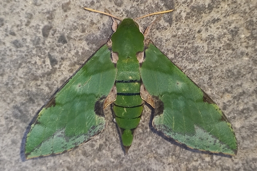
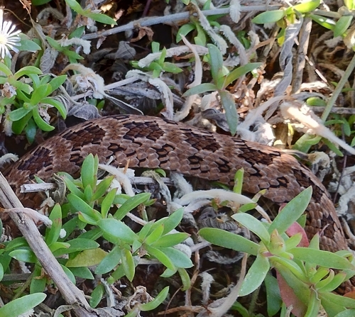
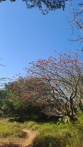
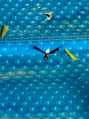
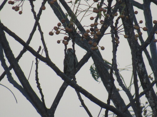
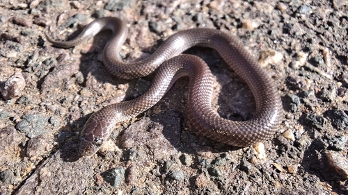
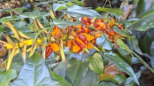
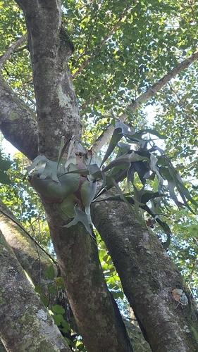
Research-grade observations from iNaturalist (within ~15 mi).
Events
Gallery
Geotagged photos within ~6 miles of Inanda, from Wikimedia Commons contributors.

.jpg)


.jpg)
.jpg)


Photos via Wikimedia Commons — see each image page for license & attribution.
Sources
- • Wikipedia
- • Wikimedia Commons
- • Wikidata
- • Open-Meteo Air Quality (CAMS)
- • USGS Earthquake Catalog (global feed)
- • GBIF (Global Biodiversity Information Facility)
- • iNaturalist
- • Open-Meteo / sunrise-sunset.org
- • Wikipedia Pageviews API
- • Open Library