Browse / South Africa / Eastern Cape / Jansenville
Jansenville
Eastern Capetown

Jansenville
Total population
5,612
Founded
1855
Demographic figures from Statistics South Africa. Overview below cites Wikipedia and may reference a different year.
City facts
Facts from Wikidata (CC0).
Overview
Jansenville is a town in Sarah Baartman District Municipality in the Eastern Cape province of South Africa.
Read more on WikipediaHistory & geography
History
In the late 1700s, outposts of the Cape Colony, in the form of the trek boer and hunters had reached and crossed the Sundays River. The greater portion of what now constitutes the Jansenville district fell under Uitenhage. The first European to settle here was Christiaan Ernst Schutte, who obtained title to land surveyed by James Swan in June 1818 described as "Late Loan Place Vergenoegd" of 3000 morgen, and granted to C.E. Schutte in 1820. Schutte was required to pay to "The Receiver General of Land Revenue" an annual quitrent of 50 Rix dollars. Schutte later sold to Prinsloo and moved northwards, to be followed by the latter when fierce, impetuous Petrus Fourie, arrived from Swellendam in 1838, to become the new owner of Vergenoegd. His veins flowing with Huguenot industry, Fourie found the land good. The muddy waters of the Sundays spread fertile, alluvial soil along its banks. Fourie and his sons began to cultivate, and before long one hundred morgen were under crops. The Great North tract passed over Vergenoegd. It was used by hundreds of ox wagons en route to Port Elizabeth, and returning with merchandise. The transport riders found good pasture and ample provisions in wheat, mealies and meat; the district was becoming populous. In 1853 Petrus Fourie arranged for layout and survey of about 80 erven for the establishment of a township named Alexandria in honor of Ds. Alexander Smith, NGK Minister at Uitenhage, who visited the congregation once a quarter. However, by the time the application reached the authorities at the Cape, another community near the coast had beaten Fourie to the name. Jansenville was then decided on in honor of General Janssens, last of the Dutch Governors at the Cape, and Commander of the Dutch forces at the fateful Battle of…
Excerpted from the corresponding Wikipedia article (CC BY-SA).
Geography
Coordinates & boundaries from the US Census TIGER/Line shapefiles.
Climate
10-year averages from ERA5 reanalysis (Open-Meteo).
Air quality
Walkability
Amenities nearby
Wildlife & biodiversity
Most-observed species
- Elephant BushPortulacaria afra Jacq. · Magnoliopsida66
- Cape AloeAloe ferox Mill. · Liliopsida57
- Blue NoorsEuphorbia radyeri Bruyns · Magnoliopsida28
- coral aloeAloe striata Haw. · Liliopsida20
- Indaba treePappea capensis Eckl. & Zeyh. · Magnoliopsida19
- KarroothornVachellia karroo (Hayne) Banfi & Galasso · Magnoliopsida18
- Karoo GoldRhigozum obovatum Burch. · Magnoliopsida16
- Bastard Shepherd TreeBoscia oleoides (Burch. ex DC.) Toelken · Magnoliopsida13
Citizen-science & research observations from the Global Biodiversity Information Facility (GBIF).
Earthquake history
Events from the USGS Earthquake Catalog (global) (FDSN Event Web Service).
Photos
Sights & places nearby
Notable people from here
People born within ~10 km, from Wikidata (CC0). Click any name for their Wikipedia article.
Nearby places in Eastern Cape
Geography & sun
Elevation, sunrise/sunset and daylight from Open-Meteo. Solar climatology from NASA POWER.
Nearby airports
Public attention
Pageview totals from the Wikimedia Pageviews API.
Books about this place
Recent natural events nearby
Ground air-quality sensors
Recently spotted species
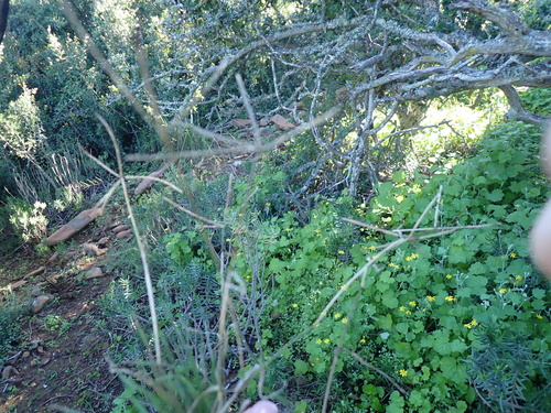
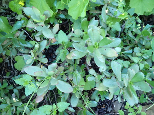
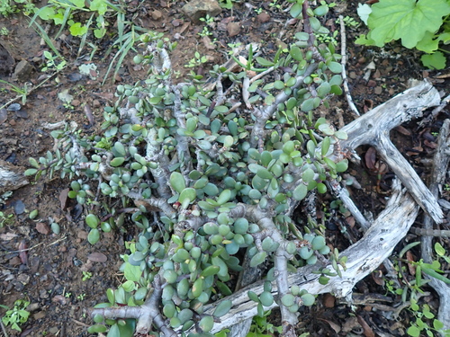
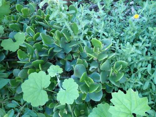
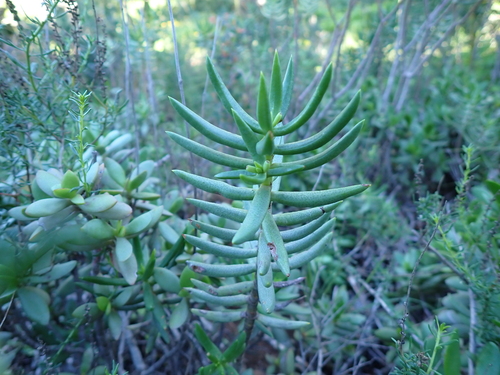
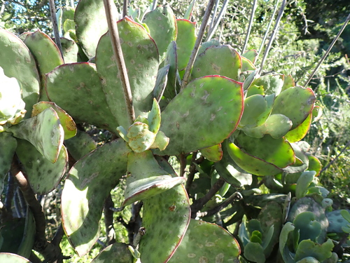
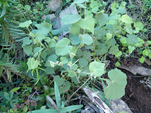
Research-grade observations from iNaturalist (within ~15 mi).
Events
Gallery
Geotagged photos within ~6 miles of Jansenville, from Wikimedia Commons contributors.


Photos via Wikimedia Commons — see each image page for license & attribution.
Sources
- • Wikipedia
- • Open-Meteo (ERA5 reanalysis)
- • Wikimedia Commons
- • Wikidata
- • USGS Earthquake Catalog (global feed)
- • GBIF (Global Biodiversity Information Facility)
- • iNaturalist
- • Open-Meteo / sunrise-sunset.org
- • Wikipedia Pageviews API