Browse / South Africa / North West / Klerksdorp
Klerksdorp
North Westcity

Klerksdorp
Total population
186,515
Founded
1837
Air quality index
Demographic figures from Statistics South Africa. Overview below cites Wikipedia and may reference a different year.
City facts
Facts from Wikidata (CC0).
Overview
Klerksdorp is located in the North West Province, South Africa. Klerksdorp is located 165 km (103 mi) southeast of Mahikeng, the provincial capital. Klerksdorp was also the first capital of the then Transvaal Republic and used to be the home of the first Stock Exchange in the region. It became an important trading town linking Kimberley to Johannesburg. It became home to a mix of farmers, miners and immigrants servicing the two industries. It was then located there because of availability of water and climate change.
Read more on WikipediaHistory & geography
History
The city was founded in 1837 or 1838 when the Voortrekkers settled on the banks of the Schoonspruit who claimed a farm of about , called it Elandsheuwel ("Hill of the Eland"). He gave plots of land and communal grazing rights on this farm to other Voortrekkers in return for their labour in building a dam and an irrigation canal. This collection of smallholdings was later given the name of Klerksdorp in honour of the first landdrost (magistrate) of the area, Jacob de Clercq. Although Klerksdorp was officially proclaimed a town only in 1888, long before that it was considered a town not only by its residents, but also by visitors and even by authorities. In 1850 the Rev. A. Murray mentioned the "town on the Schoonspruit" during his trip through the Transvaal. In the same year, an official document, an inspection report, spoke of the "town of Klerksdorp" when the residents requested additional pieces of land. Seven years later, in 1857, state attorney J. H. Visagie wrote to government secretary C. Moll that it was desirable that regulations be drawn up for Klerksdorp. President M. W. Pretorius then issued regulations for Klerksdorp and Skoonspruit in 1859. In a letter to the President, magistrate Cornelis Johannes Bodenstein of Potchefstroom in 1863 also designated Klerksdorp as a town. The Executive Council had a sketch map of the town drawn up in 1871 and according to article 196 of the minutes dated 18 January 1872 the town regulations were approved. In November 1885 as well as on the Witwatersrand, which lies about to the east. As a consequence, thousands of fortune-seekers descended on the small village, turning it into a town with 70 taverns and even a stock exchange of its own. This stock exchange opened its doors in 1888 and soon did a roaring trade,…
Geography
Klerksdorp has a semi-arid climate (BSk, according to the Köppen climate classification), with warm to hot summers and cool, dry winters. The average annual precipitation is , with most of the rainfall occurring during summer. Klerksdorp is divided into 35 suburbs List of suburbs {| class="wikitable sortable" ! Suburb ! Suburb ! Suburb |- | Adamayview | Alabama | Campbelldorp |- | Collerville | Dawkinsville | Doringkruin |- | Elandia | Elandsheuwel | Ellaton (New Industrial Area) |- | Flamwood | Flimieda | Freemanville |- | Irenepark | Jouberton | Lahoff |- | Meiringspark | Matlosane | Manzil Park |- | Neserhof | Oudorp | Pienaarsdorp |- | Randlespark | Roosheuwel | Songloed |- | Uraniaville (Old industrial area) | Wilkeville | Wilkoppies |- |} Klerksdorp's black residential area was laid out in 1907 south of the town where the residential areas of Neserhof and Ellaton are today. Already in 1924, there was talk of moving the blacks, but it was decided to let it stand until the financial problems associated with such a move were resolved. In 1935 and 1936, the city council once again decided to move them, but this was not carried out either. With a view to the southward expansion of the town, the then city council was finally obliged to undertake the relocation. In 1949, construction began on the first 32 houses in the new black residential area, Jouberton. Originally it would be the name Joubertina, named after councilor Jan Joubert. Because there was already a town with this name in the Cape Province (now Eastern Cape), it was changed to Jouberton to avoid confusion. The Colored people first lived in an area adjacent to the old industrial area, but in 1956 the surveying of Alabama, the new residential area, began. Two years later, in 1958, the layout of the…
Excerpted from the corresponding Wikipedia article (CC BY-SA).
Geography
Coordinates & boundaries from the US Census TIGER/Line shapefiles.
Climate
10-year averages from ERA5 reanalysis (Open-Meteo).
Air quality
Current readings from Open-Meteo Air Quality API (Copernicus CAMS European reanalysis).
Walkability
Amenities nearby
Wildlife & biodiversity
Most-observed species
- Red-eyed DoveStreptopelia semitorquata (Rüppell, 1837) · Aves765
- Laughing DoveSpilopelia senegalensis (Linnaeus, 1766) · Aves759
- Southern Masked-WeaverPloceus velatus Vieillot, 1819 · Aves750
- Black-fronted BulbulPycnonotus nigricans (Vieillot, 1818) · Aves725
- Speckled PigeonColumba guinea Linnaeus, 1758 · Aves691
- Common MynaAcridotheres tristis (Linnaeus, 1766) · Aves678
- House SparrowPasser domesticus (Linnaeus, 1758) · Aves655
- Karoo ThrushTurdus smithi Bonaparte, 1850 · Aves640
Citizen-science & research observations from the Global Biodiversity Information Facility (GBIF).
Earthquake history
Most recent
- M 4.2 — 2026-02-0810 km E of Orkney, South Africa
- M 4.3 — 2025-09-1015 km SSE of Stilfontein, South Africa
- M 4.8 — 2025-07-107 km SE of Orkney, South Africa
- M 4.8 — 2025-04-174 km NNE of Orkney, South Africa
- M 4.4 — 2024-05-1512 km SE of Stilfontein, South Africa
- M 4.4 — 2024-04-305 km NW of Allanridge, South Africa
Events from the USGS Earthquake Catalog (global) (FDSN Event Web Service).
Photos
Sights & places nearby
Notable people from here


People born within ~10 km, from Wikidata (CC0). Click any name for their Wikipedia article.
Nearby places in North West
Geography & sun
Elevation, sunrise/sunset and daylight from Open-Meteo. Solar climatology from NASA POWER.
Nearby airports
Public attention
Pageview totals from the Wikimedia Pageviews API.
Books about this place
Recent natural events nearby
Ground air-quality sensors
Recently spotted species
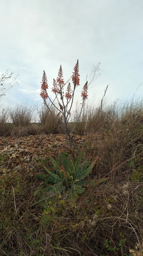
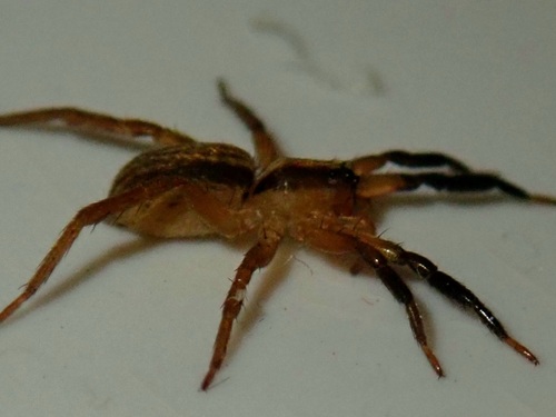
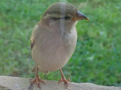
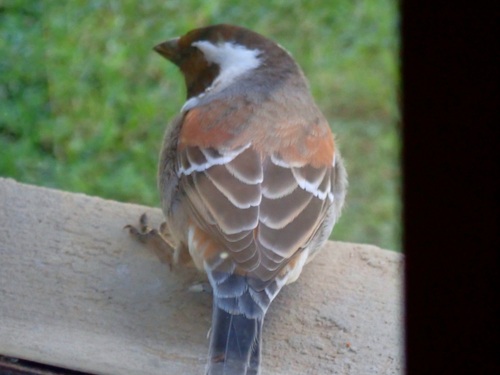
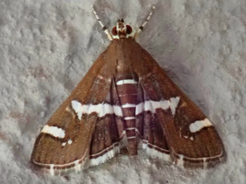
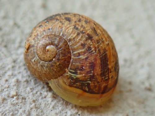
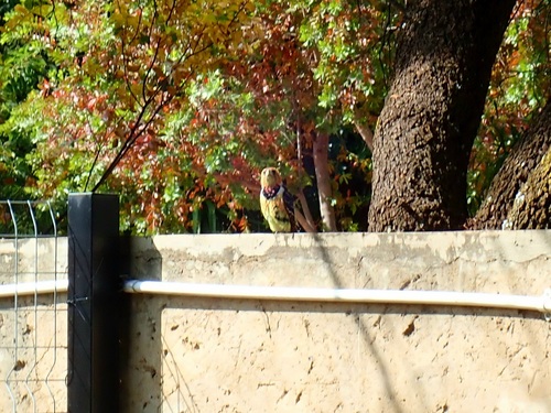
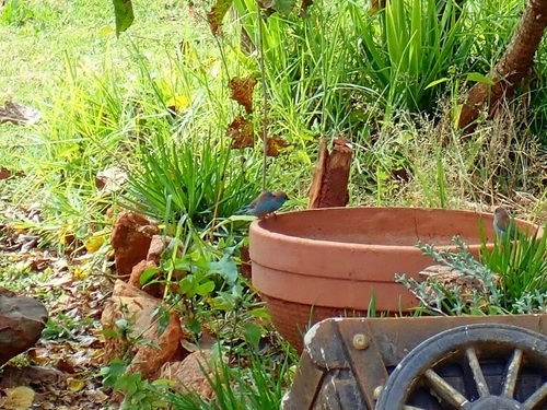
Research-grade observations from iNaturalist (within ~15 mi).
Events
Gallery
Geotagged photos within ~6 miles of Klerksdorp, from Wikimedia Commons contributors.
 0.3 mi
 0.3 mi
 0.3 mi
.jpg) 1.4 mi
1.4 mi.jpg) 1.4 mi
1.4 mi.jpg) 1.6 mi
1.6 mi.jpg) 1.6 mi
1.6 mi.jpg) 1.6 mi
1.6 mi.jpg) 1.6 mi
1.6 mi.jpg) 1.6 mi
1.6 mi.jpg) 1.6 mi
1.6 mi.jpg) 2.1 mi
2.1 mi 2.5 mi
 2.5 mi
 2.6 mi
 2.6 mi
 4.8 mi
 4.8 mi
 4.8 mi
 5.6 mi
 5.6 mi
 5.6 mi
 5.6 mi
 5.6 mi
Photos via Wikimedia Commons — see each image page for license & attribution.
Sources
- • Wikipedia
- • Open-Meteo (ERA5 reanalysis)
- • Wikimedia Commons
- • Wikidata
- • Open-Meteo Air Quality (CAMS)
- • USGS Earthquake Catalog (global feed)
- • GBIF (Global Biodiversity Information Facility)
- • iNaturalist
- • Open-Elevation
- • Open-Meteo / sunrise-sunset.org
- • Wikipedia Pageviews API