Browse / South Africa / Mpumalanga / Komatipoort
Komatipoort
Mpumalangatown

Komatipoort
Total population
4,683
Founded
1874
Air quality index
Demographic figures from Statistics South Africa. Overview below cites Wikipedia and may reference a different year.
City facts
Facts from Wikidata (CC0).
Overview
Komatipoort is a town situated at the confluence of the Crocodile and Komati Rivers in Mpumalanga province, South Africa. The town is 8 km from the Crocodile Bridge Gate into the Kruger National Park, just 3 km from the Mozambique border and 65 km from the Eswatini border.
Read more on WikipediaHistory & geography
History
'Komati' also takes its name from Khoekhoe, one of RSA's first languages, referring to the once wealthy cattle owners on this land, with 'koma' meaning cows and 'ti' meaning my. 'Komati' takes its name from the Komati River whose original native Swazi name is Nkomazi, translated as "river of cows". It is where the Crocodile and Komati Rivers meet to flow through the 'Poort' (mountain pass) through the Lebombo Mountains into Mozambique. In the 1890s Komatipoort was a wild and uproarious construction camp for the railway being built from Lourenco Marques (modern Maputo). Conditions were not the best with the area gripped by a malaria epidemic; it was in the zone called 'fever country'. Komatipoort was the last stop in the South African Republic (ZAR) Pretoria - Delagoa Bay Line constructed by the Netherlands-South African Railway Company (NZASM) with the first train crossing the border at Komatipoort from the ZAR to Portuguese East Africa on 1 July 1891 after the completion of the rail bridge over the Komati River. Between 1900 and 1902 during the Anglo/Boer War, the town was used as a base by Major F. Von Steinaecker and his group known as 'Steinaecker's Horse'. They were a bunch of mercenaries and bushwhackers and were recruited by the British in order to fight Boer guerrillas in the bushveld. Near Komatipoort is the site where the former Mozambique's President Samora Machel died in a plane crash at Mbuzini village in the Lebombo mountain, the natural barrier between South Africa and Mozambique. At the site of the accident stands the Samora Machel Monument. The Nkomati Accord was signed in Komatipoort in 1984.
Excerpted from the corresponding Wikipedia article (CC BY-SA).
Geography
Coordinates & boundaries from the US Census TIGER/Line shapefiles.
Climate
Air quality
Current readings from Open-Meteo Air Quality API (Copernicus CAMS European reanalysis).
Walkability
Amenities nearby
Wildlife & biodiversity
Most-observed species
- Egyptian GooseAlopochen aegyptiaca (Linnaeus, 1766) · Aves2,307
- Blacksmith LapwingVanellus armatus (Burchell, 1822) · Aves2,030
- Fork-tailed DrongoDicrurus adsimilis (Bechstein, 1794) · Aves1,881
- Hadada IbisBostrychia hagedash (Latham, 1790) · Aves1,843
- Laughing DoveSpilopelia senegalensis (Linnaeus, 1766) · Aves1,756
- Helmeted GuineafowlNumida meleagris (Linnaeus, 1758) · Aves1,713
- Black-backed PuffbackDryoscopus cubla (Latham, 1802) · Aves1,647
- Ring-necked DoveStreptopelia capicola (Sundevall, 1857) · Aves1,601
Citizen-science & research observations from the Global Biodiversity Information Facility (GBIF).
Earthquake history
Events from the USGS Earthquake Catalog (global) (FDSN Event Web Service).
Photos
Sights & places nearby
Notable people from here
Nearby places in Mpumalanga
- Shishangeni Private Lodge3.3 mi away
- Crocodile Bridge Rest Camp6.4 mi away
- Marloth Park12.4 mi away
- Albertsnek15.8 mi away
- Brink16 mi away
- Hectorspruit17 mi away
- Naas17.5 mi away · pop. 2,637
- KaMaqhekeza17.6 mi away · pop. 21,192
- Lukimbi Safari Lodge17.6 mi away
- Biyamiti Bushveld Camp17.6 mi away
- Mdladla20.4 mi away
- Steenbok21 mi away
Geography & sun
Elevation, sunrise/sunset and daylight from Open-Meteo. Solar climatology from NASA POWER.
Nearby airports
Public attention
Pageview totals from the Wikimedia Pageviews API.
Books about this place
Recent natural events nearby
Ground air-quality sensors
Recently spotted species
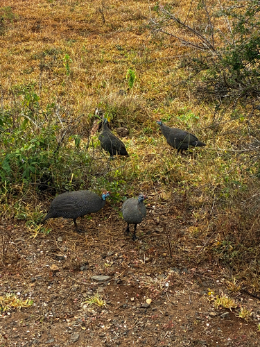
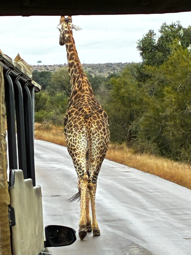
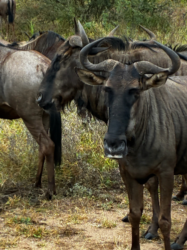
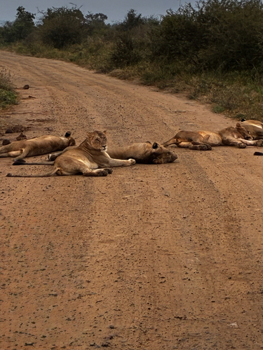
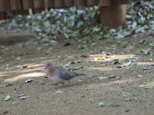
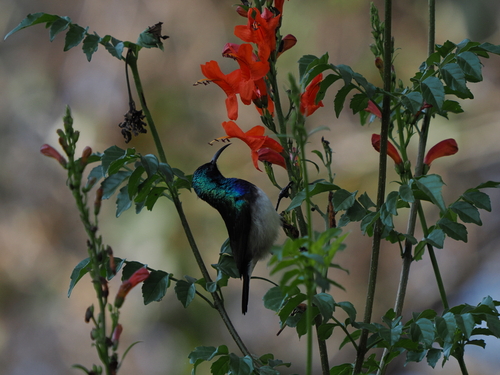
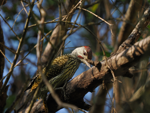
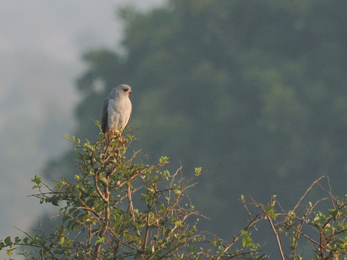
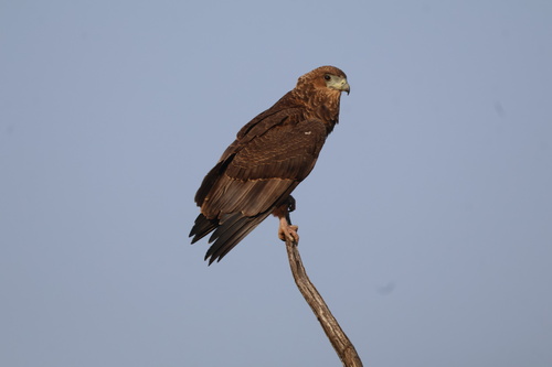
Research-grade observations from iNaturalist (within ~15 mi).
Events
Gallery
Geotagged photos within ~6 miles of Komatipoort, from Wikimedia Commons contributors.
 0.9 mi
 1 mi
1 mi 1 mi
1 mi 1 mi
1 mi 1.2 mi
 1.2 mi
.jpg) 2.2 mi
2.2 mi 4.2 mi
 4.2 mi
 4.2 mi
 4.2 mi
 4.2 mi
 4.2 mi
 5.4 mi
 5.4 mi
 5.4 mi
 5.8 mi
 5.8 mi
 5.8 mi
Photos via Wikimedia Commons — see each image page for license & attribution.
Sources
- • Wikipedia
- • Wikimedia Commons
- • Wikidata
- • Open-Meteo Air Quality (CAMS)
- • USGS Earthquake Catalog (global feed)
- • GBIF (Global Biodiversity Information Facility)
- • iNaturalist
- • Open-Meteo / sunrise-sunset.org
- • Wikipedia Pageviews API