Browse / South Africa / KwaZulu-Natal / Mabibi
Mabibi
KwaZulu-Natalvillage
Air quality index
Demographic figures from Statistics South Africa. Overview below cites Wikipedia and may reference a different year.
City facts
Overview
Set in KwaZulu-Natal, South Africa, Mabibi is recorded in open geodata as a village. Up-to-date population figures for this locality are not available in the open datasets we monitor. On the world map it falls within the Eastern Hemisphere, specifically at -27.329°, 32.730°. Local weather statistics describe average highs near 78.3°F and lows near 67.8°F, alongside about 40.3 in of annual precipitation (a moderate total). Its latitude implies a climate characterised by hot summers and mild winters typical of the subtropics. Open solar datasets indicate about 1,758 kWh/m² of solar irradiance per year, combined with sunshine for roughly 69% of daylight hours. Read on for charts and tables covering demographics, climate, hazards, schools, wildlife and other open-data indicators for Mabibi.
Summary composed automatically from structured open data on this page. See our Terms for details.
History & geography
Geography
Coordinates & boundaries from the US Census TIGER/Line shapefiles.
Climate
10-year averages from ERA5 reanalysis (Open-Meteo).
Air quality
Current readings from Open-Meteo Air Quality API (Copernicus CAMS European reanalysis).
Walkability
Amenities nearby
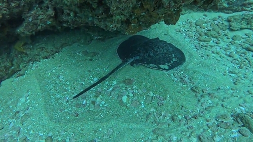
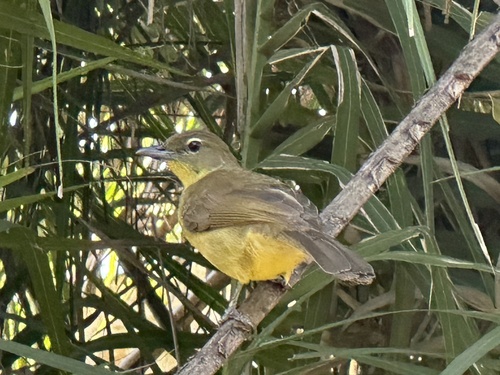
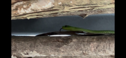
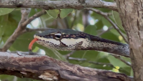
Wildlife & biodiversity
Most-observed species
- Sombre GreenbulAndropadus importunus (Vieillot, 1818) · Aves130
- Cattle EgretBubulcus ibis (Linnaeus, 1758) · Aves95
- Barn SwallowHirundo rustica Linnaeus, 1758 · Aves95
- Southern FiscalLanius collaris Linnaeus, 1766 · Aves90
- Red-eyed DoveStreptopelia semitorquata (Rüppell, 1837) · Aves90
- Green-backed CamaropteraCamaroptera brachyura (Vieillot, 1821) · Aves87
- Yellow-throated LongclawMacronyx croceus (Vieillot, 1816) · Aves82
- Black-backed PuffbackDryoscopus cubla (Latham, 1802) · Aves80
Citizen-science & research observations from the Global Biodiversity Information Facility (GBIF).
Earthquake history
Events from the USGS Earthquake Catalog (global) (FDSN Event Web Service).
Photos
Sights & places nearby
Notable people from here
Nearby places in KwaZulu-Natal
Geography & sun
Elevation, sunrise/sunset and daylight from Open-Meteo. Solar climatology from NASA POWER.
Nearby airports
Public attention
Books about this place
Recent natural events nearby
Ground air-quality sensors
Recently spotted species
Research-grade observations from iNaturalist (within ~15 mi).
Events
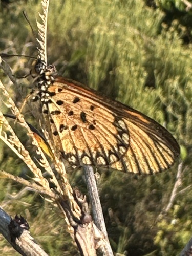
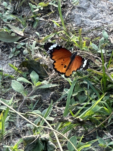
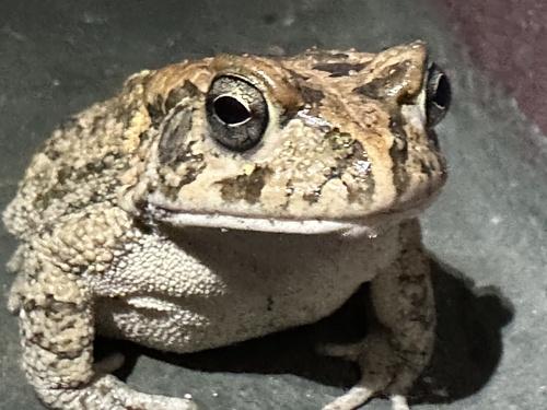
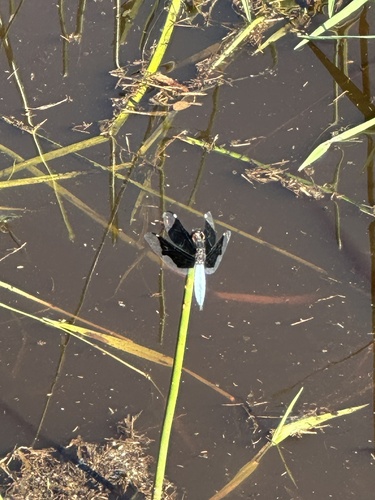
Gallery
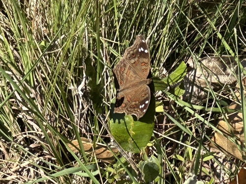
Geotagged photos within ~6 miles of Mabibi, from Wikimedia Commons contributors.
 0.5 mi
 0.7 mi
 0.7 mi
.jpg) 0.7 mi
0.7 mi.jpg) 0.7 mi
0.7 mi.jpg) 0.7 mi
0.7 mi.jpg) 0.7 mi
0.7 mi.jpg) 0.9 mi
0.9 mi 1 mi
1 mi 1.1 mi
.jpg) 1.2 mi
1.2 mi_underside.jpg) 1.3 mi
1.3 mi.jpg) 1.3 mi
1.3 mi_in_flight.jpg) 1.3 mi
1.3 mi_female_underside_2.jpg) 1.3 mi
1.3 mi_female_underside.jpg) 1.3 mi
1.3 mi_female.jpg) 1.3 mi
1.3 mi_in_flight.jpg) 1.3 mi
1.3 mi_male_underside.jpg) 1.3 mi
1.3 mi_male_worn.jpg) 1.3 mi
1.3 mi_male.jpg) 1.3 mi
1.3 mi_carton_nest.jpg) 1.3 mi
1.3 mi_nest.jpg) 1.3 mi
1.3 mi.jpg) 1.3 mi
1.3 miPhotos via Wikimedia Commons — see each image page for license & attribution.
Sources
- • Open-Meteo (ERA5 reanalysis)
- • Wikimedia Commons
- • Wikidata
- • Open-Meteo Air Quality (CAMS)
- • USGS Earthquake Catalog (global feed)
- • GBIF (Global Biodiversity Information Facility)
- • iNaturalist
- • Open-Meteo / sunrise-sunset.org