Browse / South Africa / Eastern Cape / Mahlubini
Mahlubini
Eastern Capevillage
Air quality index
Demographic figures from Statistics South Africa. Overview below cites Wikipedia and may reference a different year.
City facts
Overview
Situated in Eastern Cape, South Africa, Mahlubini is a village. Detailed population figures are not currently catalogued in the open data sources we track. The settlement sits at -30.586°, 27.277°, a warm-temperate location in the southern hemisphere. Meteorological summaries report average highs near 70.8°F and lows near 46.8°F, together with about 39.2 in of annual precipitation (a moderate total). The location receives about 2,037 kWh/m² of solar irradiance per year and sunshine for roughly 80% of daylight hours. Based on its warm temperate position, residents likely encounter warm summers and cool winters. Open-data panels below dive into population trends, climate normals, environmental indicators and nearby places.
Summary composed automatically from structured open data on this page. See our Terms for details.
History & geography
Geography
Coordinates & boundaries from the US Census TIGER/Line shapefiles.
Climate
10-year averages from ERA5 reanalysis (Open-Meteo).
Air quality
Current readings from Open-Meteo Air Quality API (Copernicus CAMS European reanalysis).
Walkability
Amenities nearby
Wildlife & biodiversity
Most-observed species
- Southern FiscalLanius collaris Linnaeus, 1766 · Aves8
- Broom KareeSearsia erosa (Thunb.) Moffett · Magnoliopsida8
- Hermannia coccocarpa (Eckl. & Zeyh.) KuntzeHermannia coccocarpa (Eckl. & Zeyh.) Kuntze · Magnoliopsida8
- Cheilanthes eckloniana (Kunze) Mett.Cheilanthes eckloniana (Kunze) Mett. · Polypodiopsida7
- Hadada IbisBostrychia hagedash (Latham, 1790) · Aves7
- Red-winged StarlingOnychognathus morio (Linnaeus, 1766) · Aves7
- Black-fronted BulbulPycnonotus nigricans (Vieillot, 1818) · Aves6
- Speckled PigeonColumba guinea Linnaeus, 1758 · Aves6
Citizen-science & research observations from the Global Biodiversity Information Facility (GBIF).
Earthquake history
Most recent
- M 4.3 — 2002-01-2725 km S of Nako, Lesotho
Events from the USGS Earthquake Catalog (global) (FDSN Event Web Service).
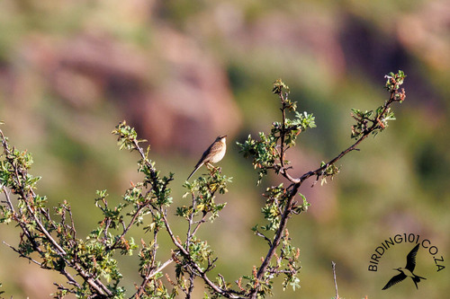
Photos
Sights & places nearby
Notable people from here
Nearby places in Eastern Cape
Geography & sun
Elevation, sunrise/sunset and daylight from Open-Meteo. Solar climatology from NASA POWER.
Nearby airports
Public attention
Books about this place
Recent natural events nearby
Ground air-quality sensors
Recently spotted species
Research-grade observations from iNaturalist (within ~15 mi).
Events
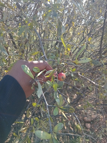
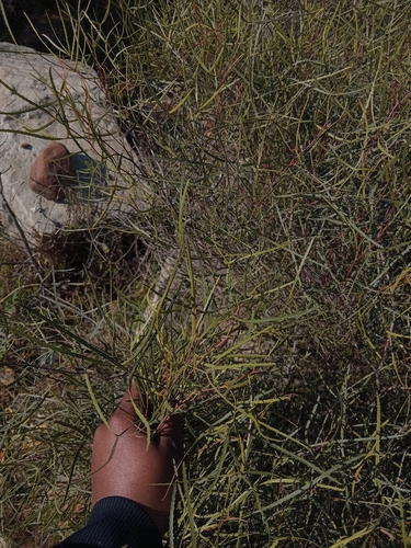
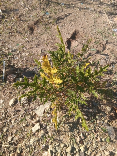
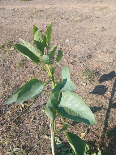
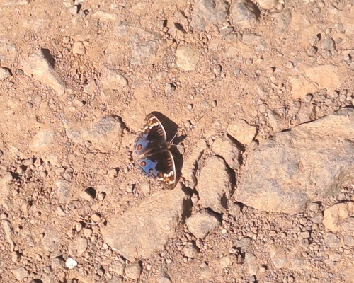
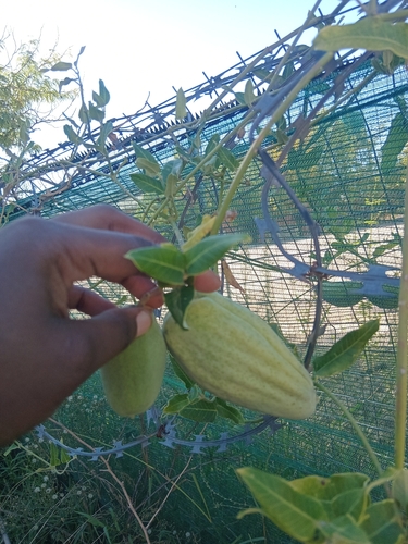
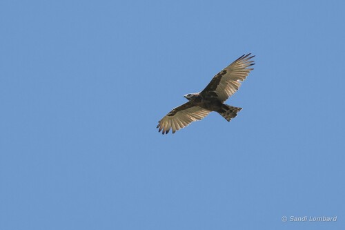
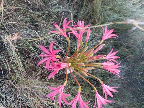
Gallery
Geotagged photos within ~6 miles of Mahlubini, from Wikimedia Commons contributors.


Photos via Wikimedia Commons — see each image page for license & attribution.
Sources
- • Open-Meteo (ERA5 reanalysis)
- • Wikimedia Commons
- • Wikidata
- • Open-Meteo Air Quality (CAMS)
- • USGS Earthquake Catalog (global feed)
- • GBIF (Global Biodiversity Information Facility)
- • iNaturalist
- • Open-Elevation
- • Open-Meteo / sunrise-sunset.org