Browse / South Africa / Limpopo / Modimolle
Modimolle
Limpopotown
Total population
8,671
Demographic figures from Statistics South Africa. Overview below cites Wikipedia and may reference a different year.
City facts
Facts from Wikidata (CC0).
Overview
Modimolle, also known as Nylstroom, is a town located near the southern edge of the Waterberg Massif in Limpopo province, South Africa. It is a medium-sized town that focuses primarily on agriculture and farming as well as wildlife and tourism. Nylstroom is also located approximately 135 kilometres north of Pretoria, South Africa's capital city.
Read more on WikipediaHistory & geography
History
In the 1860s, a group of Voortrekkers known as the Jerusalem Trekkers set off for the Holy Land. After discovering a wide river flowing northwards, they consulted the maps at the back of their Bibles and decided that it was the Nylrivier (Nile river). They called the stream Nyl River and settled the town and called it Nylstroom in 1866. After discovering what they believed to be a ruined pyramid, they were convinced that they had found the Nile. It was in fact, a natural hillock, known to the locals as Modimolle. In March 1866, the district of Waterberg was created out of some of the districts of Rustenburg and Zoutpansberg with a landdrost established in Nylstroom. A Dutch Reformed Church was built in 1889 and is the oldest church in South Africa north of Pretoria. It was also used as a hospital during the Second Boer War. The river is the Nyl River, a tributary of the Mogalakwena River. The first South African railway line reached Modimolle in 1898, connecting the town to Pretoria. During the Second Boer War, the British government operated a concentration camp in Modimolle, where Boer women and children where interned as part of the Lord Kitchener's scorched earth policy. 544 of those interned at the camp died of various causes before it was closed upon the conclusion of the war in 1902. Strijdom Huis (Strijdom House) was the primary residence of the 6th Prime Minister of South Africa, JG Strijdom, and is situated in Modimolle. The South African government officially changed the name of the town to Modimolle in 2002. The name comes from the Sotho-Tswana phrase, Modimo o lle, meaning "the forefather's spirit has eaten", or "God has eaten". Other numerous name changes include the renaming of both a municipal building and the town hall after Oliver Tambo, the…
Excerpted from the corresponding Wikipedia article (CC BY-SA).
Geography
Coordinates & boundaries from the US Census TIGER/Line shapefiles.
Climate
Air quality
Walkability
Amenities nearby
Wildlife & biodiversity
Most-observed species
- Laughing DoveSpilopelia senegalensis (Linnaeus, 1766) · Aves1,614
- Gray Go-away-birdCorythaixoides concolor (A.Smith, 1833) · Aves1,543
- Fork-tailed DrongoDicrurus adsimilis (Bechstein, 1794) · Aves1,513
- Red-eyed DoveStreptopelia semitorquata (Rüppell, 1837) · Aves1,511
- Dark-capped BulbulPycnonotus tricolor (Hartlaub, 1862) · Aves1,499
- Hadada IbisBostrychia hagedash (Latham, 1790) · Aves1,425
- Arrow-marked BabblerTurdoides jardineii (A.Smith, 1836) · Aves1,405
- Black-collared BarbetLybius torquatus (Dumont, 1805) · Aves1,392
Citizen-science & research observations from the Global Biodiversity Information Facility (GBIF).
Earthquake history
Most recent
- M 4.8 — 2013-12-0233 km SE of Modimolle, South Africa
- M 4.2 — 2013-06-2226 km ESE of Thabazimbi, South Africa
Events from the USGS Earthquake Catalog (global) (FDSN Event Web Service).
Photos
Sights & places nearby
Notable people from here


People born within ~10 km, from Wikidata (CC0). Click any name for their Wikipedia article.
Nearby places in Limpopo
Geography & sun
Elevation, sunrise/sunset and daylight from Open-Meteo. Solar climatology from NASA POWER.
Nearby airports
Public attention
Pageview totals from the Wikimedia Pageviews API.
Books about this place
Recent natural events nearby
Ground air-quality sensors
Recently spotted species
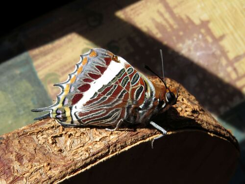
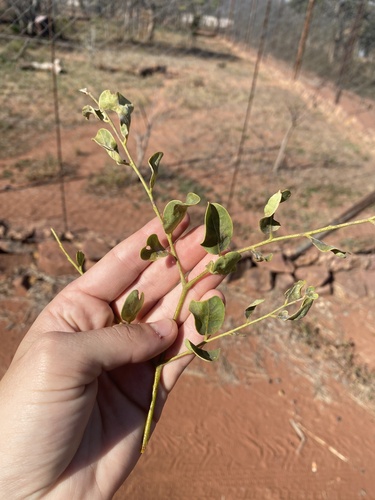
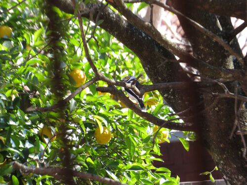
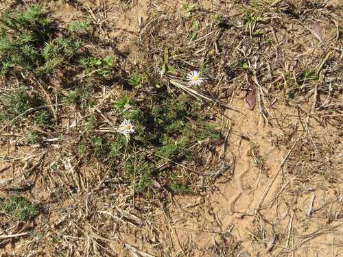
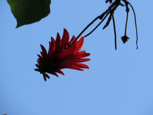
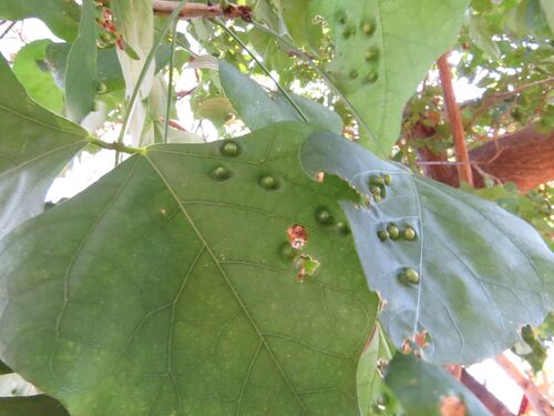
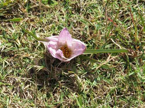
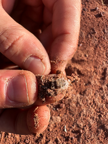
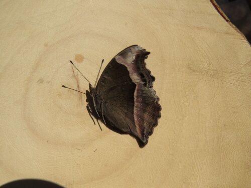
Research-grade observations from iNaturalist (within ~15 mi).
Events
Gallery
Geotagged photos within ~6 miles of Modimolle, from Wikimedia Commons contributors.
 1.4 mi
 1.4 mi
 1.4 mi
 1.4 mi
 1.4 mi
 1.4 mi
 1.4 mi
 1.4 mi
 1.4 mi
 1.4 mi
 1.4 mi
 1.7 mi
 1.7 mi
 1.7 mi
 2.1 mi
.jpg) 2.1 mi
2.1 mi.jpg) 2.1 mi
2.1 mi.jpg) 2.1 mi
2.1 mi 4.5 mi
 4.7 mi
 4.7 mi
 5.7 mi
Photos via Wikimedia Commons — see each image page for license & attribution.
Sources
- • Wikipedia
- • Wikimedia Commons
- • Wikidata
- • USGS Earthquake Catalog (global feed)
- • GBIF (Global Biodiversity Information Facility)
- • iNaturalist
- • Open-Meteo / sunrise-sunset.org
- • Wikipedia Pageviews API