Browse / South Africa / KwaZulu-Natal / Mpumalanga
Mpumalanga
KwaZulu-Nataltown
Total population
193,058
Air quality index
Demographic figures from Statistics South Africa. Overview below cites Wikipedia and may reference a different year.
City facts
Facts from Wikidata (CC0).
Overview
Mpumalanga, also widely known as Hammarsdale, is a township located in the eThekwini Metropolitan Municipality in the KwaZulu-Natal province of South Africa. It is situated some 10 km south-south-east of Cato Ridge and some 50 km west of Durban. Derived from Zulu, the name means 'sunrise', 'the sun comes out'.
Read more on WikipediaHistory & geography
Geography
Mpumalanga forms the easternmost boundary of the eThekwini Metropolitan Municipality (Greater Durban region) with the adjoining Mkhambathini Local Municipality in the uMgungundlovu District along with Cato Ridge to the north. Mpumalanga lies within the hilly region between Durban and Pietermaritzburg known as the Valley of a Thousand Hills and is located north of the uMlazi River. Mpumalanga spans an extensive area of 21,66 km2 and is largely subdivided into multi-sections primarily in the form of letters from A to H as well as other areas with names such as Elangeni, Hammars Estate, Mpumalanga East and Zamani. The nearest regional urban centre to Mpumalanga is Pinetown, located approximately 35 kilometres to the east while Pietermaritzburg, approximately 39 kilometres to the north-west also serves as an urban centre to Mpumalanga as opposed to the larger city of Durban which is considerably further. Other neighbouring towns include Cato Ridge (10 km), Camperdown (16 km) and Hillcrest (24 km).
Excerpted from the corresponding Wikipedia article (CC BY-SA).
Geography
Coordinates & boundaries from the US Census TIGER/Line shapefiles.
Climate
10-year averages from ERA5 reanalysis (Open-Meteo).
Air quality
Current readings from Open-Meteo Air Quality API (Copernicus CAMS European reanalysis).
Walkability
Amenities nearby
Wildlife & biodiversity
Most-observed species
- Hadada IbisBostrychia hagedash (Latham, 1790) · Aves2,892
- Red-eyed DoveStreptopelia semitorquata (Rüppell, 1837) · Aves2,685
- Village WeaverPloceus cucullatus (Statius Muller, 1776) · Aves2,256
- Cape White-eyeZosterops virens Sundevall, 1850 · Aves2,083
- Black-collared BarbetLybius torquatus (Dumont, 1805) · Aves2,067
- Red-winged StarlingOnychognathus morio (Linnaeus, 1766) · Aves2,059
- Egyptian GooseAlopochen aegyptiaca (Linnaeus, 1766) · Aves2,057
- Sombre GreenbulAndropadus importunus (Vieillot, 1818) · Aves1,991
Citizen-science & research observations from the Global Biodiversity Information Facility (GBIF).
Earthquake history
Most recent
- M 4.2 — 2019-10-3147 km NW of Port Shepstone, South Africa
- M 3.7 — 2016-02-06South Africa
Events from the USGS Earthquake Catalog (global) (FDSN Event Web Service).
Photos
Sights & places nearby
Notable people from here

People born within ~10 km, from Wikidata (CC0). Click any name for their Wikipedia article.
Nearby places in KwaZulu-Natal
Geography & sun
Elevation, sunrise/sunset and daylight from Open-Meteo. Solar climatology from NASA POWER.
Nearby airports
Public attention
Pageview totals from the Wikimedia Pageviews API.
Books about Mpumalanga
Search results from Open Library.
Recent natural events nearby
Ground air-quality sensors
Recently spotted species
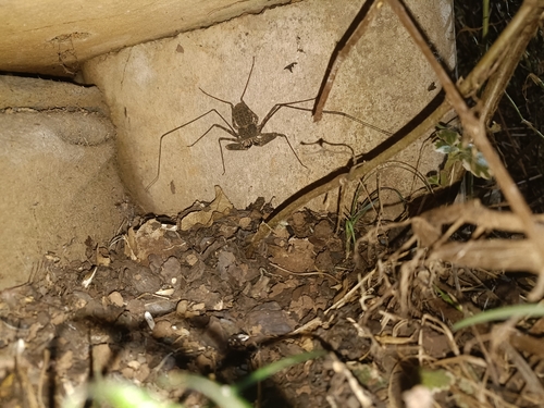
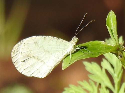
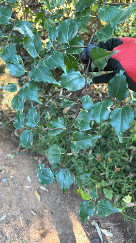
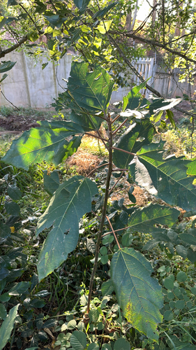
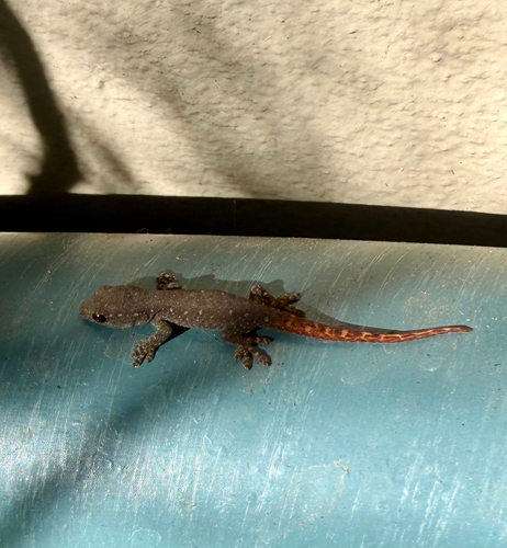
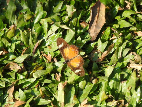
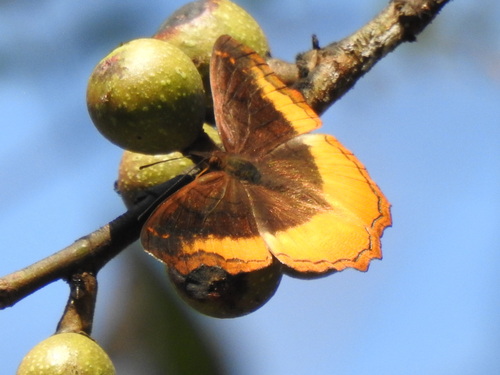
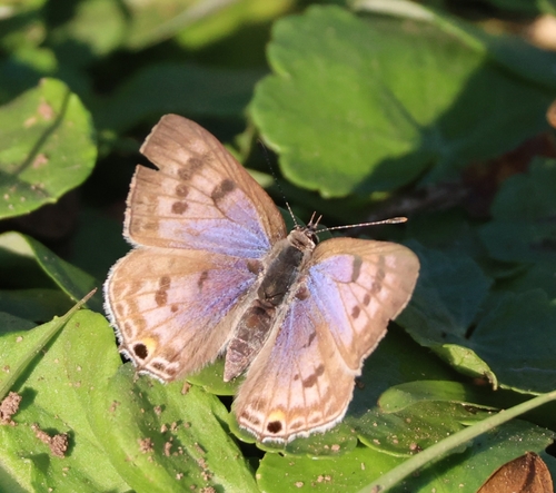
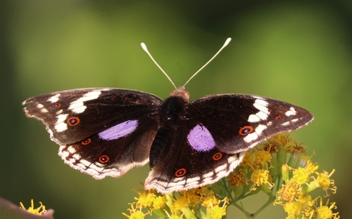
Research-grade observations from iNaturalist (within ~15 mi).
Events
Gallery
Geotagged photos within ~6 miles of Mpumalanga, from Wikimedia Commons contributors.
.jpg)


.jpg)
Photos via Wikimedia Commons — see each image page for license & attribution.
Sources
- • Wikipedia
- • Open-Meteo (ERA5 reanalysis)
- • Wikimedia Commons
- • Wikidata
- • Open-Meteo Air Quality (CAMS)
- • USGS Earthquake Catalog (global feed)
- • GBIF (Global Biodiversity Information Facility)
- • iNaturalist
- • Open-Elevation
- • Open-Meteo / sunrise-sunset.org
- • Wikipedia Pageviews API
- • Open Library