Browse / South Africa / Eastern Cape / Mthatha
Mthatha
Eastern Capecity

Mthatha
Total population
210,783
Founded
1876
Air quality index
Demographic figures from Statistics South Africa. Overview below cites Wikipedia and may reference a different year.
City facts
Facts from Wikidata (CC0).
Overview
Mthatha, alternatively rendered Umtata, is the main city of the King Sabata Dalindyebo Local Municipality in Eastern Cape province of South Africa and the capital of OR Tambo District Municipality. The city has an airport, previously known as the K. D. Matanzima Airport after former leader Kaiser Matanzima. Mthatha derives its name from the nearby Mthatha River which was named after the sneezewood (umtati) trees, famous for their wood and medicinal properties.
Read more on WikipediaHistory & geography
History
The settlement existed in the 1870s as a buffer-zone, in response to reported tensions between Mpondo and neighbouring Thembu groups, and in 1875 a magistrate's office was opened. The first magistrate, appointed that year, was a man named J F Boyes. The settlement developed during the next few years, becoming a military post for the British colonial forces in 1882. The town itself was founded in 1883, along the banks of the Mthatha River. Nearly a century later, the Mthatha Dam was constructed about eight kilometers upstream of the town. Mthatha became the leading administrative centre of the area, having both Anglican and Catholic cathedrals. The town became the headquarters of the Transkeian Territories General Council (known as the Bunga), and the building which served as a parliament was erected in 1903. This was followed by the construction of the town hall in 1908. A branch of the University of Fort Hare was established in the town, and after the independence of the Transkei in 1977 it became the University of Transkei. In 2005, the University of Transkei with the Border Technikon and Eastern Cape Technikon were merged to form the Walter Sisulu University for Technology and Science. The campus was the base for the region's first community radio station, UCRFM, which started in 1996 and has become a significant community broadcaster. On 1 August 1973, Mthatha High Court was opened. In 1973, a summit meeting of the black homeland leaders was held at Umtata, when they decided to federate their respective states after independence. In 1976, Transkei was granted independence as a bantustan, a nominally independent state not recognised outside South Africa. Mthatha served as the capital under the name "Umtata". Under the Transkei regime, an airport named after the…
Excerpted from the corresponding Wikipedia article (CC BY-SA).
Geography
Coordinates & boundaries from the US Census TIGER/Line shapefiles.
Climate
Air quality
Current readings from Open-Meteo Air Quality API (Copernicus CAMS European reanalysis).
Walkability
Amenities nearby
Wildlife & biodiversity
Most-observed species
- Tree tobacco, Wild tobacco tree, Earleaf nightshade, Woolly nightshade, Bugweed, Tobacco weed, Tobacco bush, Wild tobacco, Kerosene plant, Wild tobacco bush, Wild tobacco plantSolanum mauritianum Scop. · Magnoliopsida73
- Black wattleAcacia mearnsii De Wild. · Magnoliopsida34
- Cattle EgretBubulcus ibis (Linnaeus, 1758) · Aves21
- Chinaberry tree, Pride of India, Bead-tree, Cape lilac, Syringa berrytree, Persian lilac, Indian lilacMelia azedarach L. · Magnoliopsida21
- Castor-oil-PlantRicinus communis L. · Magnoliopsida19
- NightshadeSolanum chrysotrichum Schltdl. · Magnoliopsida18
- Yellow bellsTecoma stans (L.) Juss. ex Kunth · Magnoliopsida18
- Largeleaf LantanaLantana camara L. · Magnoliopsida17
Citizen-science & research observations from the Global Biodiversity Information Facility (GBIF).
Earthquake history
Events from the USGS Earthquake Catalog (global) (FDSN Event Web Service).
Photos
Sights & places nearby
Notable people from here


People born within ~10 km, from Wikidata (CC0). Click any name for their Wikipedia article.
Nearby places in Eastern Cape
Geography & sun
Elevation, sunrise/sunset and daylight from Open-Meteo. Solar climatology from NASA POWER.
Nearby airports
Public attention
Pageview totals from the Wikimedia Pageviews API.
Books about this place
Recent natural events nearby
Ground air-quality sensors
Recently spotted species
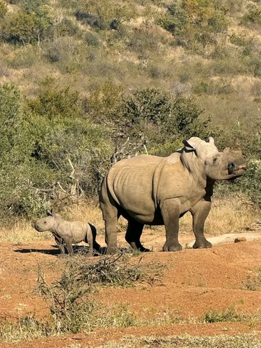
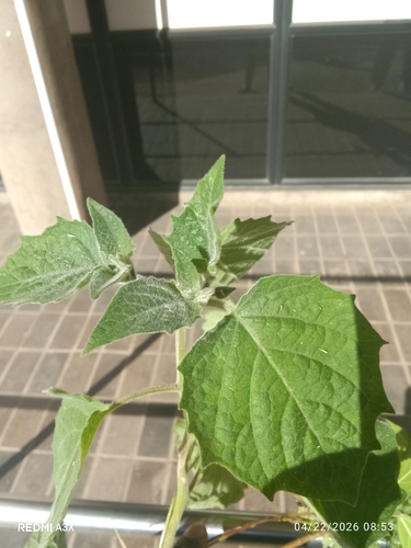
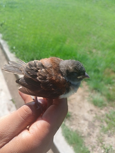
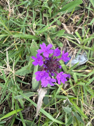
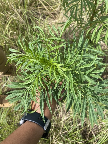
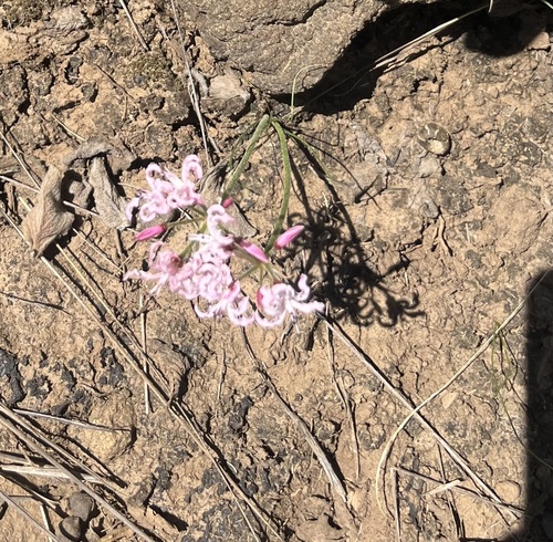
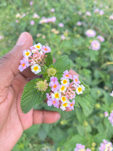
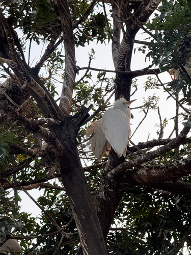
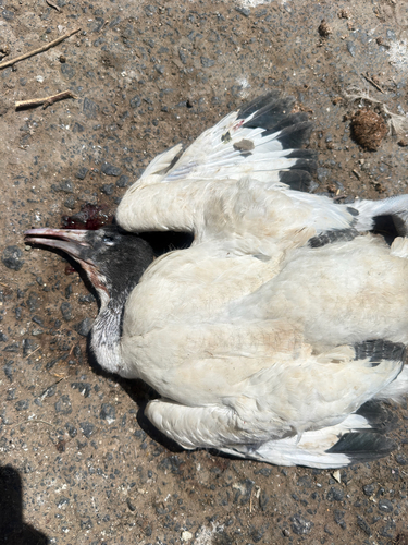
Research-grade observations from iNaturalist (within ~15 mi).
Events
Gallery
Geotagged photos within ~6 miles of Mthatha, from Wikimedia Commons contributors.


-Dia_298-05971.jpg)
-Dia_298-05971_(cropped).jpg)

Photos via Wikimedia Commons — see each image page for license & attribution.
Sources
- • Wikipedia
- • Wikimedia Commons
- • Wikidata
- • Open-Meteo Air Quality (CAMS)
- • USGS Earthquake Catalog (global feed)
- • GBIF (Global Biodiversity Information Facility)
- • iNaturalist
- • Open-Meteo / sunrise-sunset.org
- • Wikipedia Pageviews API