Browse / South Africa / KwaZulu-Natal / Newcastle
Newcastle
KwaZulu-Natalcity

Newcastle
Total population
363,236
Founded
1864
Demographic figures from Statistics South Africa. Overview below cites Wikipedia and may reference a different year.
City facts
Facts from Wikidata (CC0).
Overview
Newcastle is the third-largest city in the province of KwaZulu-Natal, South Africa and is the province's industrial centre. The city has four industrial areas. The majority of its citizens reside in Newcastle East in the main townships of Madadeni and Osizweni, with the balance residing in Newcastle West. Set at the foothills of the northern KwaZulu-Natal Drakensberg Mountains, Newcastle is located in the northwest corner of the province along the Ncandu River.
Read more on WikipediaHistory & geography
History
Newcastle has changed names on numerous occasions during the country's historic rule. It was initially named Post Halt Number 2 on military maps during the 1840s, as postal coaches stopped here to obtain fresh horses on the journey between Durban (then Port Natal in Zuid-Afrikaansche Republiek) and Johannesburg. It was later known as the Waterfall River Township because of the Ncandu River. Newcastle was named after the British Colonial Secretary, the fifth Duke of Newcastle, a British aristocrat, and not the city in England as some believe. On 14 October 1899, during the Anglo-Boer War, Newcastle was invaded by Boer forces, and the entire district was incorporated into the Transvaal Republic. After seven months it was renamed Viljoensdorp, after the commander of the Johannesburg Commando, General Ben Viljoen. However, after relief of Ladysmith under the command of General Redver Buller, the British forces reclaimed the name Newcastle. Newcastle (then Post Halt Number 2) was strategically situated in 1854 by the Surveyor-General of the Natal Colony, Dr. P.C. Sutherland on the banks of the flooded Ncandu River. In 1864, Newcastle was founded on the site, becoming the fourth settlement to be established in Natal after Durban, Weenen and Pietermaritzburg. In 1876, Fort Amiel was constructed to ward off the Zulus during the war, and in 1873 Newcastle became a separate electoral division. To commemorate Queen Victoria's Diamond Jubilee (60th anniversary), the construction of a sandstone town hall commenced in 1897, and was completed two years later. The town was used as a depot by the British during both the First and Second Boer War, and also functioned as a major transport junction and stopover for wagons and post chaises during the late 19th century. British…
Geography
Located at approximately above sea level, Newcastle is located in the northwest corner of the province of KwaZulu-Natal at the foothills of the northern Drakensberg mountains. The city has a temperate climate and is classified under the country's 'Cold Interior'. Temperatures in Newcastle often drop below freezing during the winter months, with snowfall often experienced at least twice a decade. Newcastle's summer temperatures have exceeded 40 degrees Celsius in the recent past due to the 2015 El Niño weather phenomenon, with the region experiencing drought conditions after 28 years.
Excerpted from the corresponding Wikipedia article (CC BY-SA).
Geography
Coordinates & boundaries from the US Census TIGER/Line shapefiles.
Climate
Air quality
Walkability
Amenities nearby
Wildlife & biodiversity
Most-observed species
- Cape WagtailMotacilla capensis Linnaeus, 1766 · Aves378
- Hadada IbisBostrychia hagedash (Latham, 1790) · Aves302
- Southern FiscalLanius collaris Linnaeus, 1766 · Aves297
- Ring-necked DoveStreptopelia capicola (Sundevall, 1857) · Aves267
- Southern Masked-WeaverPloceus velatus Vieillot, 1819 · Aves255
- Dark-capped BulbulPycnonotus tricolor (Hartlaub, 1862) · Aves244
- African StonechatSaxicola torquatus (Linnaeus, 1766) · Aves225
- Southern Anteater-ChatMyrmecocichla formicivora (Wilkes, 1817) · Aves223
Citizen-science & research observations from the Global Biodiversity Information Facility (GBIF).
Earthquake history
Events from the USGS Earthquake Catalog (global) (FDSN Event Web Service).
Photos
Sights & places nearby
Notable people from here


People born within ~10 km, from Wikidata (CC0). Click any name for their Wikipedia article.
Nearby places in KwaZulu-Natal
Geography & sun
Elevation, sunrise/sunset and daylight from Open-Meteo. Solar climatology from NASA POWER.
Nearby airports
Public attention
Pageview totals from the Wikimedia Pageviews API.
Books about Newcastle

Search results from Open Library.
Recent natural events nearby
Ground air-quality sensors
Recently spotted species
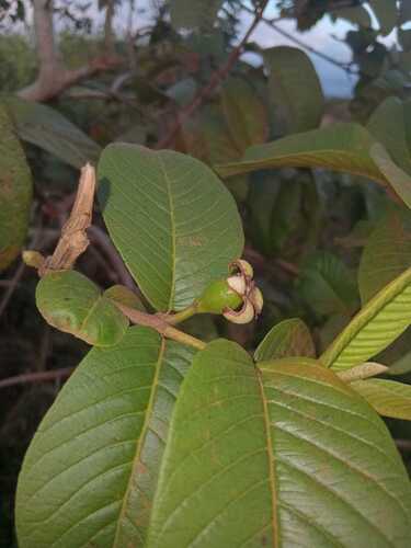
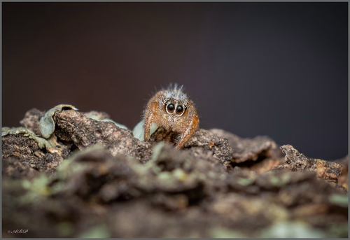
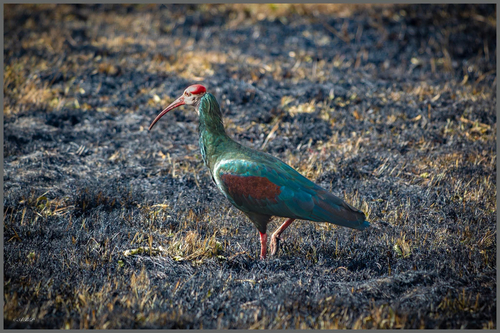
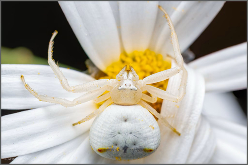
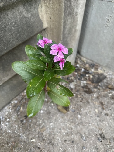
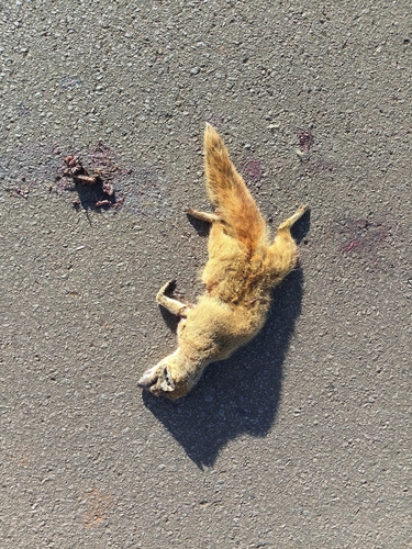
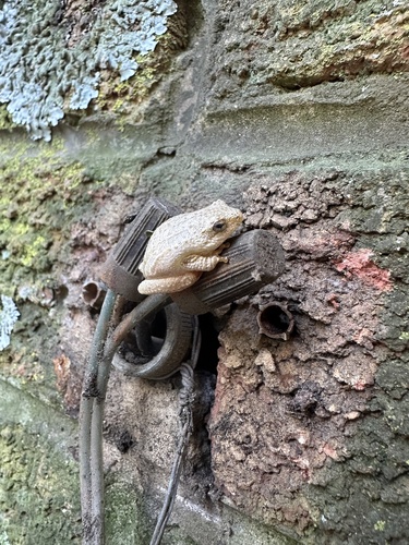
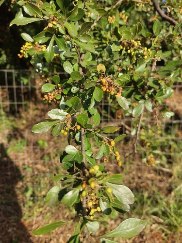
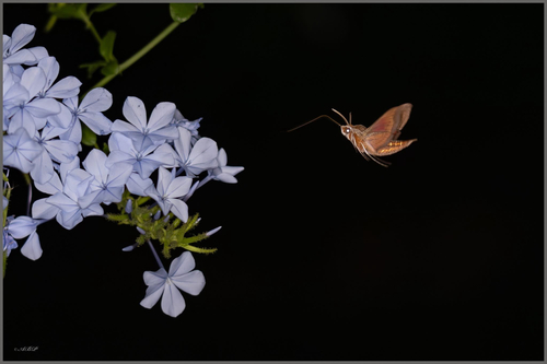
Research-grade observations from iNaturalist (within ~15 mi).
Events
Gallery
Geotagged photos within ~6 miles of Newcastle, from Wikimedia Commons contributors.


Photos via Wikimedia Commons — see each image page for license & attribution.
Sources
- • Wikipedia
- • Wikimedia Commons
- • Wikidata
- • USGS Earthquake Catalog (global feed)
- • GBIF (Global Biodiversity Information Facility)
- • iNaturalist
- • Open-Meteo / sunrise-sunset.org
- • Wikipedia Pageviews API
- • Open Library