Browse / South Africa / Free State / Sasolburg
Sasolburg
Free Statetown
Founded
1954
Demographic figures from Statistics South Africa. Overview below cites Wikipedia and may reference a different year.
City facts
Facts from Wikidata (CC0).
Overview
Sasolburg is a city in the Free State province of South Africa. The city is located in the northern part of the province and is the seat of the Metsimaholo Local Municipality.
Read more on WikipediaHistory & geography
History
The town was established in 1954 to provide housing and other facilities for Sasol employees. The initial installation (Sasol 1) was a pilot plant to refine oil from coal, due to the lack of petroleum reserves. The coal reserves of the country were and still are extensive. The political developments of the late 1960s and early 1970s (specifically the trade embargoes against the apartheid government) made the operation of the pilot plant a priority to the government. Plans were made for a production plant to be built in the Eastern Transvaal to produce approximately 25% of the national fuel requirements. The new town of Secunda was built to house the construction and operations staff of what became known as SASOL 2 and SASOL 3 (Secunda CTL). Sasol One was one of the first places to be designated as a National Key Point under the National Key Points Act, 1980, which legislation protected areas so designated from "loss, damage, disruption or immobilisation (that) may prejudice the Republic". January 8, 1977 – a 6.7 Ci (250 GBq) iridium-192 source fell out of its container at a construction site. The radiographer did not notice the loss of the source and left the site. A construction supervisor later picked up the source and placed it in his shirt pocket. He travelled home and placed the source in a cupboard. The source was recognized as lost two days later after workers were shown a replica and it was recovered the same day. The supervisor received a whole body dose of 116 rad (1.16 Gy) and required the amputation of two fingers. His wife and child received doses of 17 rad (0.17 Gy) and 10 rad (0.10 Gy) respectively. On 2 June 1980, Sasolburg was attacked by Umkhonto we Sizwe (MK), the African National Congress's (ANC) military wing. They bombed two strategically…
Geography
Sasolburg is at a high altitude with a fairly dry climate and large seasonal temperature variation. It is situated on the banks of the Vaal River, which separates the Free State from the former Transvaal Province, and is not far from the Vaal Dam where excellent windsurfing spots can be found.
Excerpted from the corresponding Wikipedia article (CC BY-SA).
Geography
Coordinates & boundaries from the US Census TIGER/Line shapefiles.
Climate
Air quality
Walkability
Amenities nearby
Wildlife & biodiversity
Earthquake history
Photos
Sights & places nearby
Notable people from here
Geography & sun
Nearby airports
Public attention
Books about this place
Recent natural events nearby
Ground air-quality sensors
Recently spotted species
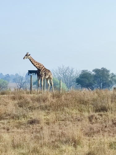
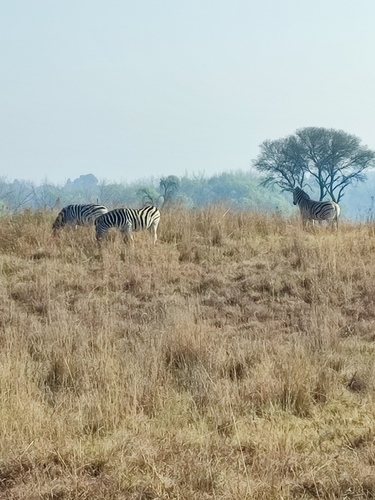
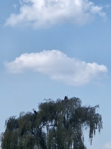
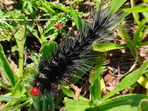
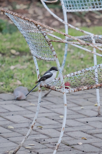
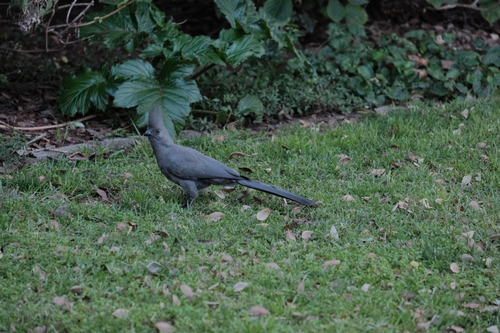
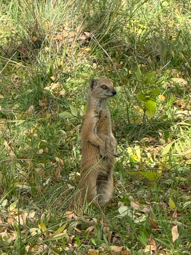
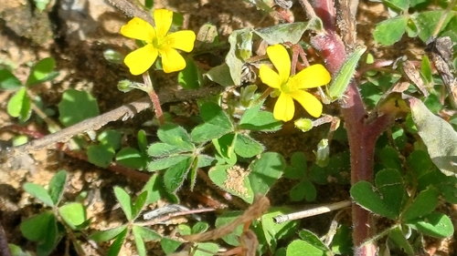
Research-grade observations from iNaturalist (within ~15 mi).
Events
Gallery
Geotagged photos within ~6 miles of Sasolburg, from Wikimedia Commons contributors.


Photos via Wikimedia Commons — see each image page for license & attribution.
Sources
- • Wikipedia
- • Wikimedia Commons
- • Wikidata
- • iNaturalist