Browse / South Africa / KwaZulu-Natal / Southbroom
Southbroom
KwaZulu-Natalvillage

Southbroom
Demographic figures from Statistics South Africa. Overview below cites Wikipedia and may reference a different year.
City facts
Overview
Southbroom is a coastal village on the South Coast of the KwaZulu-Natal province of South Africa situated approximately halfway between Port Shepstone – 23 km (14 mi) and Port Edward – 18 km (11 mi).
Read more on WikipediaHistory & geography
History
In 1884, a pioneer named Alfred Eyles established a mission on the site of the present day Outlook Farm. This is the earliest recorded settlement of Southbroom. In 1895, The Fascadale was wrecked on rocks off Southbroom beach while en route to Lisbon, Portugal, but the timely arrival of another vessel meant that only two people died. The name "Southbroom" was first associated with the area in 1908, when the Swedish Zulu Mission took over the mission from the Eyles family, who subsequently renamed their home "Southbroom"; a reference to a family home in their native England. Frank and Gilbert Eyles, the youngest sons of Alfred, proclaimed the township in 1933. In 1935, the Southbroom Hotel opened, with its tidal pool (known as Granny's Pool) opening two years later. The golf course was first opened in 1939, before being extended to a full 18 holes in 1948.
Geography
Southbroom is situated between Ramsgate to the north and Marina Beach to the south, and is bounded by the uMbizane River to the north and the Kaba River to the south. The 2011 census divided the main area of Southbroom into four “sub places”: Southbroom proper (pop. 878), Marina Beach (pop. 247), San Lameer (pop. 93) and Trafalgar (pop. 397).
Excerpted from the corresponding Wikipedia article (CC BY-SA).
Geography
Coordinates & boundaries from the US Census TIGER/Line shapefiles.
Climate
Air quality
Walkability
Amenities nearby
Wildlife & biodiversity
Most-observed species
- Hadada IbisBostrychia hagedash (Latham, 1790) · Aves1,338
- Red-winged StarlingOnychognathus morio (Linnaeus, 1766) · Aves1,212
- Egyptian GooseAlopochen aegyptiaca (Linnaeus, 1766) · Aves1,167
- Red-eyed DoveStreptopelia semitorquata (Rüppell, 1837) · Aves1,126
- Black-collared BarbetLybius torquatus (Dumont, 1805) · Aves1,119
- Brown-hooded KingfisherHalcyon albiventris (Scopoli, 1786) · Aves1,011
- Dark-capped BulbulPycnonotus tricolor (Hartlaub, 1862) · Aves995
- Cape White-eyeZosterops virens Sundevall, 1850 · Aves992
Citizen-science & research observations from the Global Biodiversity Information Facility (GBIF).
Earthquake history
Most recent
- M 4.2 — 2019-10-3147 km NW of Port Shepstone, South Africa
Events from the USGS Earthquake Catalog (global) (FDSN Event Web Service).
Photos
Sights & places nearby
Notable people from here
People born within ~10 km, from Wikidata (CC0). Click any name for their Wikipedia article.
Nearby places in KwaZulu-Natal
Geography & sun
Elevation, sunrise/sunset and daylight from Open-Meteo. Solar climatology from NASA POWER.
Nearby airports
Public attention
Pageview totals from the Wikimedia Pageviews API.
Books about this place
Recent natural events nearby
Ground air-quality sensors
Recently spotted species
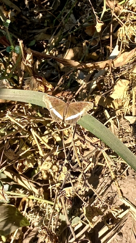
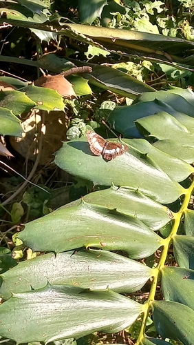
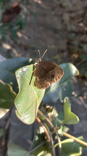
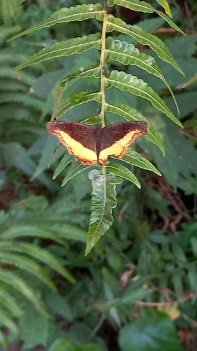
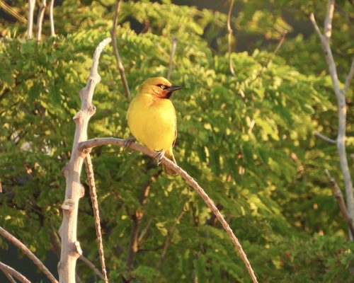
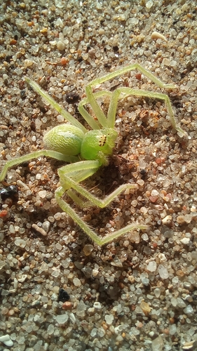
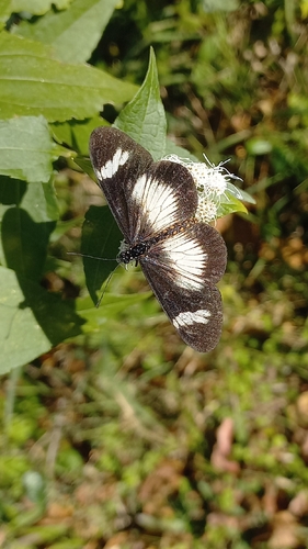
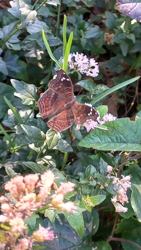
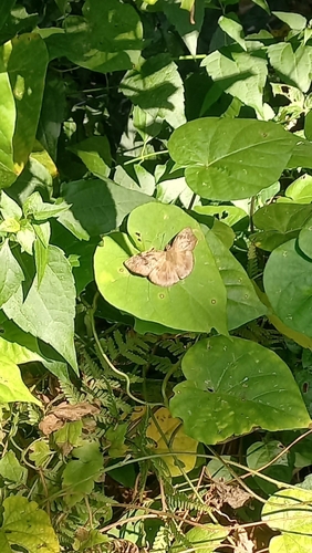
Research-grade observations from iNaturalist (within ~15 mi).
Events
Gallery
Geotagged photos within ~6 miles of Southbroom, from Wikimedia Commons contributors.
 1.6 mi
 2.1 mi
 2.1 mi
 2.2 mi
 2.2 mi
 2.4 mi
 2.6 mi
 2.6 mi
 2.7 mi
 2.8 mi
 2.9 mi
 2.9 mi
 2.9 mi
 2.9 mi
 2.9 mi
 3.1 mi
 3.3 mi
 3.3 mi
 3.6 mi
 3.9 mi
 4.6 mi
 5.5 mi
 6.1 mi
 6.1 mi
Photos via Wikimedia Commons — see each image page for license & attribution.
Sources
- • Wikipedia
- • Wikimedia Commons
- • Wikidata
- • USGS Earthquake Catalog (global feed)
- • GBIF (Global Biodiversity Information Facility)
- • iNaturalist
- • Open-Meteo / sunrise-sunset.org
- • Wikipedia Pageviews API