Browse / South Africa / Eastern Cape / Tarkastad
Tarkastad
Eastern Capetown

Tarkastad
Total population
1,604
Founded
1862
Air quality index
Demographic figures from Statistics South Africa. Overview below cites Wikipedia and may reference a different year.
City facts
Facts from Wikidata (CC0).
Overview
Tarkastad is a Karoo semi-urban settlement situated on the banks of Tarka River in the Eastern Cape province of South Africa. Tarkastad is on a plain to the north of the Winterberg mountain range on the R61 between Cradock and Komani and only three hours from Gqeberha. The name Tarkastad is believed to come from the Khoi-Khoi word Traka or the Celtic word Tarka and the Afrikaans word Stad. The fact that the town is overlooked by Martha and Mary; two peaks which look like two women resting after a hard day's work, also lends to the name.
Read more on WikipediaHistory & geography
History
The first people to occupy the area around Tarkastad were the San who left an abundance of rock art paintings in Grootvlei just north of the town. The first farmers settled in Tarkastad in 1795 who built watermills, inns and both a Dutch Reformed and Presbyterian Church. the English 1820 settlers moved in, and in 1862 Tarkastad was established as a church centre and became a municipality in 1864. where the Battle of Elands River (1901) was fought during the Second Boer War. The grave of Lt. Richard Sheridan, a cousin of Winston Churchill, who was killed in the Battle of Elands River is located on the Modderfontein farm just outside Tarkastad. Victorian cast iron lamp posts, old water mills and broekie lace adornments indicate the British colonial influence. Tarkastad's first Municipal Manager after apartheid was Smilo Dayi an ex-political prisoner. The first mayor after apartheid was Ntsikelelo Sampempe. A family house in Tarkastad was the birthplace of anti-Apartheid activist and African nationalist, Steve Biko.
Excerpted from the corresponding Wikipedia article (CC BY-SA).
Geography
Coordinates & boundaries from the US Census TIGER/Line shapefiles.
Climate
Air quality
Current readings from Open-Meteo Air Quality API (Copernicus CAMS European reanalysis).
Walkability
Amenities nearby
Wildlife & biodiversity
Most-observed species
- Pied CrowCorvus albus Statius Muller, 1776 · Aves33
- Cape WagtailMotacilla capensis Linnaeus, 1766 · Aves29
- African Pied StarlingLamprotornis bicolor (Gmelin, 1789) · Aves28
- Pale Chanting-GoshawkMelierax canorus (Thunberg, 1799) · Aves27
- Ring-necked DoveStreptopelia capicola (Sundevall, 1857) · Aves27
- Piping CisticolaCisticola fulvicapilla (Vieillot, 1817) · Aves27
- Southern FiscalLanius collaris Linnaeus, 1766 · Aves26
- Egyptian GooseAlopochen aegyptiaca (Linnaeus, 1766) · Aves24
Citizen-science & research observations from the Global Biodiversity Information Facility (GBIF).
Earthquake history
Events from the USGS Earthquake Catalog (global) (FDSN Event Web Service).
Photos
Sights & places nearby
Notable people from here


People born within ~10 km, from Wikidata (CC0). Click any name for their Wikipedia article.
Nearby places in Eastern Cape
Geography & sun
Elevation, sunrise/sunset and daylight from Open-Meteo. Solar climatology from NASA POWER.
Nearby airports
Public attention
Pageview totals from the Wikimedia Pageviews API.
Books about this place
Recent natural events nearby
Ground air-quality sensors
Recently spotted species
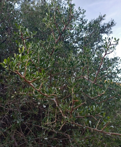
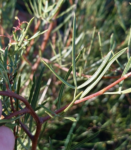
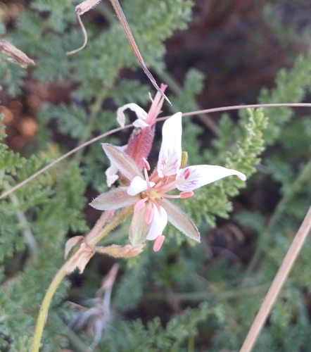
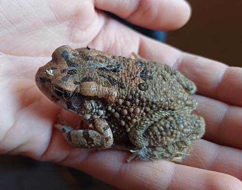
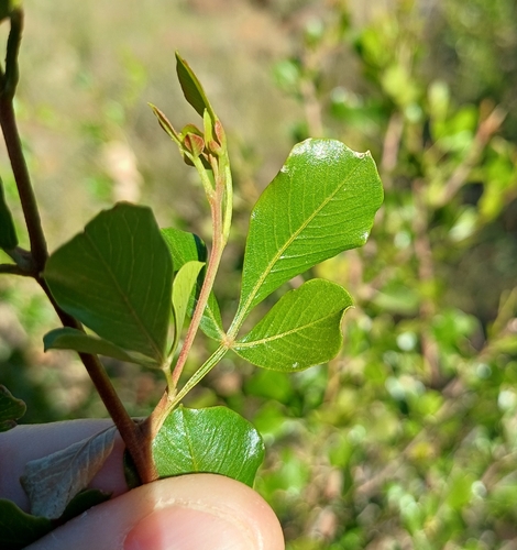
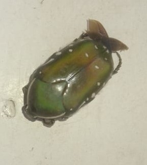
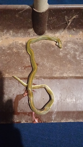
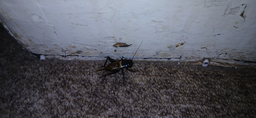
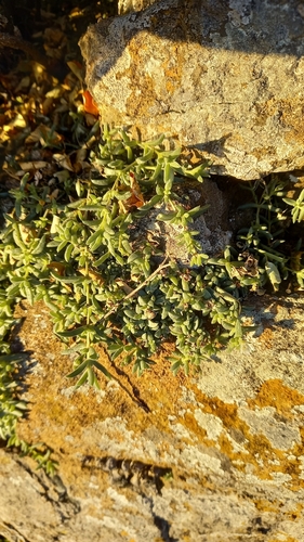
Research-grade observations from iNaturalist (within ~15 mi).
Events
Gallery
Geotagged photos within ~6 miles of Tarkastad, from Wikimedia Commons contributors.


.jpg)


Photos via Wikimedia Commons — see each image page for license & attribution.
Sources
- • Wikipedia
- • Wikimedia Commons
- • Wikidata
- • Open-Meteo Air Quality (CAMS)
- • USGS Earthquake Catalog (global feed)
- • GBIF (Global Biodiversity Information Facility)
- • iNaturalist
- • Open-Meteo / sunrise-sunset.org
- • Wikipedia Pageviews API