Browse / South Africa / Free State / Thaba Nchu
Thaba Nchu
Free Statecity

Thaba Nchu
Total population
70,118
Founded
1892
Demographic figures from Statistics South Africa. Overview below cites Wikipedia and may reference a different year.
City facts
Facts from Wikidata (CC0).
Overview
Thaba 'Nchu, also known as Blesberg, is a town in Free State, South Africa, 63 km east of Bloemfontein and 17 km east of Botshabelo. The population is largely made up of Tswana and Sotho people. The town was settled in December 1833 and officially established in 1873. The town grew larger following the 1913 Natives' Land Act that declared the area a homeland for the Tswana people.
Read more on WikipediaHistory & geography
History
The three Barolong clans (boo-Seleka, boo-Ratlou and boo-Tshidi) under their Chiefs, migrated here in December 1833. A decade earlier, these clans were driven from their land of origin, over the Vaal, by Mzilikazi, and sojourned at a place they called Motlhaana-wa-pitse (Jaw-bone of a horse), in what is now the western Free State. Upon reaching an agreement with King Moshoeshoe I, they settled in the area with their Wesleyan Methodist Missionaries- Samuel Broadbent and Thomas L. Hodgson. Then their numbers were augmented by other Barolong (boo-Rapulana under Matlaba) scattered by Mzilikazi. These Barolong people accepted the Voortrekkers as allies. The first Voortrekkers to stay here on their northward journeys were Louis Tregardt and Hans van Rensburg in 1835. The town subsequently became a safe meeting place for leaders such as Hendrik Potgieter, who arrived in May 1836, Piet Uys and Gerrit Maritz. After Potgieter's trek was attacked and plundered at Vegkop, Moroka II swiftly assisted him with draught oxen and a liberal provision of supplies. The Boer party was also assisted in returning to a refugee camp at Thaba 'Nchu, named "Moroka's Hoek". The Boer leader held a war council with the Barolong chiefs, Moroka, Tawana, Gontse, and Matlaba where a Boer-Barolong-Griqua allegiance was formed, which shortly routed Mzilikazi, who then founded the kingdom of Matabeleland. In 1841, when Tawana, Gontse, and Matlaba returned to their original home, Moroka II made Blesberg his permanent home. The area was considered a friendly native state of the Boer-governed Orange Free State, established in 1854. It, however, became an insular territory during the Basotho Wars, during which the Basotho were expelled from its vicinity. In the apartheid era, the town was the only Free…
Geography
Geographical features include the promontories of the Lesotho mountains, suitable for large lands with ample game, wherein a game reserve, the Maria Moroka Nature Reserve, has been maintained. A variety of wildlife and bird species are found here, besides a hiking trail, a traditional Tswana site, and amenities for various activities and adventures in the reserve. The "Thaba Nchu frog" which refers to a species described by A.C. Hoffman in 1939 as Semnodactylus thaba-nchuensis, was discovered on the summit of Thaba 'Nchu Mountain. The reserve has been named after the political town hero Dr. Maria Moroka. Much of the surrounding land is arable, which has been employed for large scale farming of both commercial and domestic nature. The town is also known for the Aran hand-knitted woolen garments made by local craftspeople.
Excerpted from the corresponding Wikipedia article (CC BY-SA).
Geography
Coordinates & boundaries from the US Census TIGER/Line shapefiles.
Climate
Air quality
Walkability
Amenities nearby
Wildlife & biodiversity
Most-observed species
- Speckled PigeonColumba guinea Linnaeus, 1758 · Aves17
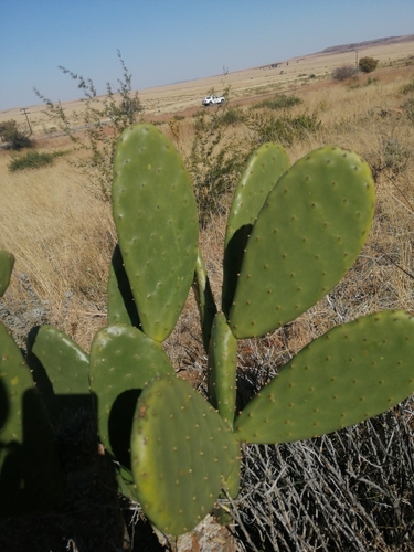
- Opuntia robusta H.L.Wendl.Opuntia robusta H.L.Wendl. · Magnoliopsida17
- Southern FiscalLanius collaris Linnaeus, 1766 · Aves16
- Cape WagtailMotacilla capensis Linnaeus, 1766 · Aves14
- Cape SparrowPasser melanurus (Statius Muller, 1776) · Aves14
- Cattle EgretBubulcus ibis (Linnaeus, 1758) · Aves13
- Mexican AsterCosmos bipinnatus Cav. · Magnoliopsida13
- Pied CrowCorvus albus Statius Muller, 1776 · Aves10
Citizen-science & research observations from the Global Biodiversity Information Facility (GBIF).
Earthquake history
Most recent
- M 4.4 — 2017-09-1558 km S of Bloemfontein, South Africa
Events from the USGS Earthquake Catalog (global) (FDSN Event Web Service).
Photos
Sights & places nearby
Notable people from here

People born within ~10 km, from Wikidata (CC0). Click any name for their Wikipedia article.
Nearby places in Free State
Geography & sun
Elevation, sunrise/sunset and daylight from Open-Meteo. Solar climatology from NASA POWER.
Nearby airports
Public attention
Pageview totals from the Wikimedia Pageviews API.
Books about Thaba Nchu
Search results from Open Library.
Recent natural events nearby
Ground air-quality sensors
Recently spotted species
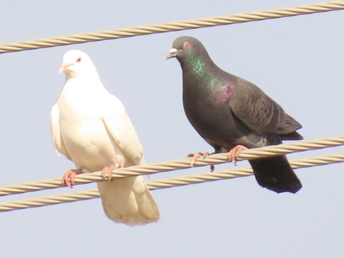
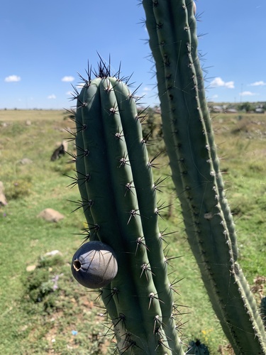
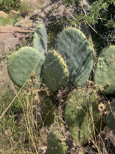
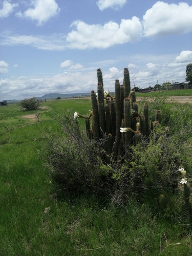
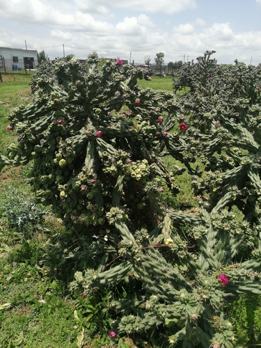
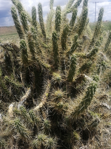
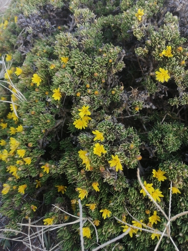
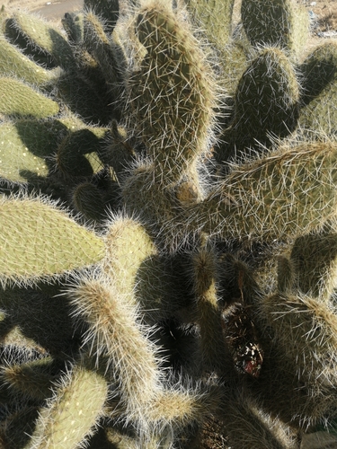
Research-grade observations from iNaturalist (within ~15 mi).
Events
Gallery
Geotagged photos within ~6 miles of Thaba Nchu, from Wikimedia Commons contributors.
.jpg) 2.8 mi
2.8 mi 3 mi
3 mi 3.5 mi
.jpg) 4.1 mi
4.1 mi.jpg) 4.1 mi
4.1 mi.jpg) 4.1 mi
4.1 mi.jpg) 4.1 mi
4.1 mi.jpg) 4.3 mi
4.3 mi.jpg) 4.4 mi
4.4 mi 4.6 mi
 4.8 mi
 4.8 mi
 4.9 mi
 5 mi
5 mi 5.1 mi
.jpg) 5.1 mi
5.1 mi.jpg) 5.1 mi
5.1 mi 5.3 mi
 5.3 mi
.jpg) 5.3 mi
5.3 mi 5.4 mi
 5.4 mi
 5.5 mi
 5.7 mi
Photos via Wikimedia Commons — see each image page for license & attribution.
Sources
- • Wikipedia
- • Wikimedia Commons
- • Wikidata
- • USGS Earthquake Catalog (global feed)
- • GBIF (Global Biodiversity Information Facility)
- • iNaturalist
- • Open-Meteo / sunrise-sunset.org
- • Wikipedia Pageviews API
- • Open Library