Browse / South Africa / Mpumalanga / Tonga
Tonga
Mpumalangatown
Total population
17,333
Air quality index
Demographic figures from Statistics South Africa. Overview below cites Wikipedia and may reference a different year.
City facts
Overview
Tonga is a town in Ehlanzeni District Municipality in the Mpumalanga province of South Africa.
Read more on WikipediaHistory & geography
Geography
Coordinates & boundaries from the US Census TIGER/Line shapefiles.
Climate
Air quality
Current readings from Open-Meteo Air Quality API (Copernicus CAMS European reanalysis).
Walkability
Amenities nearby
Wildlife & biodiversity
Most-observed species
- Hadada IbisBostrychia hagedash (Latham, 1790) · Aves326
- Dark-capped BulbulPycnonotus tricolor (Hartlaub, 1862) · Aves320
- Common WaxbillEstrilda astrild (Linnaeus, 1758) · Aves299
- Sombre GreenbulAndropadus importunus (Vieillot, 1818) · Aves296
- Fan-tailed WidowbirdEuplectes axillaris (A.Smith, 1838) · Aves289
- Red-eyed DoveStreptopelia semitorquata (Rüppell, 1837) · Aves284
- African PipitAnthus cinnamomeus Rüppell, 1840 · Aves282
- White-browed Robin-ChatCossypha heuglini Hartlaub, 1866 · Aves281
Citizen-science & research observations from the Global Biodiversity Information Facility (GBIF).
Earthquake history
Events from the USGS Earthquake Catalog (global) (FDSN Event Web Service).
Photos
Sights & places nearby
Notable people from here
Nearby places in Mpumalanga
Geography & sun
Elevation, sunrise/sunset and daylight from Open-Meteo. Solar climatology from NASA POWER.
Nearby airports
Public attention
Pageview totals from the Wikimedia Pageviews API.
Books about this place
Recent natural events nearby
Ground air-quality sensors
Recently spotted species
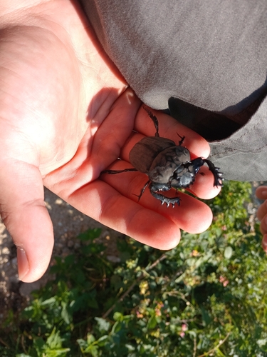
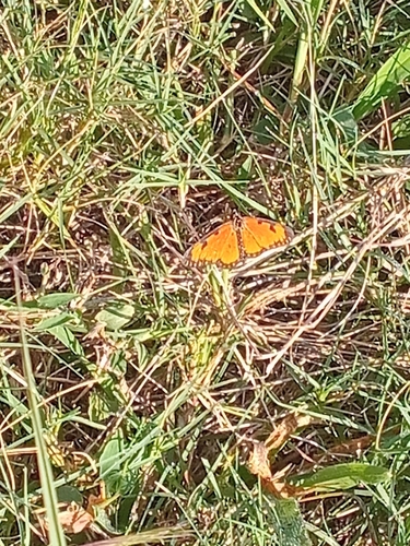
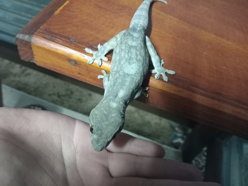
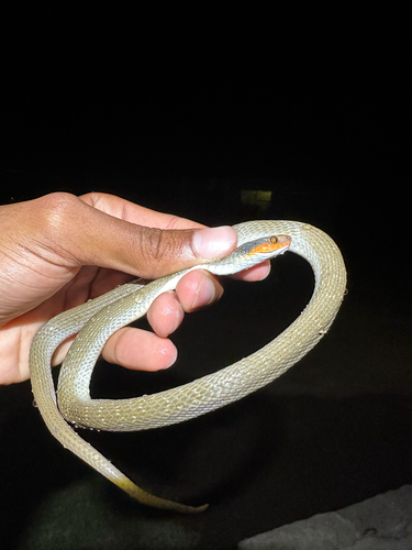
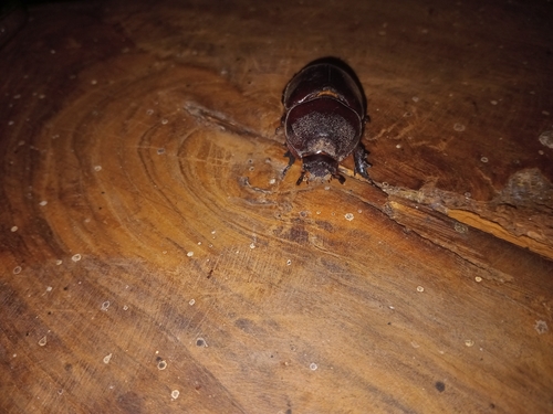

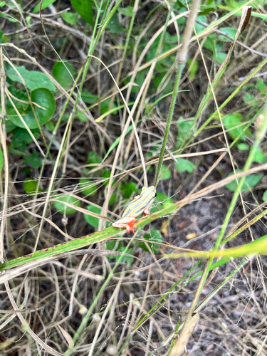
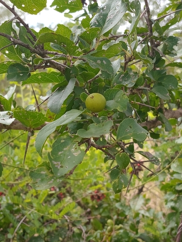
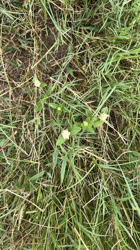
Research-grade observations from iNaturalist (within ~15 mi).
Events
Gallery
Geotagged photos within ~6 miles of Tonga, from Wikimedia Commons contributors.


Photos via Wikimedia Commons — see each image page for license & attribution.
Sources
- • Wikipedia
- • Wikimedia Commons
- • Wikidata
- • Open-Meteo Air Quality (CAMS)
- • USGS Earthquake Catalog (global feed)
- • GBIF (Global Biodiversity Information Facility)
- • iNaturalist
- • Open-Meteo / sunrise-sunset.org
- • Wikipedia Pageviews API