Browse / South Africa / KwaZulu-Natal / Umhlali
Umhlali
KwaZulu-Nataltown
Air quality index
Demographic figures from Statistics South Africa. Overview below cites Wikipedia and may reference a different year.
City facts
Overview
Umhlali is a village on the North Coast of the KwaZulu-Natal province of South Africa, just inland from Salt Rock and approximately 50 km north-east of Durban. The name of the village, "Umhlali" derives from the Zulu name of the Monkey Orange tree - a small semi-deciduous tree that is predominant along the banks of the uMhlali River, north of the village.
Read more on WikipediaHistory & geography
History
The village of Umhlali, was established by British and Scottish Byrne settlers in 1850 and was originally Fort William, as it was the site of a fort. It was later renamed Umhlali which is the Zulu name for the Monkey Orange tree, which grew plentifully along the banks of the uMhlali River but it was also locally referred to it as the “place of waiting” because settlers and locals would have to wait on the banks before crossing the river on a northward journey. At that time, the nearby coastal town of Ballito was a small coastal village consisting of a few beach shacks whilst Umhlali was the hub of the farming community with the heart of the village being the bustling main road (the current R102 route) consisting of a bank, post office, supermarket, hairdresser, car dealership, farmers’ co-op and the Lali Hotel. Until the new retail developments launched in Ballito, Umhlali was initially one of the only places in the Dolphin Coast locally to buy groceries, collect post, do banking, fill up with petrol and go to school. A significant landmark in Umhlali, Umhlali Preparatory School, which opened its doors on 11 February 1918, still exists alongside the R102 main road and is still a highly esteemed and popular school on the Dolphin Coast today.
Geography
Located in the hilly countryside, Umhlali lies just south of the uMhlali River after which it is named after. The village is positioned approximately 3 km south of Shakaskraal (north of the uMhlali River), 3 km west of the coastal village of Salt Rock and 9 km north-west of the coastal town of Ballito. Umhlali also forms part of the Dolphin Coast which incorporates Ballito, Shaka’s Rock, Salt Rock, Sheffield Beach, Tinley Manor Beach, Zinkwazi Beach and Shakaskraal.
Excerpted from the corresponding Wikipedia article (CC BY-SA).
Geography
Coordinates & boundaries from the US Census TIGER/Line shapefiles.
Climate
Air quality
Current readings from Open-Meteo Air Quality API (Copernicus CAMS European reanalysis).
Walkability
Amenities nearby
Wildlife & biodiversity
Most-observed species
- Hadada IbisBostrychia hagedash (Latham, 1790) · Aves1,551
- Red-eyed DoveStreptopelia semitorquata (Rüppell, 1837) · Aves1,442
- Egyptian GooseAlopochen aegyptiaca (Linnaeus, 1766) · Aves1,323
- Village WeaverPloceus cucullatus (Statius Muller, 1776) · Aves1,311
- Red-winged StarlingOnychognathus morio (Linnaeus, 1766) · Aves1,267
- Black-collared BarbetLybius torquatus (Dumont, 1805) · Aves1,238
- Cape WagtailMotacilla capensis Linnaeus, 1766 · Aves1,233
- Spectacled WeaverPloceus ocularis A.Smith, 1828 · Aves1,145
Citizen-science & research observations from the Global Biodiversity Information Facility (GBIF).
Earthquake history
Most recent
- M 4.6 — 2022-11-0544 km NNE of Greytown, South Africa
- M 3.7 — 2016-02-06South Africa
- M 4.3 — 2015-06-1619 km ESE of Sundumbili, South Africa
Events from the USGS Earthquake Catalog (global) (FDSN Event Web Service).
Photos
Sights & places nearby
Notable people from here
Nearby places in KwaZulu-Natal
Geography & sun
Elevation, sunrise/sunset and daylight from Open-Meteo. Solar climatology from NASA POWER.
Nearby airports
Public attention
Pageview totals from the Wikimedia Pageviews API.
Books about this place
Recent natural events nearby
Ground air-quality sensors
Recently spotted species
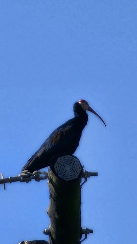
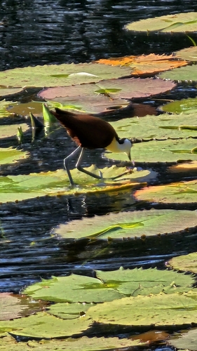
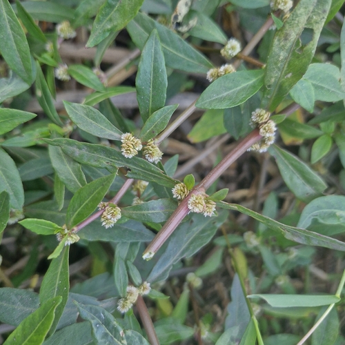
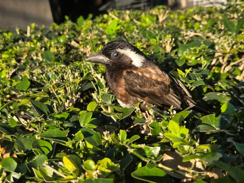
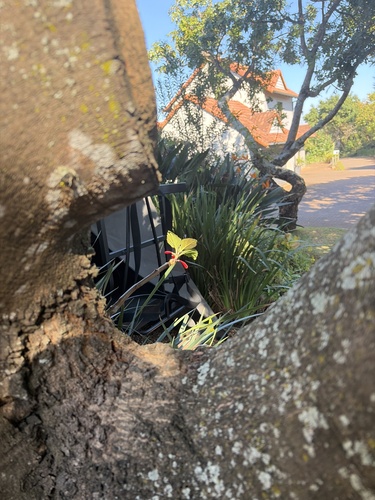
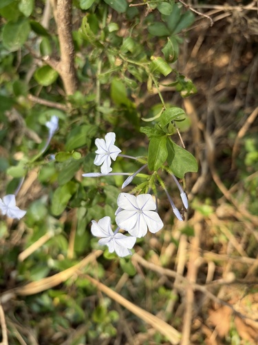
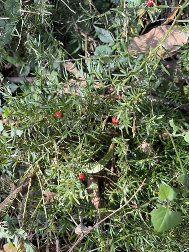
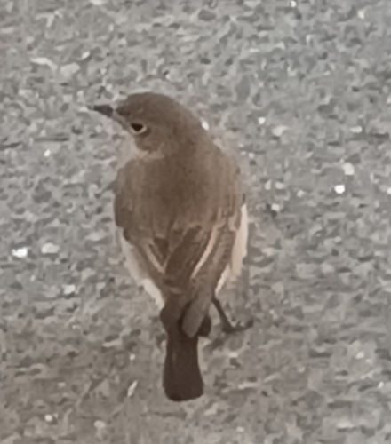
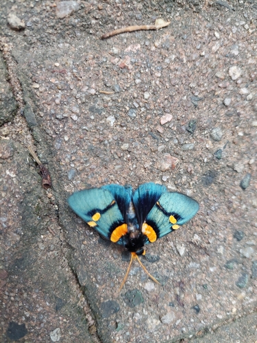
Research-grade observations from iNaturalist (within ~15 mi).
Events
Gallery
Geotagged photos within ~6 miles of Umhlali, from Wikimedia Commons contributors.
.jpg) 1.8 mi
1.8 mi.jpg) 1.8 mi
1.8 mi 2.1 mi
 2.1 mi
 2.1 mi
 2.1 mi
 2.2 mi
 2.2 mi
 2.2 mi
 2.3 mi
 2.3 mi
 2.4 mi
 2.4 mi
 2.4 mi
 2.7 mi
 2.7 mi
 2.7 mi
 2.7 mi
 2.7 mi
 2.7 mi
 2.7 mi
 2.7 mi
 2.7 mi
 2.8 mi
Photos via Wikimedia Commons — see each image page for license & attribution.
Sources
- • Wikipedia
- • Wikimedia Commons
- • Wikidata
- • Open-Meteo Air Quality (CAMS)
- • USGS Earthquake Catalog (global feed)
- • GBIF (Global Biodiversity Information Facility)
- • iNaturalist
- • Open-Elevation
- • Open-Meteo / sunrise-sunset.org
- • Wikipedia Pageviews API