Browse / South Africa / KwaZulu-Natal / Umkomaas
Umkomaas
KwaZulu-Nataltown

Umkomaas
Founded
1861
Air quality index
Demographic figures from Statistics South Africa. Overview below cites Wikipedia and may reference a different year.
City facts
Facts from Wikidata (CC0).
Overview
Umkomaas, also known by its official name eMkhomazi, is a small coastal town on the subtropical South Coast of KwaZulu-Natal, South Africa was formed when a harbour was built in 1861 to export sugar. The town rests beside the mouth of the navigable uMkhomazi River, also known as the Mkhomazi or Umkomaas. With the successful dredging of Durban harbour's sandbar and arrival of the railway, like Port Shepstone, the harbour fell into disuse, but the village came to life. It is administered as eMkhomazi Area, together with the nearby areas of Craigieburn, Clansthal, Ilfracombe, Crowder, Amahlongwa and Hull Valley as part Ward 99 in the eThekwini Metropolitan Municipality
Read more on WikipediaHistory & geography
History
The area came into prominence in the mid-19th century when Theophilus Shepstone, the Secretary for Native Affairs, proposed the establishment of a “black kingdom” south of the uMkhomazi River in 1851. However, this plan was rejected by the colonial authorities. The first official colonial presence began in July 1853 when Henry Francis Fynn was appointed Assistant Resident Magistrate in the Lower Umkomaas division. He also operated the first ferry service across the river, which was essential due to the presence of crocodiles. The turning point for the South Coast, including Umkomaas, was in 1857 when the Legislative Council decided to promote development by opening up Crown land grants. This led to a flurry of interest, and by 1859, there were 93 colonists in the coastal area between the uMkhomazi and Ifafa rivers. The success of sugar plantations, especially John McKenzie’s Craigie Burn estate, contributed significantly to the area’s development. It was established as settlement around 1861 when a harbor was constructed to facilitate the export of sugar. In Umkomaas, the entry of the ship Natalie was seen as a breakthrough for travel and transportation, as it brought access to Durban within a few hours, saving significant costs per ton of cargo. After inspecting the river mouth in 1872, the Surveyor-General, Dr P.C. Sutherland noted that until the settlement at Umkomaas grew in size, there was no urgency to expend further resources on developing the river mouth. Leading way to the slow disuse of the harbour and eventual abandonment once the dredging of Durban Harbour was successful. A notable event in the village's history was the fatal air crash involving a War Hawk Air Force plane during the Second World War. On 30 March 1944 during a routine practice battle…
Geography
Located approximately 50 km south-west of Durban and almost halfway between Scottburgh and Kingsburgh, eMkhomazi and its neighbouring coastal village of Clansthal form the southernmost part of the eThekwini Municipality and the Sapphire Coast. The uMkhomazi River is a dominant feature of the area, being the largest river on the South Coast. The river is 298 kilometres long, from its source just south of Giant's Castle in the uKhahlamba / Drakensberg Park World Heritage Site to its mouth on the Indian Ocean. The river begins its journey at an altitude of over 3,000 metres. Occasionally, raft races, canoeing, and other sporting events are held on the river. The river is a popular white-water rafting destination. During the winter dry season, the river mouth often silts up, but after heavy rains it carries large amounts of brown sediment into the Indian Ocean. Some of this sedimentation is due to anthropogenic (human-made) pressures on the local ecosystem. These pressures include soil erosion caused by over-grazing, intensive cultivation, sewage disposal, informal farming and settlements, timber plantations, and the removal of sand or topsoil from the river's basin. The uMkhomazi river valley is mentioned in an early chapter of Alan Paton's 1948 novel Cry, the Beloved Country. Probably derived from the Zulu word uMkhamazi, the name relates to the sighting of a whale in the river estuary at some point in history. The river's tributaries include the Madoba, Mkhomazana, Mtungwane, Nhlatimbe and Nhlavini. The river's basin covers about 4,315 km2, annual discharge is approximately 1 x 10⁶ m3 and sediment load is an estimated 900 000 tons per year. Some parts of the river basin are vulnerable to flooding due to the steep topography and weather systems, such as…
Excerpted from the corresponding Wikipedia article (CC BY-SA).
Geography
Coordinates & boundaries from the US Census TIGER/Line shapefiles.
Climate
Air quality
Current readings from Open-Meteo Air Quality API (Copernicus CAMS European reanalysis).
Walkability
Amenities nearby
Wildlife & biodiversity
Most-observed species
- Hadada IbisBostrychia hagedash (Latham, 1790) · Aves1,457
- Red-eyed DoveStreptopelia semitorquata (Rüppell, 1837) · Aves1,147
- Black-collared BarbetLybius torquatus (Dumont, 1805) · Aves1,063
- Red-winged StarlingOnychognathus morio (Linnaeus, 1766) · Aves1,017
- Egyptian GooseAlopochen aegyptiaca (Linnaeus, 1766) · Aves991
- Village WeaverPloceus cucullatus (Statius Muller, 1776) · Aves905
- House SparrowPasser domesticus (Linnaeus, 1758) · Aves899
- Bronze mannikinLonchura cucullata (Swainson, 1837) · Aves894
Citizen-science & research observations from the Global Biodiversity Information Facility (GBIF).
Earthquake history
Most recent
- M 4.2 — 2019-10-3147 km NW of Port Shepstone, South Africa
- M 3.7 — 2016-02-06South Africa
Events from the USGS Earthquake Catalog (global) (FDSN Event Web Service).
Photos
Sights & places nearby
Notable people from here


People born within ~10 km, from Wikidata (CC0). Click any name for their Wikipedia article.
Nearby places in KwaZulu-Natal
Geography & sun
Elevation, sunrise/sunset and daylight from Open-Meteo. Solar climatology from NASA POWER.
Nearby airports
Public attention
Pageview totals from the Wikimedia Pageviews API.
Books about this place
Recent natural events nearby
Ground air-quality sensors
Recently spotted species
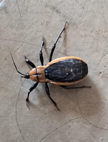
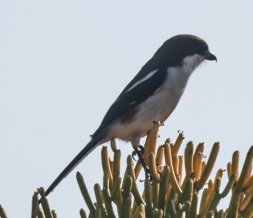
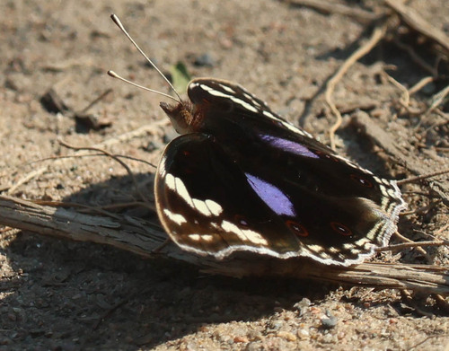
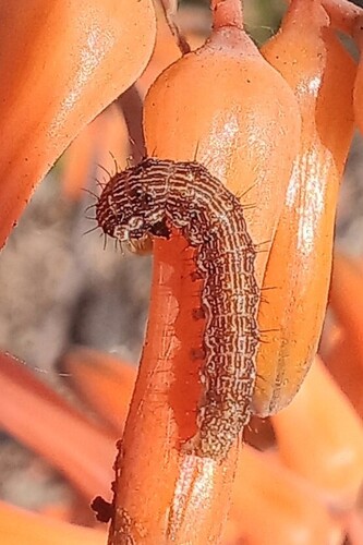
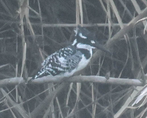
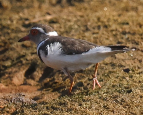
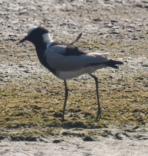
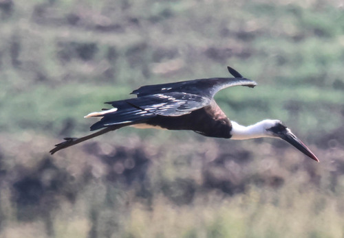
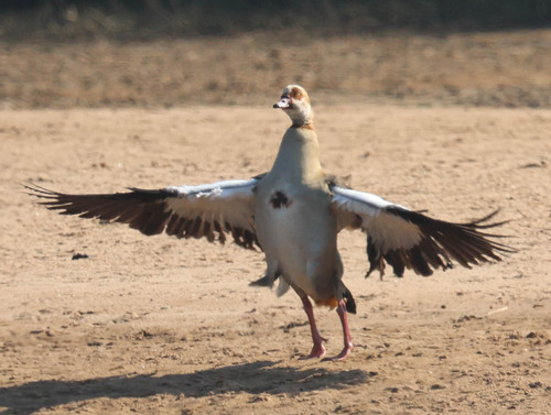
Research-grade observations from iNaturalist (within ~15 mi).
Events
Gallery
Geotagged photos within ~6 miles of Umkomaas, from Wikimedia Commons contributors.
 0.5 mi
 0.9 mi
 0.9 mi
.jpg) 1.4 mi
1.4 mi 2.1 mi
 2.1 mi
 2.9 mi
 2.9 mi
 3 mi
3 mi 3.1 mi
 3.1 mi
 3.2 mi
 3.2 mi
 3.3 mi
 3.3 mi
 3.3 mi
 3.3 mi
 3.3 mi
 3.3 mi
 3.3 mi
 3.3 mi
 3.3 mi
 3.3 mi
 3.3 mi
Photos via Wikimedia Commons — see each image page for license & attribution.
Sources
- • Wikipedia
- • Wikimedia Commons
- • Wikidata
- • Open-Meteo Air Quality (CAMS)
- • USGS Earthquake Catalog (global feed)
- • GBIF (Global Biodiversity Information Facility)
- • iNaturalist
- • Open-Elevation
- • Open-Meteo / sunrise-sunset.org
- • Wikipedia Pageviews API