Browse / South Africa / Free State / Vrede
Vrede
Free Statetown

Vrede
Founded
1876
Air quality index
Demographic figures from Statistics South Africa. Overview below cites Wikipedia and may reference a different year.
City facts
Facts from Wikidata (CC0).
Overview
Vrede is a town in the Free State province of South Africa that is the agricultural hub of a 100 km² region. Maize, wheat, mutton, wool, beef, dairy products and poultry are farmed in the region.
Read more on WikipediaHistory & geography
History
Archeological and records conducted by Tim Maggs in 1976 provides evidence of the early Basotho settlement near Ntsoana-tsatsi. The distinctive corbelled house parttens called "N" for Ntsoana-tsatsi dates between 1600 and 1800 AD and was called "Mohlongwa-fatshe. Before Afrikaaners arrived in the area, it was the Batlokwa's stronghold. In 1863 one J. H. Krynauw bought the farm, aptly named "Krynauwslust" located where the town of Vrede was later proclaimed in 1879. The town celebrated its centenary in 1979. The town's Afrikaans name "Vrede" can be directly translated to "Peace" in English. This name resulted, due to a bitter feud that raged between the early settlers of the area where the town initially should have been placed. A compromise was reached and peace among the early citizens was achieved, hence the name, "Vrede". The names Leeukop (Lionshead), Tygerspoort (Tiger's Passage), Kwaggaspoort (Zebra's Passage) still exist today. Unfortunately the folk of the earlier years were not conscious of the ecology and now only names of the game that roamed the area remain. The last known free roaming lion in the area was shot in 1865. In 1858 a sole hippo was spotted in the wetlands surrounding the district of Memel, the neighboring town. Between 1899 and 1902 many famous battles were fought in and around Vrede and Vrede was also the setting of the stand of the Great Rebellion of 1914 when citizens were called to arms in aid of Britain in the First World War against Germany.
Excerpted from the corresponding Wikipedia article (CC BY-SA).
Geography
Coordinates & boundaries from the US Census TIGER/Line shapefiles.
Climate
Air quality
Current readings from Open-Meteo Air Quality API (Copernicus CAMS European reanalysis).
Walkability
Amenities nearby
Wildlife & biodiversity
Most-observed species
- Cape WagtailMotacilla capensis Linnaeus, 1766 · Aves102
- Southern FiscalLanius collaris Linnaeus, 1766 · Aves92
- African StonechatSaxicola torquatus (Linnaeus, 1766) · Aves90
- Long-tailed WidowbirdEuplectes progne (Boddaert, 1783) · Aves86
- African Pied StarlingLamprotornis bicolor (Gmelin, 1789) · Aves80
- Black-headed HeronArdea melanocephala Children & Vigors, 1826 · Aves77
- Hadada IbisBostrychia hagedash (Latham, 1790) · Aves72
- Southern Masked-WeaverPloceus velatus Vieillot, 1819 · Aves70
Citizen-science & research observations from the Global Biodiversity Information Facility (GBIF).
Earthquake history
Events from the USGS Earthquake Catalog (global) (FDSN Event Web Service).
Photos
Sights & places nearby
Notable people from here

People born within ~10 km, from Wikidata (CC0). Click any name for their Wikipedia article.
Nearby places in Free State
Geography & sun
Elevation, sunrise/sunset and daylight from Open-Meteo. Solar climatology from NASA POWER.
Nearby airports
Public attention
Pageview totals from the Wikimedia Pageviews API.
Books about this place
Recent natural events nearby
Ground air-quality sensors
Recently spotted species
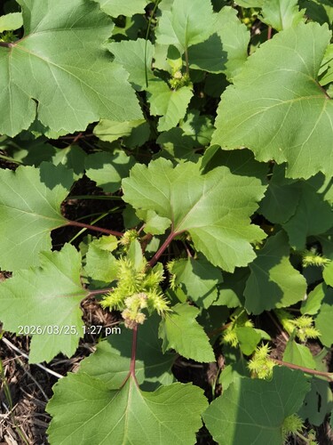
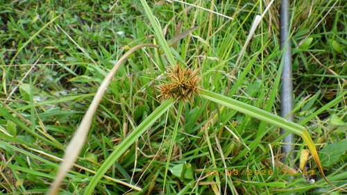
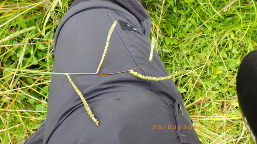
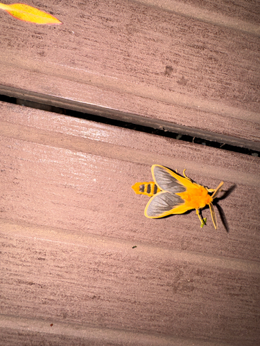
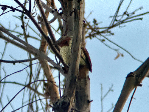
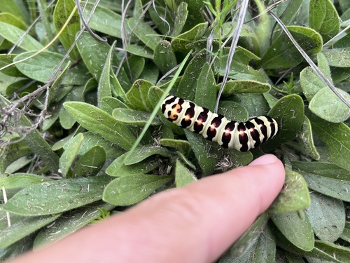
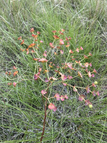
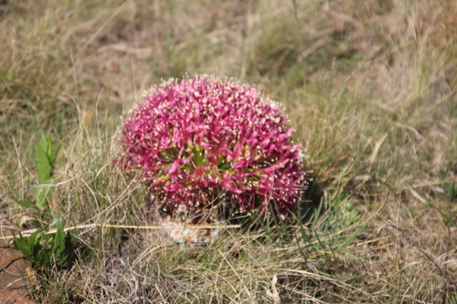
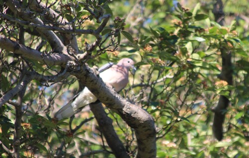
Research-grade observations from iNaturalist (within ~15 mi).
Events
Gallery
Geotagged photos within ~6 miles of Vrede, from Wikimedia Commons contributors.


.jpg)


Photos via Wikimedia Commons — see each image page for license & attribution.
Sources
- • Wikipedia
- • Wikimedia Commons
- • Wikidata
- • Open-Meteo Air Quality (CAMS)
- • USGS Earthquake Catalog (global feed)
- • GBIF (Global Biodiversity Information Facility)
- • iNaturalist
- • Open-Meteo / sunrise-sunset.org
- • Wikipedia Pageviews API