Browse / South Africa / Free State / Welkom
Welkom
Free Statecity

Welkom
Total population
64,130
Founded
1947
Air quality index
Demographic figures from Statistics South Africa. Overview below cites Wikipedia and may reference a different year.
City facts
Facts from Wikidata (CC0).
Overview
Welkom is a city in the Free State province of South Africa, located about 140 kilometres (90 mi) northeast of Bloemfontein, the provincial capital. Welkom is also known as Circle City, City Within A Garden, Mvela and Matjhabeng. The city's Sesotho name, Matjhabeng means 'where nations meet', derived from the migrant labour system, where people of various countries such as Lesotho, Malawi and Mozambique etc. met to work in the mines of the gold fields.
Read more on WikipediaHistory & geography
History
Much of the history of Welkom is centred around the discovery of gold in the northwestern Free State. It was proclaimed a town in 1948, nine years after a major gold discovery was made in Odendaalsrus, just north of Welkom. The first prospecting in the area was done by the Englishmen Mr Donaldson and Mr Hinds on a portion of the farm Zoeten-Inval in 1896. The men discovered a small outcrop which seemed to be a conglomerate pebble reef, but they failed to raise interest among mining companies who at that stage did not believe that there was gold to be discovered south of the Vaal River. They returned to England to test the samples they had extracted, but died before reaching their destination when their ship sank in the Bay of Biscay. Prospector Arthur Megson heard of their venture and decided to investigate near the town of Odendaalsrus in 1904. He gathered samples of exposed strata near an outcrop, which by then was part of Hendrik Petrus Klopper's farm Aandenk. He too did not succeed in obtaining any interest from companies until October 1932, when he presented his findings to Allan Roberts and Mannie Jacobs. The area needed to be tested by drilling, and the first borehole was started on 5 May 1933. Jacobs managed to interest two men, Fritz Marx and Peter Woolf, in the venture and the Wit Extensions Company was formed later that year. Although the borehole, which by then penetrated more than 1200 metres, yielded 120-inch pennyweights of gold (roughly 480 centimetre grams per ton), it was not enough to garner financial assistance and the operation had to close due to depleted finances. (For gold ores to be payable in South Africa, the grade must typically exceed 960 cengrams – the equivalent of 8 grams per ton over a 120 cm stope width, which after dilution…
Geography
Koppie Alleen is the only hill near Welkom and therefore is aptly named for its oddity. The terrain elevation above sea level is 1435 metres. The largest water catchment is the Sand River to the south-east of Welkom in Virginia's direction. Large saline pans such as Flamingo Pan and Theronia Pan are situated to the south-west of Welkom. Flamingo Pan is coded as an Important Bird Area (IBA) * Rheederpark * West Bedelia * Welkom ext * Jim Fouche Park * Alma * Flamingo Park * Seemeeu Park * Dagbreek * Reitzpark * Stateway * Doorn * Welkom Central * Jan Cilliers Park * Naudeville * St Helena * Bedelia * Lake View South * Lake View North * Orangia * Welkom North * Riebeeckstad * Sandania * Bronville * Thabong Welkom is well known for its efficient road traffic design mainly through the use of traffic circles, which has been the basis of worldwide studies. This is encouraged by flow design, the minimum of stop streets and the total absence of traffic lights and parking meters in the Central Business District. There are currently 33 large traffic circles. Welkom has several monuments including: * Aandenk Monument – This borehole memorial is shaped in the form of a key and symbolises the unlocking of the Free State goldfields.(next to Allanridge) * Afrikaans Language Monument * Joanne Pim Monument * WWII Monument * Voortrekker Memorial * Dog Monument * Old Indaba Bluegum Tree * MOTH Memorial * Gold Museum – A complete history of gold and its mining and production was on display. St Helena Gold Mine is not a working mine any more. Until a few years ago It was still possible to visit the mine and its wine cellar at 857m below surface but it does not exist any more. * Museum of Welkom – The public library houses a display of the discovery of gold in Welkom, the city's…
Excerpted from the corresponding Wikipedia article (CC BY-SA).
Geography
Coordinates & boundaries from the US Census TIGER/Line shapefiles.
Climate
Air quality
Current readings from Open-Meteo Air Quality API (Copernicus CAMS European reanalysis).
Walkability
Amenities nearby
Wildlife & biodiversity
Most-observed species
- Southern Masked-WeaverPloceus velatus Vieillot, 1819 · Aves192
- Cape WagtailMotacilla capensis Linnaeus, 1766 · Aves191
- Laughing DoveSpilopelia senegalensis (Linnaeus, 1766) · Aves188
- White-browed Sparrow-WeaverPlocepasser mahali A.Smith, 1836 · Aves186
- Ring-necked DoveStreptopelia capicola (Sundevall, 1857) · Aves183
- Blacksmith LapwingVanellus armatus (Burchell, 1822) · Aves170
- Southern Red BishopEuplectes orix (Linnaeus, 1758) · Aves163
- Cape SparrowPasser melanurus (Statius Muller, 1776) · Aves163
Citizen-science & research observations from the Global Biodiversity Information Facility (GBIF).
Earthquake history
Most recent
- M 4.4 — 2024-04-305 km NW of Allanridge, South Africa
- M 4.6 — 2022-06-156 km SSW of Kutloanong, South Africa
- M 4.2 — 2021-07-147 km SW of Welkom, South Africa
- M 4.5 — 2020-01-2511 km S of Welkom, South Africa
- M 4.4 — 2019-07-2327 km NNW of Theunissen, South Africa
- M 4.9 — 2019-03-228 km WNW of Virginia, South Africa
Events from the USGS Earthquake Catalog (global) (FDSN Event Web Service).
Photos
Sights & places nearby
Notable people from here


People born within ~10 km, from Wikidata (CC0). Click any name for their Wikipedia article.
Nearby places in Free State
Geography & sun
Elevation, sunrise/sunset and daylight from Open-Meteo. Solar climatology from NASA POWER.
Nearby airports
Public attention
Pageview totals from the Wikimedia Pageviews API.
Books about this place
Recent natural events nearby
Ground air-quality sensors
Recently spotted species
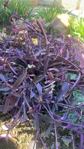
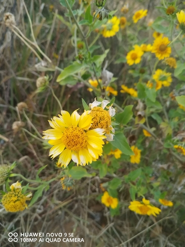
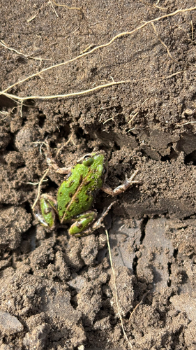
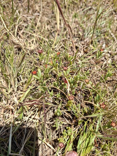
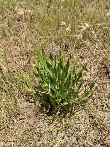
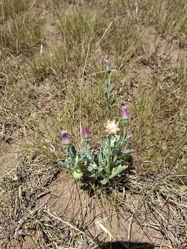
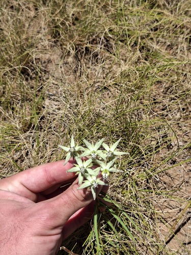
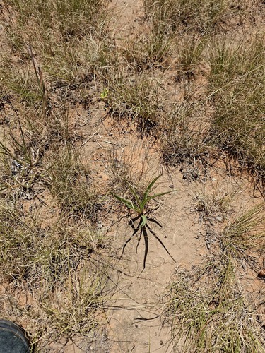
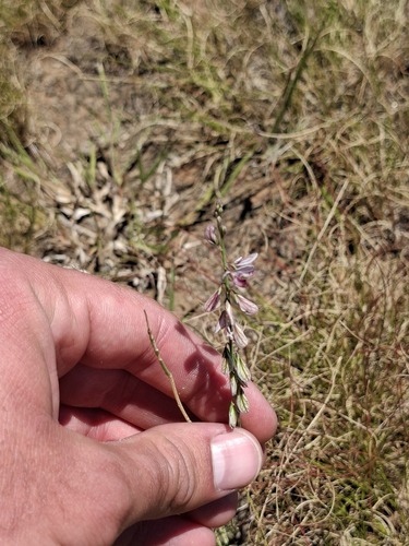
Research-grade observations from iNaturalist (within ~15 mi).
Events
Gallery
Geotagged photos within ~6 miles of Welkom, from Wikimedia Commons contributors.
 0.4 mi
 0.6 mi
 1 mi
1 mi 1.2 mi
 1.6 mi
 2.1 mi
.jpg) 2.1 mi
2.1 mi 2.3 mi
 2.3 mi
 2.3 mi
 2.5 mi
.png) 2.6 mi
2.6 mi.jpg) 2.6 mi
2.6 mi 2.7 mi
 3.3 mi
 3.6 mi
 3.7 mi
 3.7 mi
 3.7 mi
.jpg) 3.7 mi
3.7 mi.jpg) 3.7 mi
3.7 mi.png) 3.7 mi
3.7 mi 4 mi
4 mi 4 mi
4 miPhotos via Wikimedia Commons — see each image page for license & attribution.
Sources
- • Wikipedia
- • Wikimedia Commons
- • Wikidata
- • Open-Meteo Air Quality (CAMS)
- • USGS Earthquake Catalog (global feed)
- • GBIF (Global Biodiversity Information Facility)
- • iNaturalist
- • Open-Meteo / sunrise-sunset.org
- • Wikipedia Pageviews API