Browse / South Africa / Free State / Wepener
Wepener
Free Statetown

Wepener
Founded
1875
Air quality index
Demographic figures from Statistics South Africa. Overview below cites Wikipedia and may reference a different year.
City facts
Facts from Wikidata (CC0).
Overview
Wepener is a town in the Free State, South Africa, located near the border of Lesotho.
Read more on WikipediaHistory & geography
History
The town is named after Louw Wepener, the leader of the Boers in their war with the Basotho chief Moshoeshoe I in 1865. It was founded in 1867 on the banks of Jammersbergspruit, a tributary of the Caledon River. The Jammerberg (Mountain of Sorrow) towers over the village. Louw Wepener was killed on 15 August 1865 while trying to storm Moshoeshoe's stronghold of Thaba Bosiu. One of the local schools is also named after him. Wepener was the southernmost of several settlements founded by the Free Staters in the "conquered territories" to prevent the Basotho from resettling the land taken from them during the war of 1865. The Dutch Reformed parish was established in 1870 and the town was granted its first management board in 1875. The beautiful sandstone Dutch Reformed church was designed by a Welsh architect. The design of the church reflected his heritage – the Prince of Wales's feathers adorn the steeple. During the Anglo-Boer War, a British and South African colonial garrison of 2,000 men under Colonel Edmund Dalgety was besieged by the Boer commandos under the command of General Christiaan de Wet at Jammers drift on the Caledon River. The siege lasted 17 days, until reinforcements arrived on 25 April 1900 to end the battle in favour of the British. The district of Wepener was the scene of many battles, raids and skirmishes during the 19th century. Many graves, mostly without identification, still exist as reminders of the events in the valley of Jammerbergspruit during this stormy period.
Excerpted from the corresponding Wikipedia article (CC BY-SA).
Geography
Coordinates & boundaries from the US Census TIGER/Line shapefiles.
Climate
10-year averages from ERA5 reanalysis (Open-Meteo).
Air quality
Current readings from Open-Meteo Air Quality API (Copernicus CAMS European reanalysis).
Walkability
Amenities nearby
Wildlife & biodiversity
Most-observed species
- Narrowleaf FirethornPyracantha angustifolia (Franch.) C.K.Schneid. · Magnoliopsida33
- CashewSearsia lancea (L.fil.) F.A.Barkley · Magnoliopsida19
- Southern FiscalLanius collaris Linnaeus, 1766 · Aves12
- African StonechatSaxicola torquatus (Linnaeus, 1766) · Aves11
- Sweet-briarRosa rubiginosa L. · Magnoliopsida9
- Red-knobbed CootFulica cristata Gmelin, 1789 · Aves8
- African Pied StarlingLamprotornis bicolor (Gmelin, 1789) · Aves7
- Pale Chanting-GoshawkMelierax canorus (Thunberg, 1799) · Aves6
Citizen-science & research observations from the Global Biodiversity Information Facility (GBIF).
Earthquake history
Most recent
- M 4.4 — 2017-09-1558 km S of Bloemfontein, South Africa
- M 4.3 — 2016-09-054 km SSW of Nako, Lesotho
- M 4.3 — 2002-01-2743 km SE of Nako, Lesotho
- M 4.3 — 2002-01-2725 km S of Nako, Lesotho
Events from the USGS Earthquake Catalog (global) (FDSN Event Web Service).
Photos
Sights & places nearby
Notable people from here

People born within ~10 km, from Wikidata (CC0). Click any name for their Wikipedia article.
Nearby places in Free State
Geography & sun
Elevation, sunrise/sunset and daylight from Open-Meteo. Solar climatology from NASA POWER.
Nearby airports
Public attention
Pageview totals from the Wikimedia Pageviews API.
Books about this place
Recent natural events nearby
Ground air-quality sensors
Recently spotted species
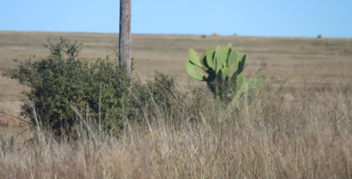
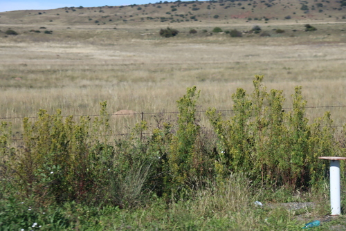
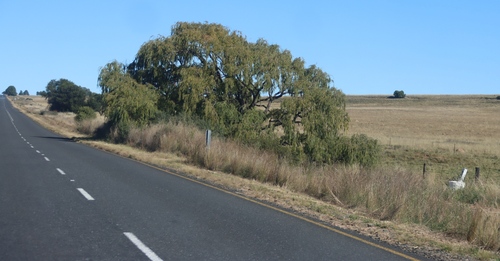
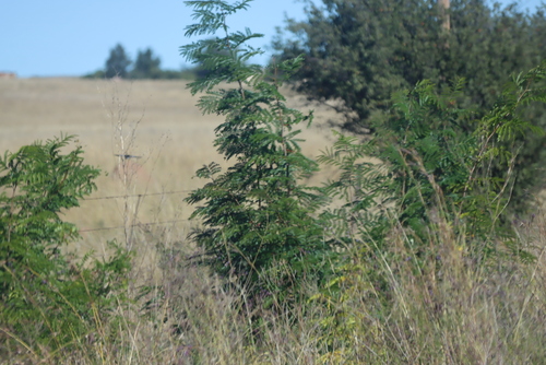
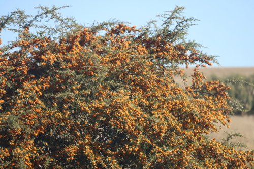
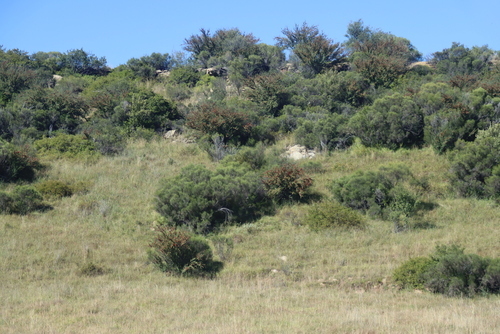
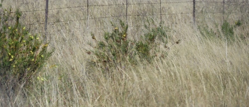
Research-grade observations from iNaturalist (within ~15 mi).
Events
Gallery
Geotagged photos within ~6 miles of Wepener, from Wikimedia Commons contributors.
 0.2 mi
.jpg) 0.4 mi
0.4 mi 0.5 mi
.jpg) 0.9 mi
0.9 mi 1.8 mi
.jpg) 1.8 mi
1.8 mi.jpg) 2.8 mi
2.8 mi.jpg) 2.9 mi
2.9 mi.jpg) 3 mi
3 mi 3.1 mi
 3.1 mi
.jpg) 3.2 mi
3.2 mi 3.2 mi
 3.2 mi
.jpg) 3.2 mi
3.2 mi 3.3 mi
 3.3 mi
.jpg) 3.3 mi
3.3 mi 4.4 mi
 4.4 mi
 4.5 mi
.jpg) 5.3 mi
5.3 mi 5.5 mi
Photos via Wikimedia Commons — see each image page for license & attribution.
Sources
- • Wikipedia
- • Open-Meteo (ERA5 reanalysis)
- • Wikimedia Commons
- • Wikidata
- • Open-Meteo Air Quality (CAMS)
- • USGS Earthquake Catalog (global feed)
- • GBIF (Global Biodiversity Information Facility)
- • iNaturalist
- • Open-Elevation
- • Open-Meteo / sunrise-sunset.org
- • Wikipedia Pageviews API