Browse / Zambia / Lusaka / Chilanga
Chilanga
Lusakatown

Featured view
Chilanga
Total population
107,051
Coordinates-15.56°, 28.28°
Demographic figures from Zambia Statistics Agency. Overview below cites Wikipedia and may reference a different year.
Loading additional data from public sources…0 / 11
CensusWikipediaWeatherPlacesPeopleEnvironmentHealth & SchoolsRelatedGeography & CultureLive MonitoringEvents & Gallery
0% completeCity facts
Official website
www.chilangacouncil.gov.zmFacts from Wikidata (CC0).
Overview
Chilanga is a township located 20 km south of Zambia's capital city, Lusaka. It is situated midway between Lusaka and Kafue on the T2 road.
Read more on WikipediaHistory & geography
Geography
Latitude
-15.5588
Longitude
28.2755
Water area
—
Coordinates & boundaries from the US Census TIGER/Line shapefiles.
Climate
Air quality
Walkability
Amenities nearby
Wildlife & biodiversity
Earthquake history
Photos
Sights & places nearby
Notable people from here
People born within ~10 km, from Wikidata (CC0). Click any name for their Wikipedia article.
Nearby places in Lusaka
Geography & sun
Avg solar (kWh/m²/day)
5.73
Annual solar (kWh/m²)
2,092
Elevation, sunrise/sunset and daylight from Open-Meteo. Solar climatology from NASA POWER.
Nearby airports
Public attention
Wikipedia views (last 30 days)
137
Avg daily Wikipedia views
5
Attention level
Obscure
Pageview totals from the Wikimedia Pageviews API.
Books about Chilanga
Semi-detailed soil and land capability survey of Chilanga Cement Limited, Shimabala Quarry-Area, Lusaka Province
Brian J. Mhango · 1988
Privatisation workshop
Economics Association of Zambia · 1995
Search results from Open Library.
Recent natural events nearby
Ground air-quality sensors
Recently spotted species
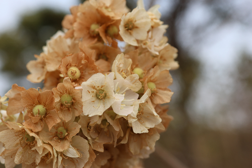
South African Wild Pear
Dombeya rotundifolia
Seen 2026-09-06
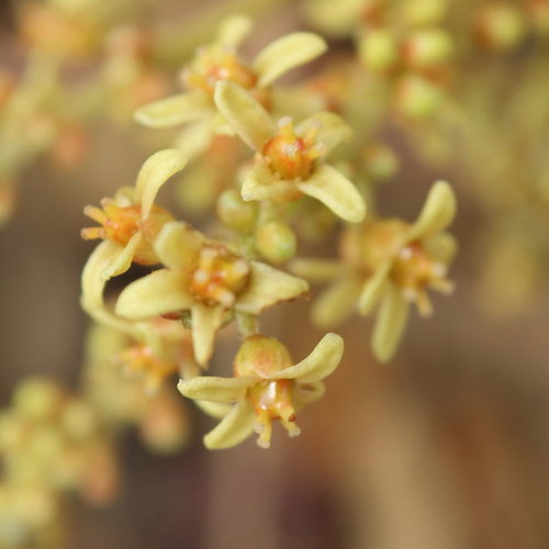
wild grape
Lannea edulis
Seen 2026-09-06
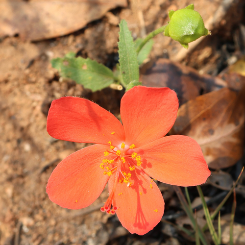
Hibiscus rhodanthus
Hibiscus rhodanthus
Seen 2026-09-06
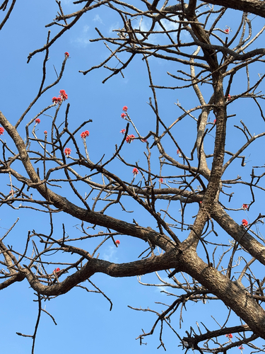
Redhot Poker Tree
Erythrina abyssinica
Seen 2026-08-27
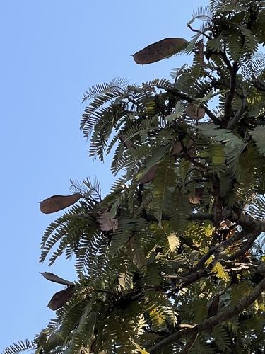
Prince-Of-Wales Feathers
Brachystegia boehmii
Seen 2026-08-27
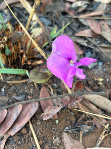
Vigna antunesii
Vigna antunesii
Seen 2026-08-22
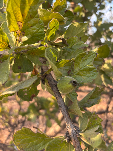
Thicket Xeromphis
Catunaregam taylorii
Seen 2026-08-22
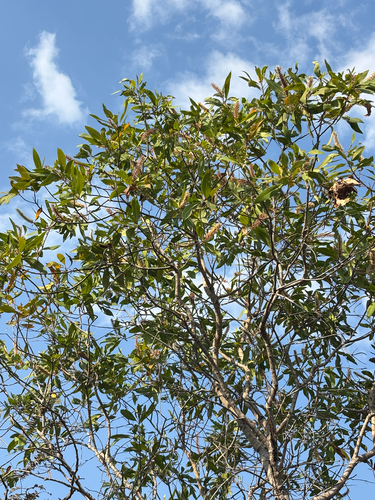
River Beechwood
Faurea delevoyi
Seen 2026-08-22
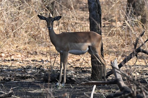
Common Impala
Aepyceros melampus melampus
Seen 2026-08-21
Research-grade observations from iNaturalist (within ~15 mi).
Events
Gallery
Sources
- • Wikipedia
- • Wikidata
- • iNaturalist
- • Open-Meteo / sunrise-sunset.org
- • Wikipedia Pageviews API
- • Open Library