Browse / Zambia / Southern / Choma
Choma
Southerntown

Choma
Total population
122,480
Demographic figures from Zambia Statistics Agency. Overview below cites Wikipedia and may reference a different year.
City facts
Facts from Wikidata (CC0).
Overview
Choma is a town that serves as the capital of the Southern Province of Zambia. It is also the capital of Choma District, one of the 15 administrative districts in the province.
Read more on WikipediaHistory & geography
Geography
Choma lies on the Lusaka–Livingstone Road, approximately south-west of Lusaka, the national capital and largest city in Zambia. This is approximately , by road, northeast of Livingstone, the largest city in Zambia's Southern Province. Choma is also a station on the Zambia Railways main line between Lusaka and Livingstone. The geographical coordinates of Choma are:16°46'16.0"S, 26°59'32.0"E (Latitude:-16.771111; Longitude:26.992222). Choma sits at an average elevation of above mean sea level. The Nkanga River Conservation Area lies approximately from Choma town. }}
Excerpted from the corresponding Wikipedia article (CC BY-SA).
Geography
Coordinates & boundaries from the US Census TIGER/Line shapefiles.
Climate
Air quality
Walkability
Amenities nearby
Wildlife & biodiversity
Earthquake history
Photos
Sights & places nearby
Notable people from here
People born within ~10 km, from Wikidata (CC0). Click any name for their Wikipedia article.
Geography & sun
Elevation, sunrise/sunset and daylight from Open-Meteo. Solar climatology from NASA POWER.
Nearby airports
Public attention
Pageview totals from the Wikimedia Pageviews API.
Books about Choma
Search results from Open Library.
Recent natural events nearby
Ground air-quality sensors
Recently spotted species
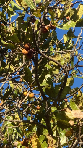
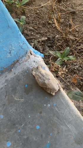
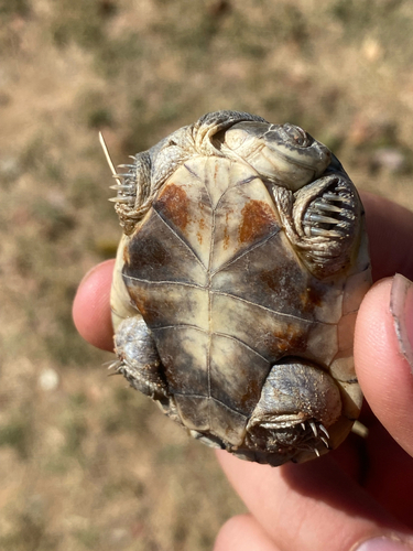
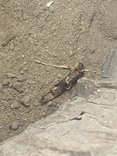
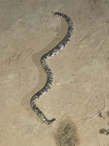
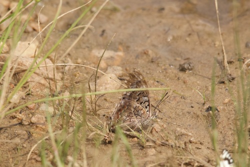
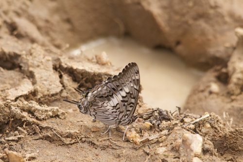
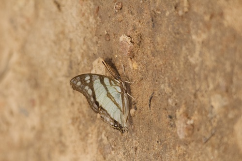
Research-grade observations from iNaturalist (within ~15 mi).
Events
Gallery
Sources
- • Wikipedia
- • Wikidata
- • iNaturalist
- • Open-Meteo / sunrise-sunset.org
- • Wikipedia Pageviews API
- • Open Library