Browse / Zambia / Central / Kabwe
Kabwe
Centralcity

Kabwe
Total population
117,517
Demographic figures from Zambia Statistics Agency. Overview below cites Wikipedia and may reference a different year.
City facts
Facts from Wikidata (CC0).
Overview
Kabwe is the capital of the Zambian Central Province and the Kabwe District, with a population estimated at 288,598 at the 2022 census. Named Broken Hill until 1966, it was founded when lead and zinc deposits were discovered in 1902. Kabwe also has a claim to being the birthplace of Zambian politics as it was an important political centre during the colonial period.
Read more on WikipediaHistory & geography
History
The first railway in the country, operated by Rhodesian Railways when the territory was administered as North-Western Rhodesia the rail line reached Broken Hill mine as early as 1906, and the town became the northern base for the railway, which was the second biggest employer after the mining industry. A locomotive maintenance facility was constructed there. In 1909 the railway reached Ndola in the Lambaland which was to become the Copperbelt. The railway workers' unions played a large role in the politics of the country. In racially segregated colonial times before Africans had the vote, the town was the seat of Roy Welensky, leader of the powerful Rhodesia Railway Workers Union (RRWU), who became prime minister of the ill-fated Federation of Rhodesia and Nyasaland, which was opposed by the Northern Rhodesia Railway trade union (the black Africans' union) led by Dixon Konkola and also based in Kabwe. Today, the town is the headquarters of Zambia Railways but employment levels on the railway have been heavily cut. Reflecting Kabwe's central location and railway union base, it was chosen as the site for a rally held on October 26, 1958, at Mulungushi Rock north of the city by the Kaunda-Kapwepwe breakaway group from the Zambian African National Congress. Later, they founded the political party UNIP which led the successful independence movement and continued to hold conferences at Mulungushi Rock, which became known as the 'birthplace of independence' in Zambia.
Excerpted from the corresponding Wikipedia article (CC BY-SA).
Geography
Coordinates & boundaries from the US Census TIGER/Line shapefiles.
Climate
Air quality
Walkability
Amenities nearby
Wildlife & biodiversity
Earthquake history
Photos
Sights & places nearby
Notable people from here


People born within ~10 km, from Wikidata (CC0). Click any name for their Wikipedia article.
Nearby places in Central
- Kasavasa10.3 mi away
- Bweupe Chilimboyi65.5 mi away
- Kaloko76.1 mi away
- Kalela89.1 mi away
- Chibuluma114.3 mi away
- Muchinka169.6 mi away
- Chitambo181 mi away
- Kanamisse2800.1 mi away
- Kassandé2829.2 mi away · pop. 1,459
- Niangoloko2853.4 mi away · pop. 22,310
- Ziédougou2865.4 mi away · pop. 1,745
- Luniongo2892.3 mi away
Geography & sun
Elevation, sunrise/sunset and daylight from Open-Meteo. Solar climatology from NASA POWER.
Nearby airports
Public attention
Pageview totals from the Wikimedia Pageviews API.
Books about Kabwe

Search results from Open Library.
Recent natural events nearby
Ground air-quality sensors
Recently spotted species
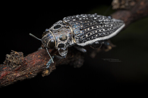
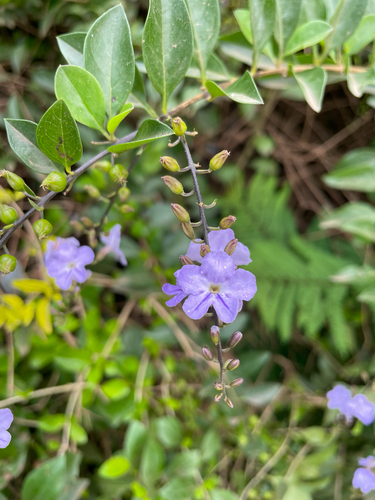
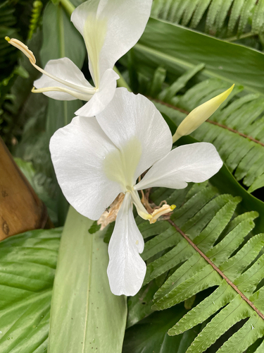
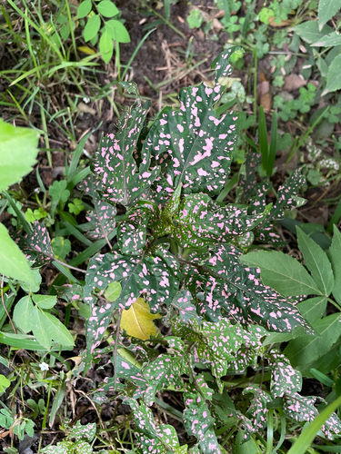
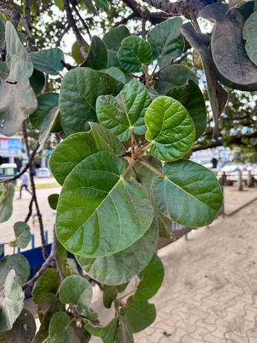
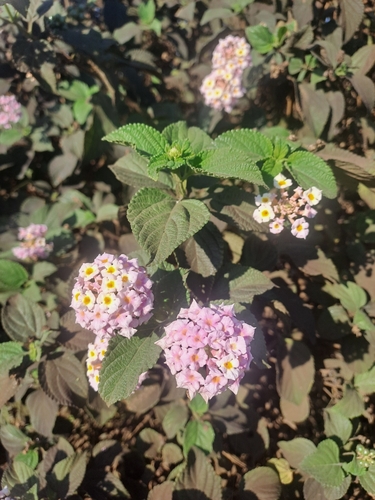
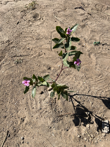
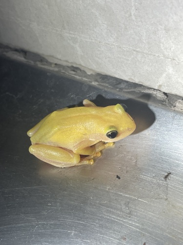
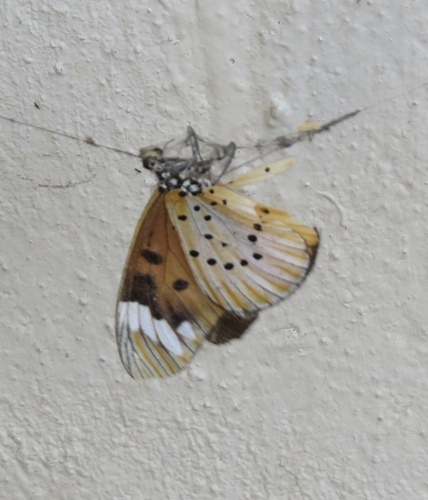
Research-grade observations from iNaturalist (within ~15 mi).
Events
Gallery
Geotagged photos within ~6 miles of Kabwe, from Wikimedia Commons contributors.


Photos via Wikimedia Commons — see each image page for license & attribution.
Sources
- • Wikipedia
- • Wikimedia Commons
- • Wikidata
- • iNaturalist
- • Open-Meteo / sunrise-sunset.org
- • Wikipedia Pageviews API
- • Open Library