Browse / Zambia / North-Western / Kalene Hill
Kalene Hill
North-Westerntown
No image yet
Coordinates-11.17°, 24.19°
Demographic figures from Zambia Statistics Agency. Overview below cites Wikipedia and may reference a different year.
Loading additional data from public sources…0 / 11
CensusWikipediaWeatherPlacesPeopleEnvironmentHealth & SchoolsRelatedGeography & CultureLive MonitoringEvents & Gallery
0% completeCity facts
Overview
Kalene Hill is a community in the northwest of Zambia near a hill by the same name about 3 kilometres (2 mi) to the southeast. It is part of the Ikelenge District. Kalene Hill was the site of an early medical mission. The hospital is still important to the region.
Read more on WikipediaHistory & geography
Geography
Latitude
-11.1684
Longitude
24.1865
Water area
—
Coordinates & boundaries from the US Census TIGER/Line shapefiles.
Climate
Air quality
Walkability
Amenities nearby
Wildlife & biodiversity
Earthquake history
Photos
Sights & places nearby
Notable people from here
Nearby places in North-Western
Geography & sun
Avg solar (kWh/m²/day)
5.45
Annual solar (kWh/m²)
1,990
Elevation, sunrise/sunset and daylight from Open-Meteo. Solar climatology from NASA POWER.
Nearby airports
Public attention
Wikipedia views (last 30 days)
107
Avg daily Wikipedia views
4
Attention level
Obscure
Pageview totals from the Wikimedia Pageviews API.
Books about this place
Recent natural events nearby
Ground air-quality sensors
Recently spotted species
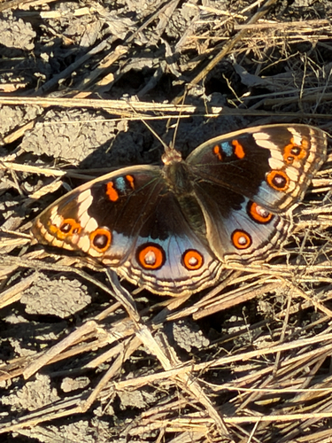
Blue Pansy
Junonia orithya
Seen 2026-05-06
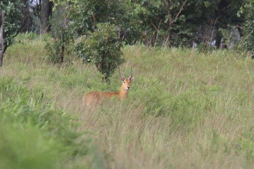
Puku
Kobus vardonii
Seen 2026-01-14
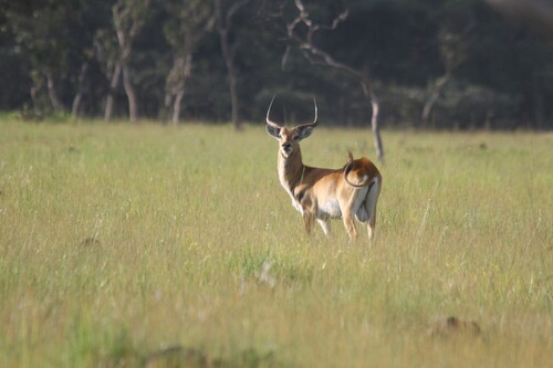
Red Lechwe
Kobus leche leche
Seen 2026-01-10
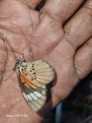
Marshall’s Acraea Mimic
Mimacraea marshalli
Seen 2025-06-02
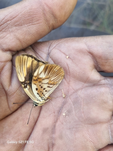
Hewitsonia kirbyi kirbyi
Hewitsonia kirbyi kirbyi
Seen 2025-05-30
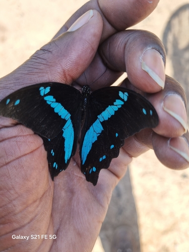
Greenband Swallowtail
Papilio nireus lyaeus
Seen 2025-05-21
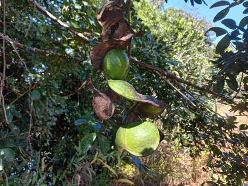
sea heart
Entada gigas
Seen 2025-05-17
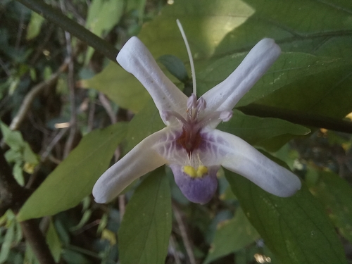
Mellera lobulata
Mellera lobulata
Seen 2025-05-17
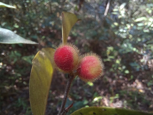
Chaetocarpus africanus
Chaetocarpus africanus
Seen 2025-05-16
Research-grade observations from iNaturalist (within ~15 mi).
Events
Gallery
Sources
- • Wikipedia
- • iNaturalist
- • Open-Meteo / sunrise-sunset.org
- • Wikipedia Pageviews API