Browse / Zambia / Copperbelt / Kalulushi
Kalulushi
Copperbelttown
Total population
96,206
Demographic figures from Zambia Statistics Agency. Overview below cites Wikipedia and may reference a different year.
City facts
Facts from Wikidata (CC0).
Overview
Kalulushi is a town in the Copperbelt Province in north central Zambia. It is located on the M18 road approximately 12 km west of Kitwe. The population of Kalulushi District was 170,701 at the 2022 census. Kalulushi emerged as a planned company town with the development of mining Companies in the mid-20th century - initially housing the main offices for the Zambia Consolidated Copper Mines. Economic activity in Kalulushi declined severely with the closure of 2 Shaft and 7 Shaft Mining sites.
Read more on WikipediaHistory & geography
Geography
Coordinates & boundaries from the US Census TIGER/Line shapefiles.
Climate
Air quality
Walkability
Amenities nearby
Wildlife & biodiversity
Most-observed species
- Common BulbulPycnonotus barbatus (Desfontaines, 1789) · Aves56
- African Pied WagtailMotacilla aguimp Temminck, 1820 · Aves52
- Pied CrowCorvus albus Statius Muller, 1776 · Aves49
- Frade’s Brown House SnakeBoaedon fradei Hallermann, Ceríaco, Schmitz, Ernst, Conradie, Verburgt, Marques & Bauer, 2020 · Squamata43
- Tropical BoubouLaniarius major (Hartlaub, 1848) · Aves37
- Black-backed PuffbackDryoscopus cubla (Latham, 1802) · Aves35
- Red-lipped SnakeCrotaphopeltis hotamboeia (Laurenti, 1768) · Squamata29
- Trilling CisticolaCisticola woosnami Ogilvie-Grant, 1908 · Aves28
Citizen-science & research observations from the Global Biodiversity Information Facility (GBIF).
Earthquake history
Events from the USGS Earthquake Catalog (global) (FDSN Event Web Service).
Photos
Sights & places nearby
Notable people from here
People born within ~10 km, from Wikidata (CC0). Click any name for their Wikipedia article.
Nearby places in Copperbelt
- Luanshya29.6 mi away · pop. 153,117
- Konkola43.6 mi away
- Saint Anthony's44 mi away
- Ujiji558.8 mi away
- Manyovu591.6 mi away
- Kibondo664.1 mi away
- Kakonko689 mi away
- Momba-Peulh2486.1 mi away
- Nyapani2529.5 mi away
- Foltchangou2535.1 mi away
- Natiaboani2540.4 mi away · pop. 14,350
- Matiacoali2543.8 mi away · pop. 4,673
Geography & sun
Elevation, sunrise/sunset and daylight from Open-Meteo. Solar climatology from NASA POWER.
Nearby airports
Public attention
Pageview totals from the Wikimedia Pageviews API.
Books about this place
Recent natural events nearby
Ground air-quality sensors
Recently spotted species
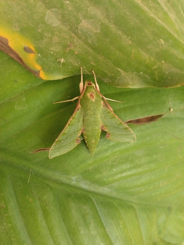
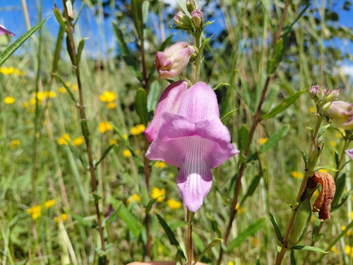
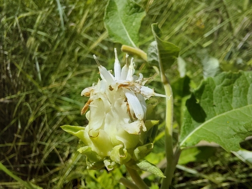
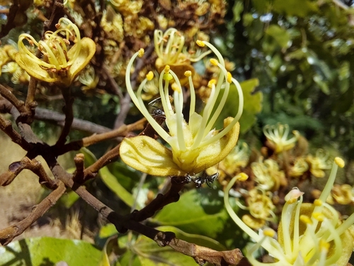
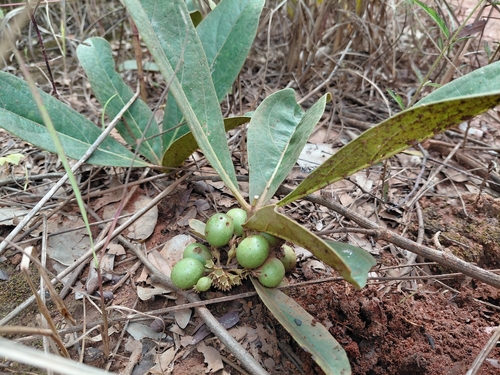
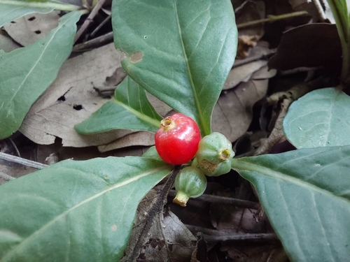
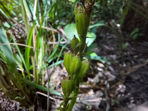
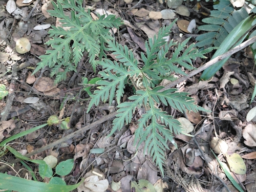
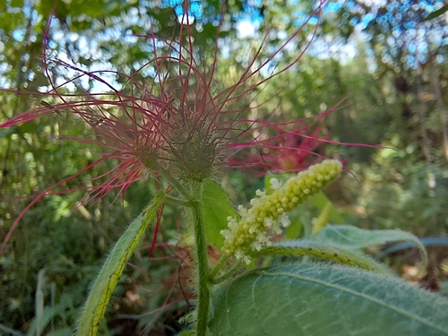
Research-grade observations from iNaturalist (within ~15 mi).
Events
Gallery
Sources
- • Wikipedia
- • Wikidata
- • USGS Earthquake Catalog (global feed)
- • GBIF (Global Biodiversity Information Facility)
- • iNaturalist
- • Open-Meteo / sunrise-sunset.org
- • Wikipedia Pageviews API